Last Updated: 2nd Jan 2026
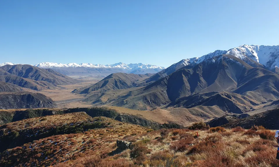
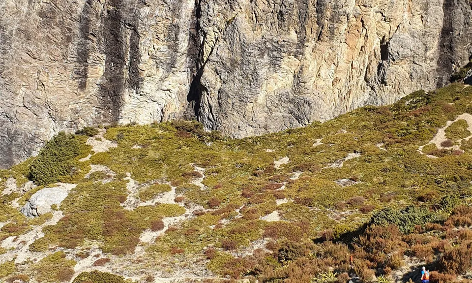
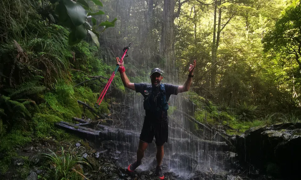
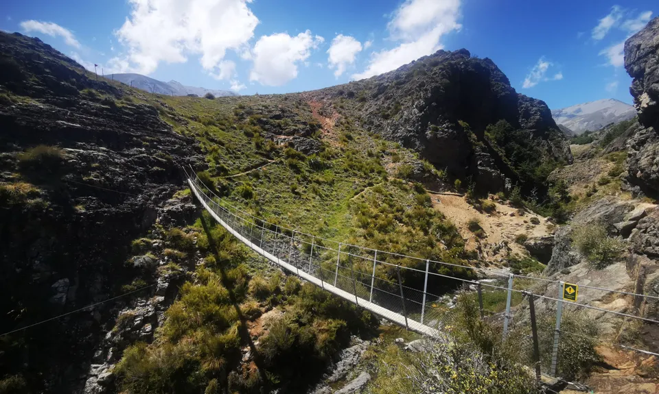
Mt Somers - Round The Mountain
Last Updated: 2nd Jan 2026
Open
Grunt Factor: 58 ?
Gnarl Factor: 76 ?
26.0km
1800m
1800m
1180m


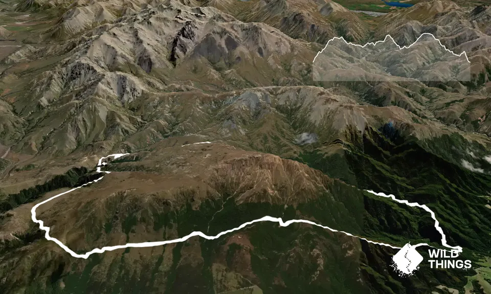
Trail Map
This Topo layer only covers NSW/ACT.
Switch to another map layer when viewing outside this area.
Switch to another map layer when viewing outside this area.


