Last Updated: 3rd Dec 2025
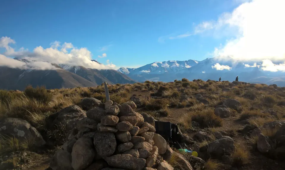
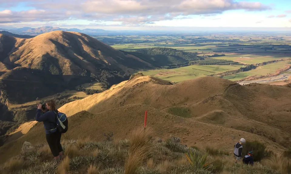
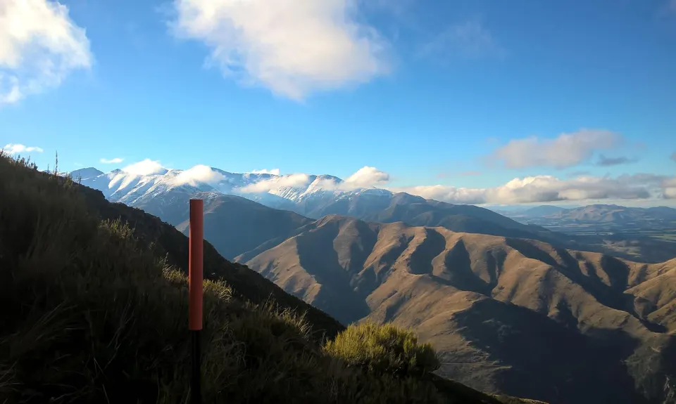
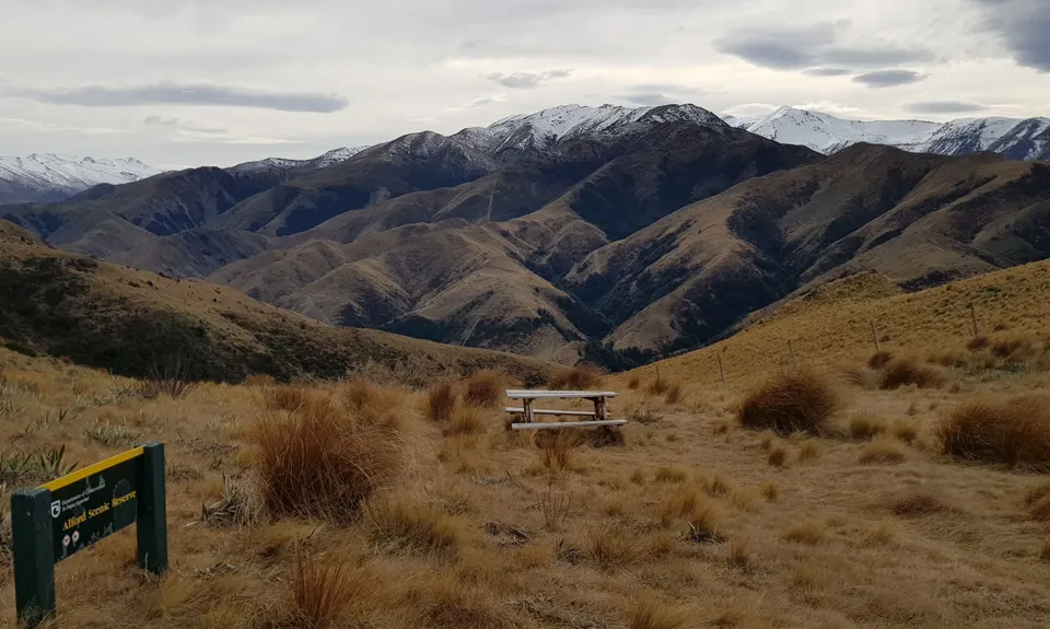
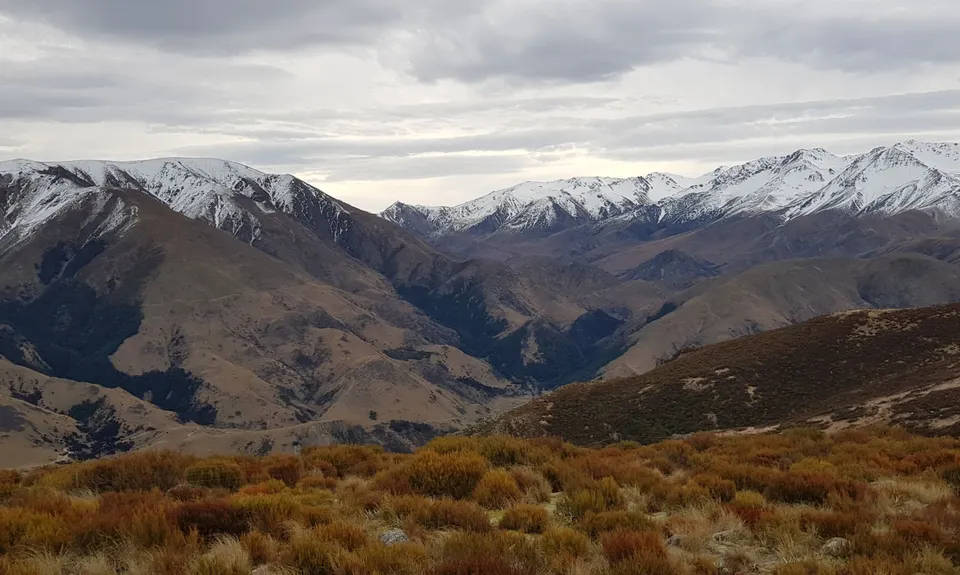
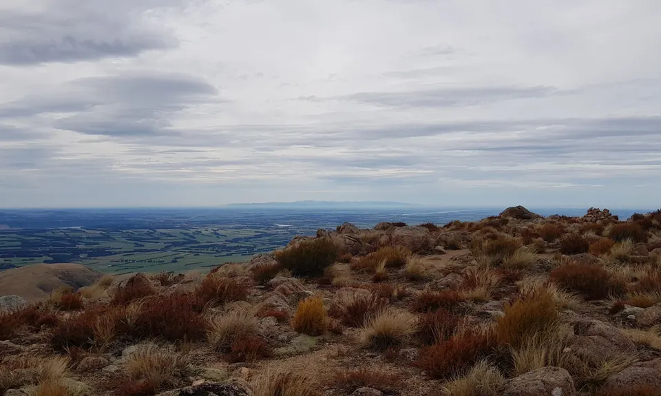
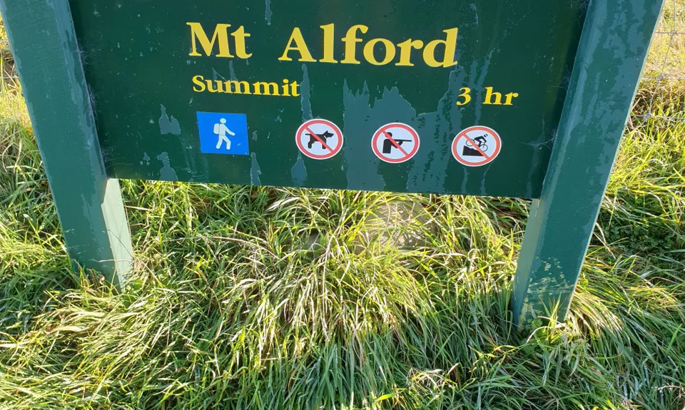
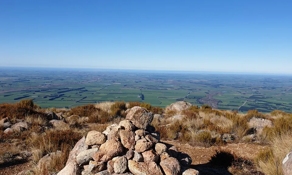
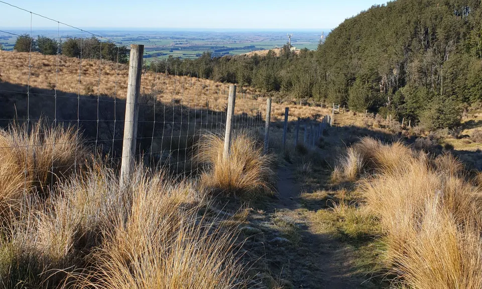
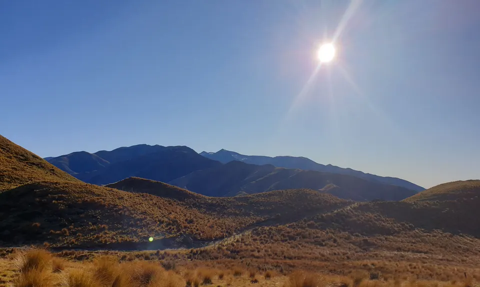
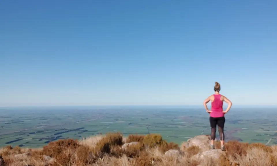
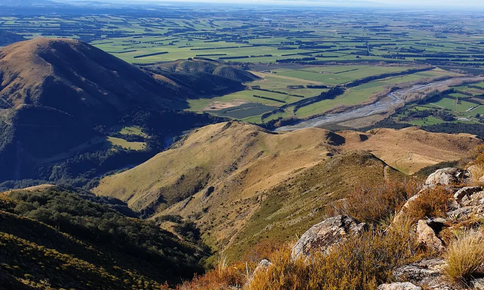
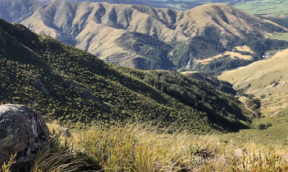
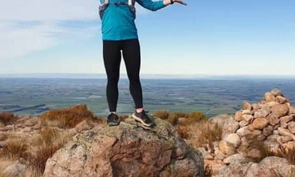
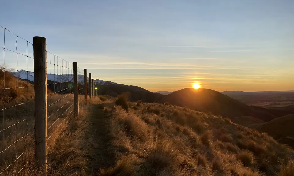
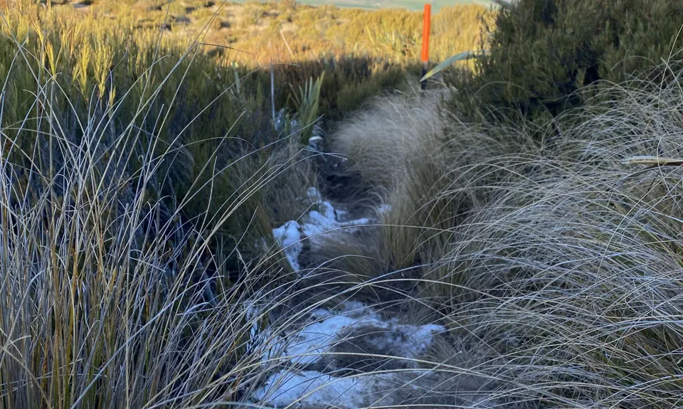
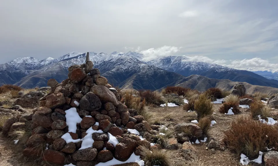
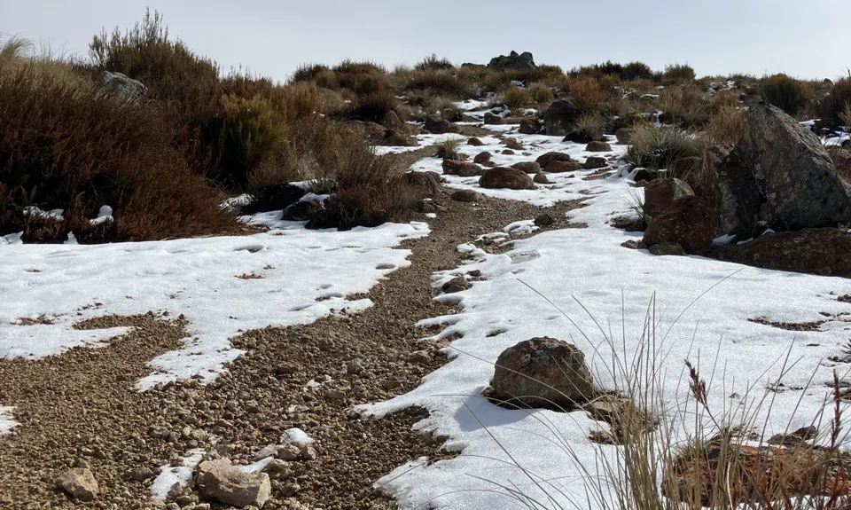
Awesome Alford
Last Updated: 3rd Dec 2025
Grunt Factor: 29 ?
Gnarl Factor: 61 ?
9.0km
750m
750m
1171m
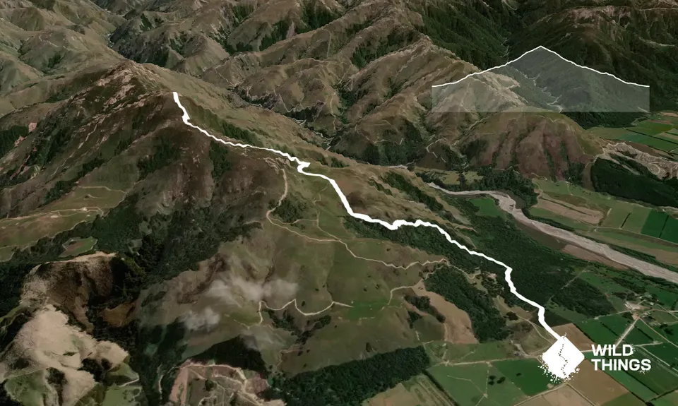
Trail Map
This Topo layer only covers NSW/ACT.
Switch to another map layer when viewing outside this area.
Switch to another map layer when viewing outside this area.


