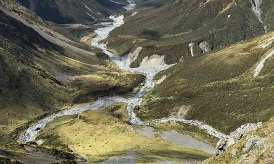
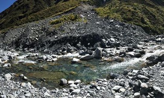
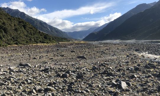
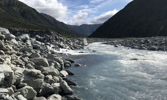
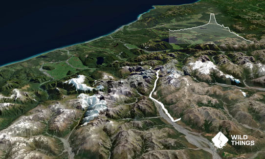
THIS IS A SERIOUS BACK COUNTRY MISSION, DO NOT ATTEMPT IF INEXPERIENCED! Start with an easy 7k of 4wd track before starting to rock hop/river cross your way right up to the climb to Browning Pass. As you turn out of the main valley into the upper Wilberforce it noticbly narrows and becomes more terrace negotion and shingle fan crossings which really puts a knife in your average speed. Keep looking around - there are amazing steep valleys and the odd animal around.
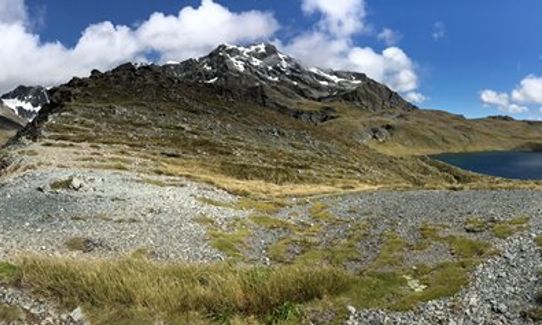
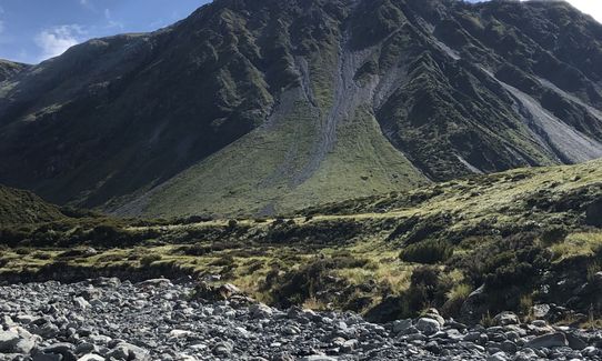
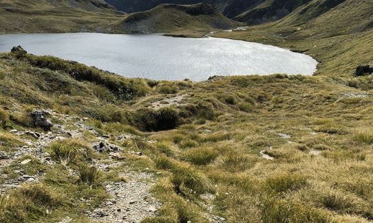
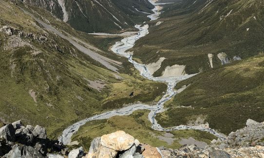
There is a good grunt up to Browning Pass and it is worth every bit of effort. Amazing surroundings of a big basin with a lake meet you and massive peaks either side of you. Follow the DOC markers carefully down to Arahura riverbed. Fantastic Coast to Coast training begins, boulder hopping down here for several kms untill traversing up onto the pack track starting about 2k from Harmen Hut.
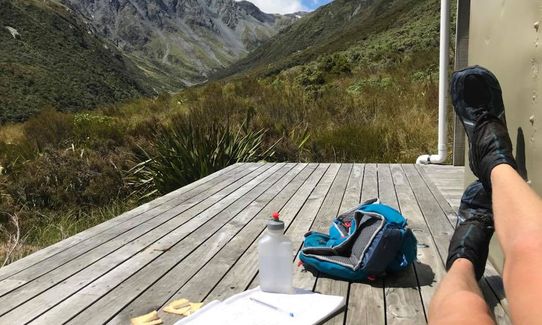
Rest up here (I had lunch.) You then go more up but undulate round to Styx Saddle before descending to Grassy Flat hut. Give your quads a well deserved rest here before the 14k slog out to the Styx road end - not to be underestimated!
The whole way is sheer mountainous beauty. The huts are notable points of interest. There are 5 huts to inspect and fill in hut books at. Make sure you do this as they help SAR find you if you get lost.
If you know of any public toilets near the trail start or on the route, please login and then let us know so we can update this section.
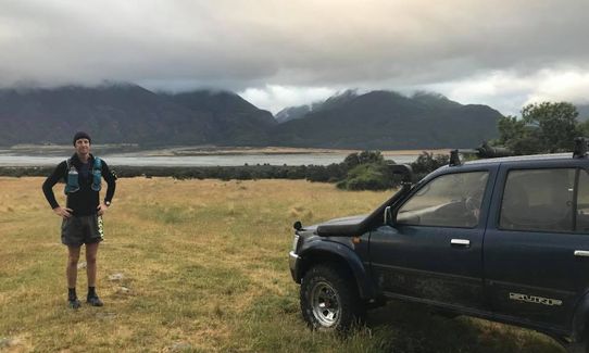
Park wherever turns you on.
77 km
170 minutes
Unknown
No
Hard.
Up to Browning Pass you follow the river bed. There are some broken walk trails but they are hard to follow. The river is the best bet and your own intuition.
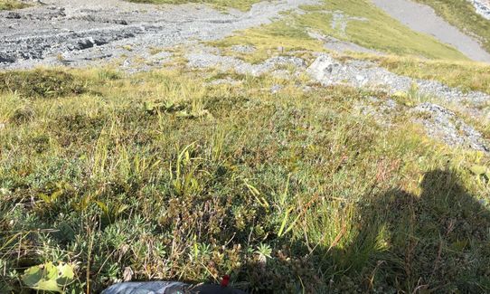
After the pass the track is easy to follow till round the lake and descending the first spur. Further down however the poles are harder to keep track of so keep looking up as if you get off trail you will get very bluffed.
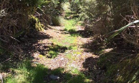
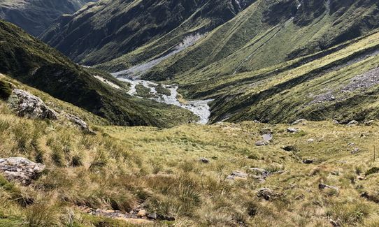
Once down to the Arahura riverbed you follow this until it turns up to the pack track, which is easy to follow untill the end.
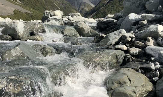
The streams provide good water the whole way.
The only part to watch is the last 4-5k of the Styx as stock are grazed up there.
There are however side streams pretty much to the road end which are beautiful and clean.
Seasonally I would only attempt this in Summer-Early Autumn as other times of year it could easily turn into an overnighter. There are many river crossings, some over knee deep (my knees that is and I am 195cm tall) at the lowest flows. I know someone ran over all the way from grassy flats nearly to the end and couldn't cross the Styx so had to go all the way back to the hut. Not ideal.
Generally mountainous so the weather is the main hazard. Take care around the tops not to get bluffed and stay on trail. Use common sense on river crossings - remember common sense is not that common!!
A good forecast will make or break your trip.
Also decending off Styx Saddle the pack track has some very slippery rocks - not obvious, when descending rapidly become a lot more dangerous. This descent is also a great place to roll your ankle as you are getting knackered and the track is very uneven. Button off the pace or walk if necessary - it might save you a chopper trip out.
Kokatahi Hotel
Kokatahi
Kokatahi Hotel - Grenville Berry - 03 7758490
I reccomend staying here the night after - Allow 3 days for entire adventure and you wil want at least one support driver to drop you off and pick you up. The hotel is 15k from the end. It is a classic West Coast pub with good back packer type accomodation but also double rooms - one with an ensuite for $90 double! Book in advance and keep in touch with Grenville regarding weather forecast and possible changes. Hes a good bugger!
Do you have another suggestion on where to go afterwards for the best coffee / cake / breakfast / brunch / beer?
I ran this as a personal challenge to myself and set myself a time of 12-14hours. Stoked I made it out in 9 and had an absolute ball looking round the country and taking it all in plus enjoying the huts along the way. The area is stooped in history in every direction. Try and make the time to enjoy it :)
These overlap with this trail to some degree. You may wish to combine them but please note that to qualify for FKTs on these runs you should record a separate activity for each.
We don't store or share your location; it's only used for these features. You can continue without it, just without distance sorting and live map features.
Send to your phone
Scan the below QR code to open this trail on your phone.
Tip: position the QR code in your phone camera screen.