Last Updated: 21st Sep 2023
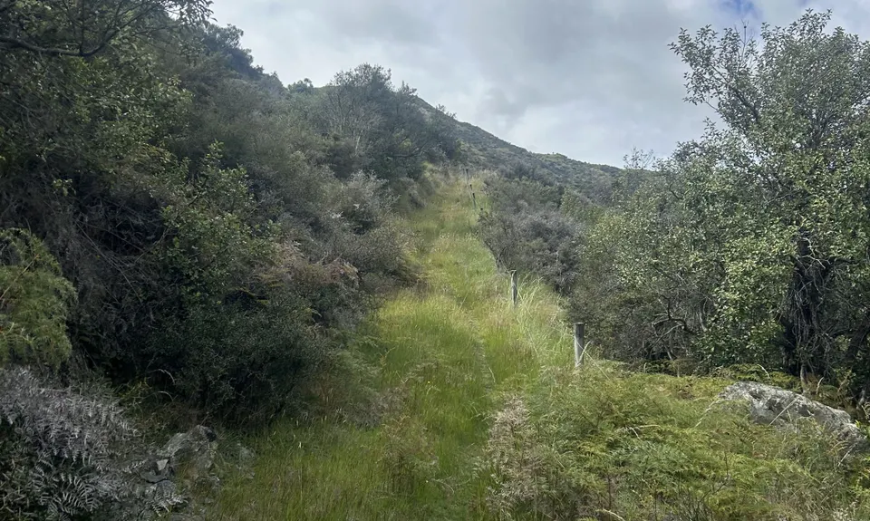
Trails and Tribulations
Last Updated: 21st Sep 2023
Open
Grunt Factor: 41 ?
Gnarl Factor: 54 ?
20.3km
850m
850m
940m
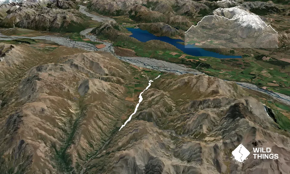
Trail Map
This Topo layer only covers NSW/ACT.
Switch to another map layer when viewing outside this area.
Switch to another map layer when viewing outside this area.


