Last Updated: 21st Sep 2023
Aamped and Clomped
Last Updated: 21st Sep 2023
Grunt Factor: 27 ?
Gnarl Factor: 64 ?
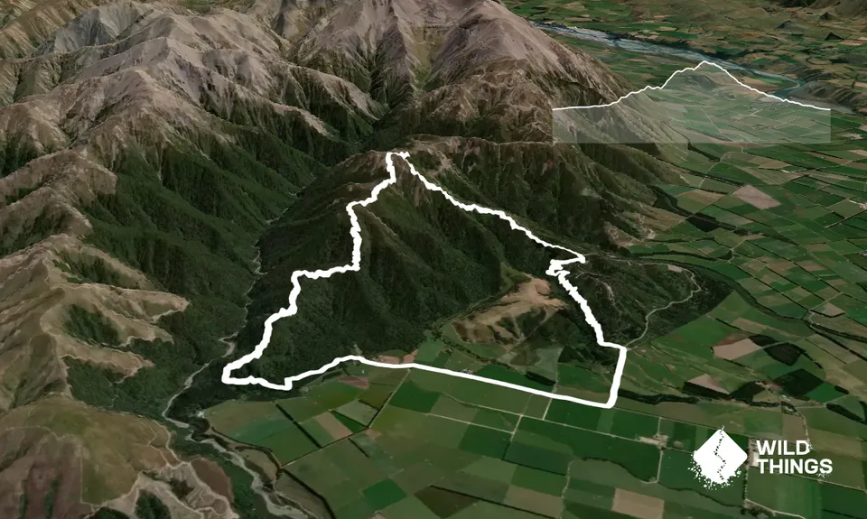
13.9km
760m
760m
1115m


Trail Map
This Topo layer only covers NSW/ACT.
Switch to another map layer when viewing outside this area.
Switch to another map layer when viewing outside this area.


