Last Updated: 20th Oct 2024
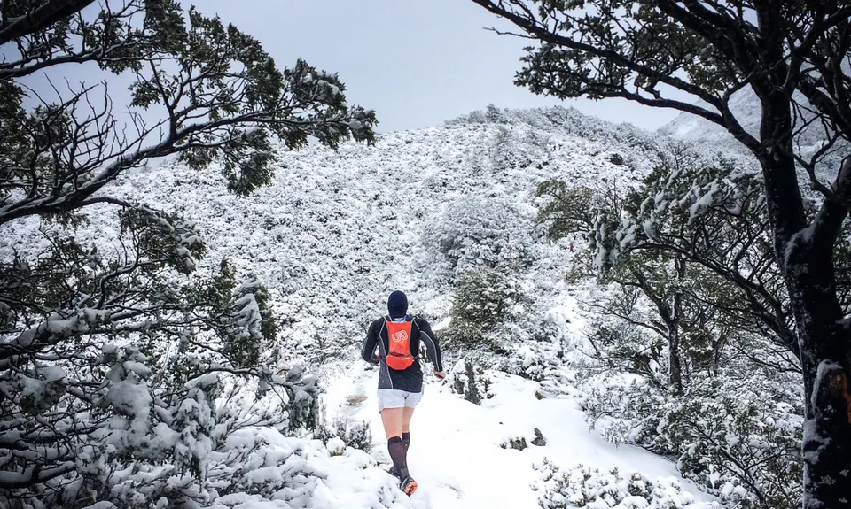
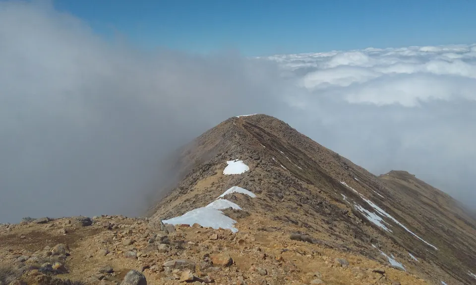
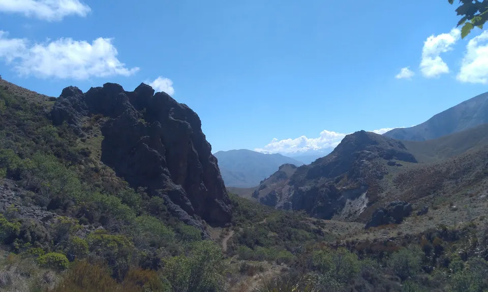
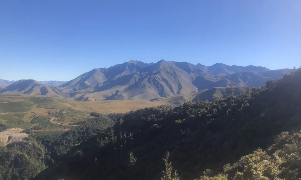
Mt Somers - Over the Top V1
Last Updated: 20th Oct 2024
Open
Grunt Factor: 53 ?
Gnarl Factor: 83 ?
21.0km
1650m
1650m
1688m
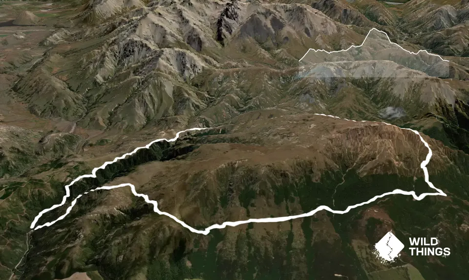
Trail Map
This Topo layer only covers NSW/ACT.
Switch to another map layer when viewing outside this area.
Switch to another map layer when viewing outside this area.


