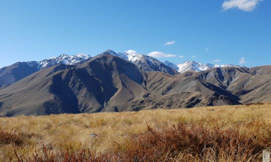
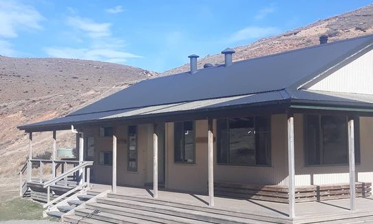
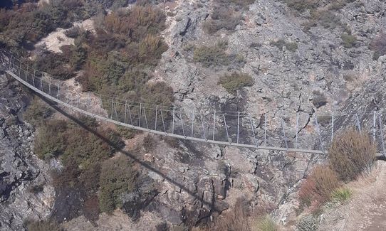
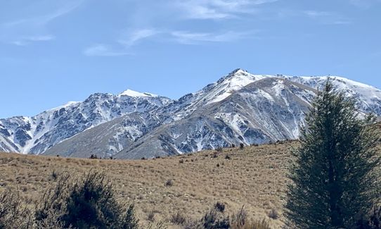
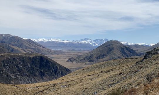
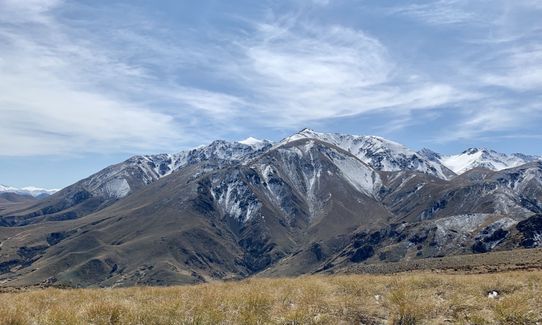
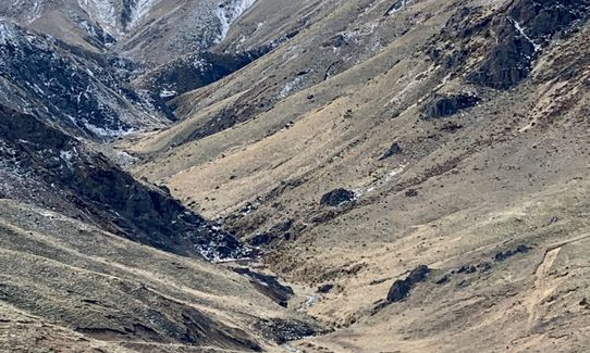
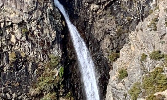
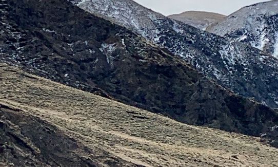
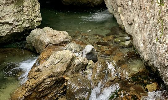
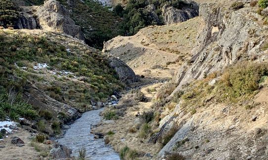
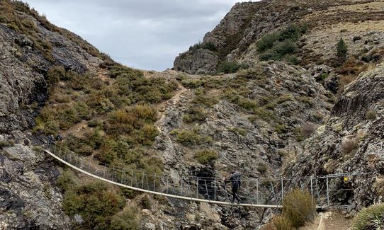
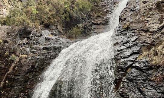
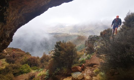
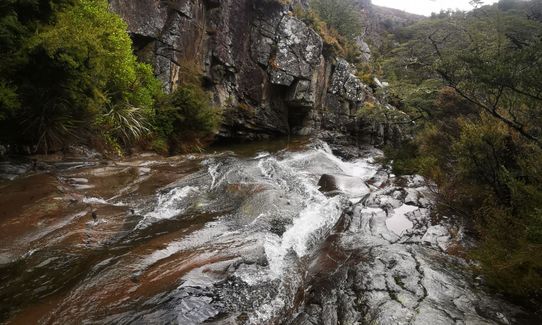
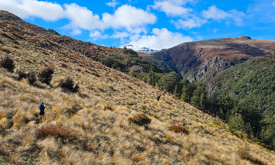
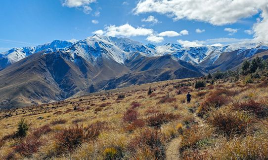
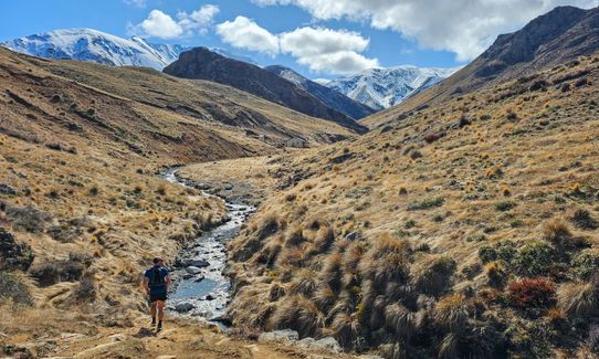
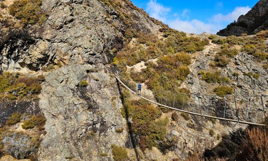
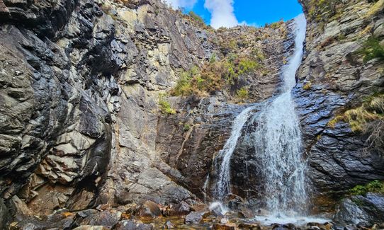
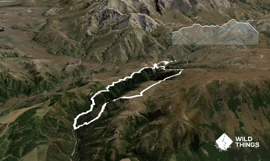
Mt Somers Woolshed LoopBeginner - Intermediate
Submitted by Jo ONeill
Front country - easily accessible
Loop
Very hilly
Native bushPlantation/exotic forestOpen tussock/grasslandsOpen ridges/tops
Beginner - Intermediate
5:00 (Slow)
3:30 (Moderate)
2:30 (Fast)
-15.5%
+13.9%
Fastest Known Times (FKTs)
Please set your gender to see your position on the FKT leaderboards.
The more , the harder the FKT will be to beat. Learn about Fastest Known Times.
Description
Leave from Woolshed carpark on the Cool Mine route, arrive after steep climb at the Woolshed Hut, cross river and enjoy short walk further up to Water caves, then backtrack and follow signs to South Face. Again climb to reach the saddle, then down past the bus stop (!!!) onto the Rhyolite Ridge and the steep decline back to Woolshed carpark.
Trail Community
Features of interest
Old Coal mine, Woolshed DoC hut, Water caves, Swing bridge, amazing views
Make Up of Run
Technical Single Track: 70%
Moderate Single Track: 20%
Easy Single Track: 10%
Route Data
Reviews:
Overlapping Runs
The following trails overlap with this run to some degree. You may wish to combine them but please note that to qualify for FKTs on these runs you should record a separate Strava activity for each

Mt Somers - Over the Top V1
Length: 21.00km
Photos:
Your Trail Wishlist
All the runs that are on your To Do list (no limit).
Add to wishlist view wishlistWild Explorers
I did it!-
Access
Woolshed Carpark. From Mount Somers township, follow Ashburton Gorge Road for approx. 10 km before turning right into Jig Road. Follow Jig Road to the end.
Good car parking with Toilets
45 km
36 minutes
No
No
-
Staying Safe
Moderate.
Make navigation of this route super-easy by using the Capra app on your phone. View on Capra .
Always look for the next Orange tipped standard to make sure you are on the track, be aware of the weather and do not attempt in fog/low cloud if not been before
Very patchy.
Thermal leggings, Lightweight fleece top, Short-sleeved thermal top, Long-sleeved thermal top, Seam-sealed waterproof jacket, Windproof jacket, Gloves, Beanie/thermal headwear, Whistle, First aid kit, Extra food for emergencies, Cellphone, Compass, Map, Crampons / microspikes (for winter conditions), Gaiters.
You can drink from the flowing rivers by hut and along track no problem i would carry 1litre water with you at all times
Not recommended in winter months - ok during spring and autumn check with DOC staff before hand if worried - weather can come in very fast so be prepared
Normal tree roots and rocks etc constant on the track
-
Post run indulgence
Stavely Cafe or Mayfield/Methven depending on your direction
Lovely track with amazing views -
Sponsor this trail
See other runs nearby:
Mt Somers - Round The Mountain
Mt Somers - Over the Top V1
Lake Camp and Clearwater Loop
Trails and Tribulations
Awesome Alford
Lake Lilian Track
Browning Pass - Southern Alps Crossing
The Southern Pinnacles
Mt. Taylor Dual
Rakaia Rush
Aamped and Clomped
Hakatere Shoe Washer
Mount Somers Summit Loop via Pinnacles Hut
Scotts Pudding Loop
The Lady Lakes
Edoras on Sunday