Last Updated: 21st Sep 2024
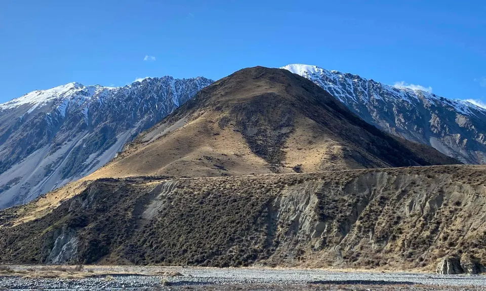
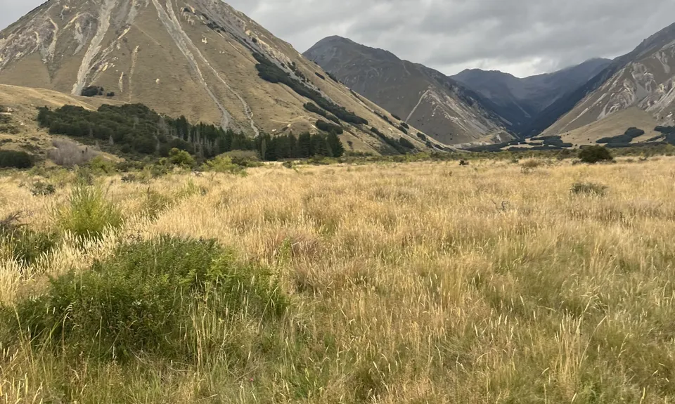
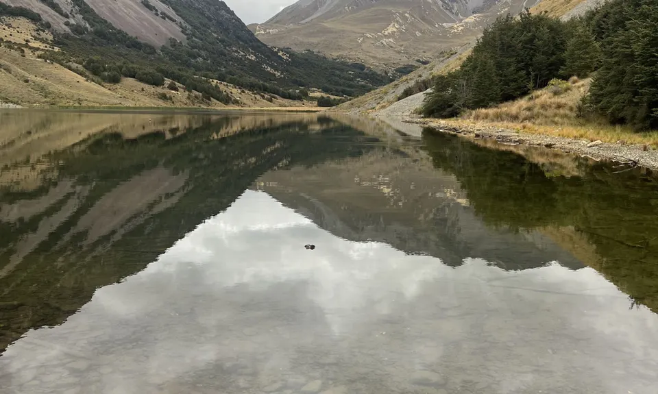
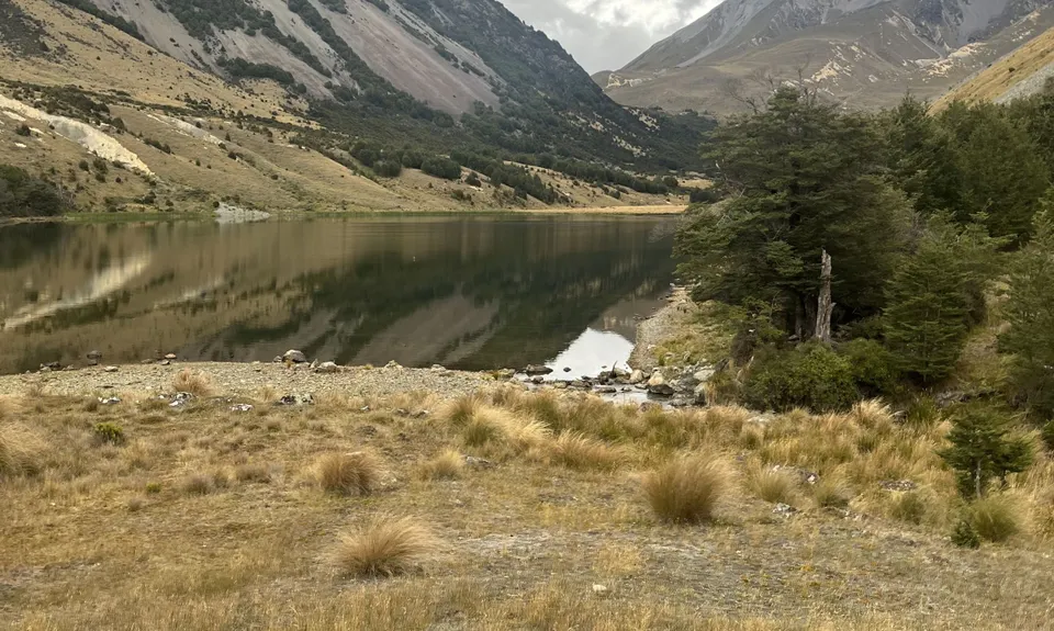
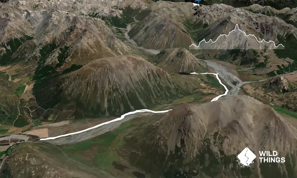
Lake Lilian Track
Last Updated: 21st Sep 2024
Open
Grunt Factor: 27 ?
Gnarl Factor: 9 ?
20.9km
260m
260m
700m

Trail Map
This Topo layer only covers NSW/ACT.
Switch to another map layer when viewing outside this area.
Switch to another map layer when viewing outside this area.


