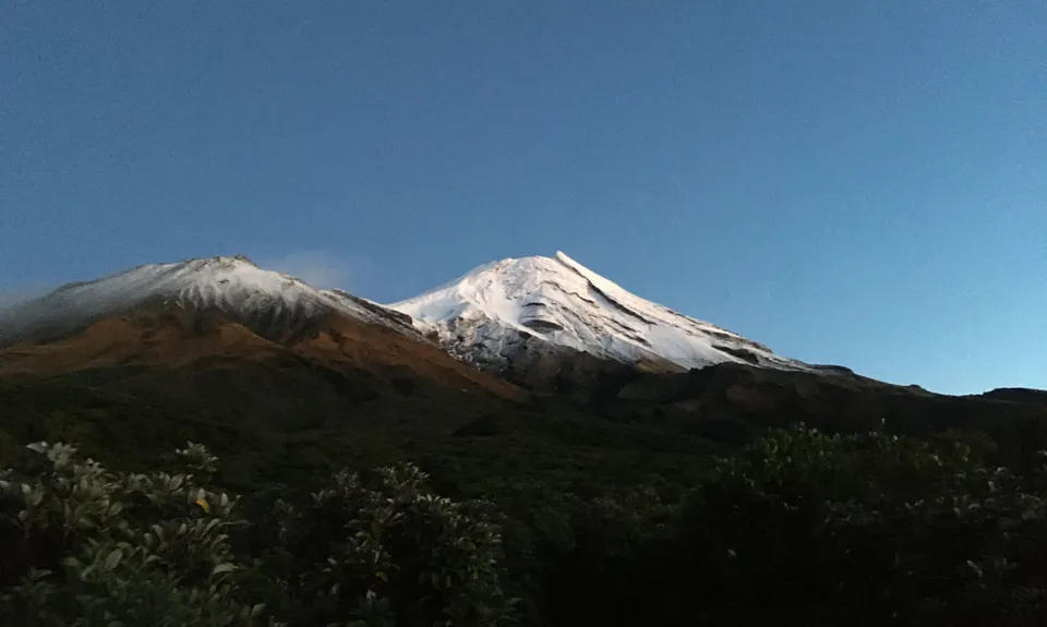
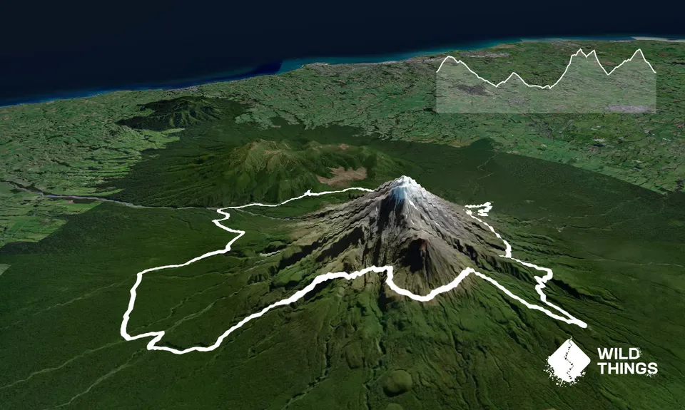
This is the classic Round The Mountain track with a bit of a detour to Kahui Hut that will give you 3,000m+ of climb over the full length. It can be done in a single push or you could fastback it, overnighting at Kahui Hut. NB log one of FKTs (Fastest Known Times) for this trail you'll need to do it in a single day.
Leg 1: North Egmont Visitor Centre to Kahui Hut (18.5k, 940m ascent)
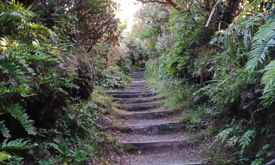
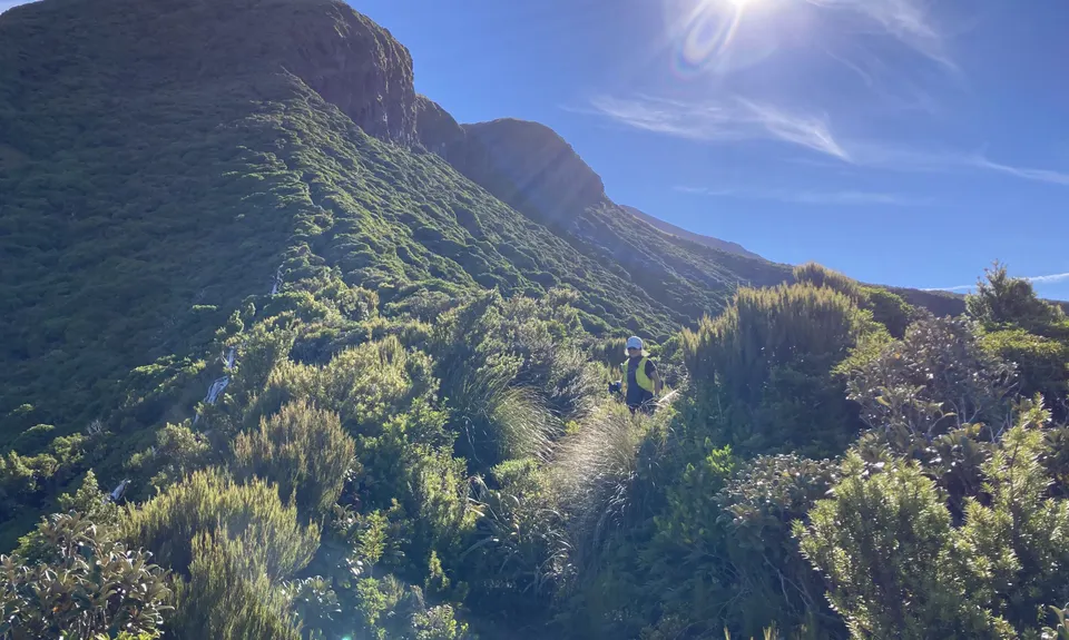
Starting the run at the North Egmont visitors centre you take the Round The Mountain track/Holly Hut track which climbs and snakes it's way around the mountain's flanks. The first point to be careful is the Boomerang Slip - take your time and check your footings. A couple more ridges further on the views of Henrys Peak and Ahukawakawa swamp are on your right.
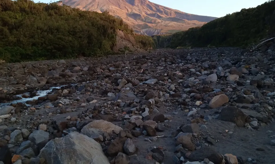
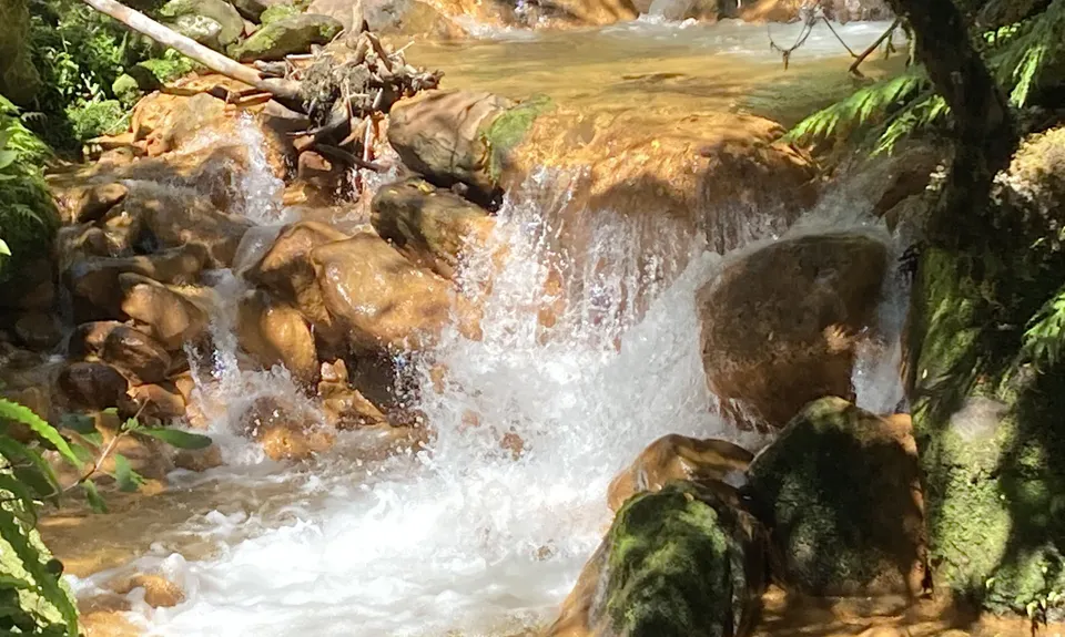
When you arrive at Holly Hut continue past the hut towards Bells Falls. You will reach an intersection for the Falls that is a up and back track so head up for a photo and drink bottle refill. When back from the Falls continue following the track which has changed to the Stony River track heading to the Puniho Track. This does get overgrown for a short period (follow the orange track markers) before popping out at the Stony River headwaters. The track follows the river for a while so a bit of stone/rock running and a few small river crossings (keeping a eye on the orange track markers), before turning back into the bush and up and down a few ridges until you get to Puniho Track.
At the track intersection right heads to the road (4km ish) while left heads to Kahui Hut. Take the left turn and continue up the track to Kahui Hut. The track is a moderate climb and winds around the mountain through native bush until arrival at the hut.
Leg 2: Kahui Hut to Dawson Falls (19.1k, 1420m ascent)
Starting off at the Kahui Hut you head south down the track winding through the bush until the track turns on to Oaonui Track heading towards Waiaua Gorge Hut.
This track is fairly easy going with a few small creek crossings. When nearing Waiaua Gorge Hut the track changes to Brames Falls Track. Continue on, climbing steadily and you will reach an intersection - continue straight ahead on the Brames Falls Track (ignore the right on to Taungatara Track which heads to Lake Dive Hut)
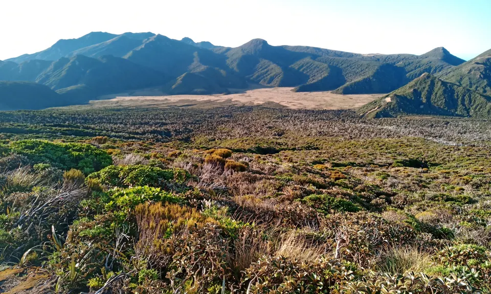
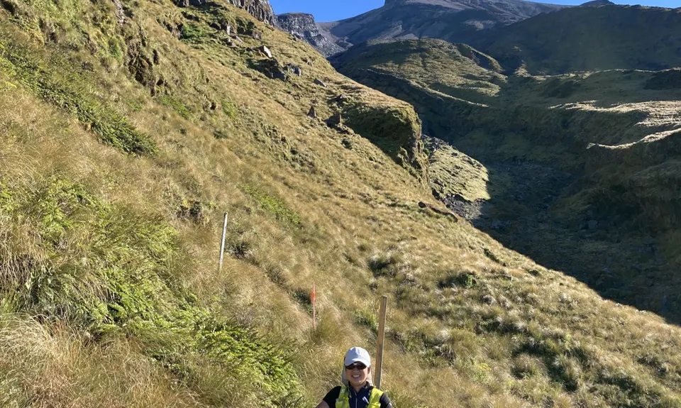
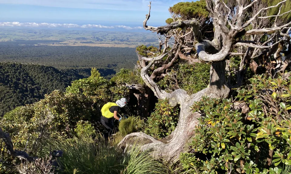
Continuing along Brames falls track you follow a ridge up straight towards the mountain, climbing steeper and steeper and eventually moving out of the bush up into tussock. Now the trail snakes around the mountain up and down the ridges and starts to drop altitude. The next intersection is with the trail from Lake Dive Hut. Follow the track towards Dawson falls - this is the upper track of the Lake Dive Circuit. A couple of km from the intersection is a lava chute/track you have to cross and looks pretty amazing - you should be able to see Tongariro in the distance on a nice day.
At the next intersection you head right down the Summit track and follow it downhill all the way to Dawson Falls.
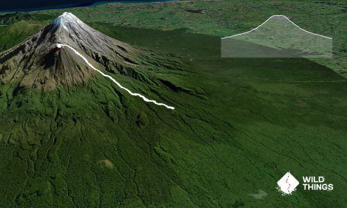
Leg 3: Dawson Falls to North Egmont Visitor Centre (10.8k, 650m ascent)
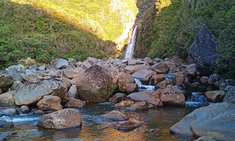
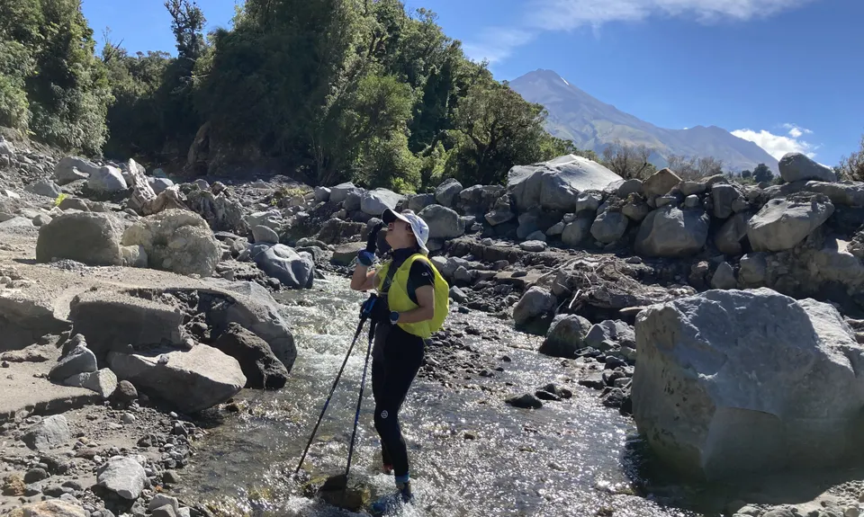
Starting at Dawson Falls head up the track towards Wilkies Pools. After about 1.5km you cross a bridge which is at the pools (the pools are formed in the rocks of the creek, good for a dip in summer.) Continue following the same track - you are heading towards the Stratford Plateau carpark for the ski field. There is a couple of turn offs along the way but just keep heading straight.
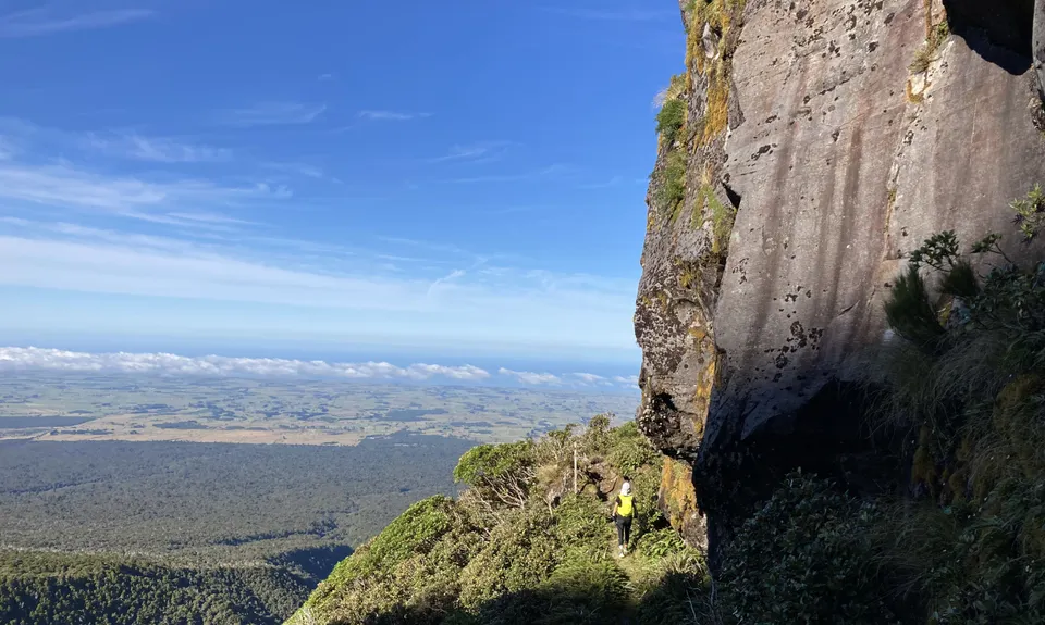
You climb and snake around the mountain until you pop out at the carpark. Here, head left towards the mountain and follow the track to the ski field. This starts off as a gravel road and then turns into single track closer to the ski field. When eventually reaching the ski field the track heads towards the ski lift and from here on it's a steady climb all the way to the Tahurangi Lodge and the Translator - this is a single track following the ridges and valleys, climbing from bush up to tussock. Eventually the lodge and translator will come into sight, hang a right at the next intersection and it's all down hill past the lodge heading towards North Egmont visitors centre. The track is a gravel track that the 4WDs use to service the Translator. You drop about 450m in 2.5km before ending up at the Visitors Centre.