White CliffsBeginner - Intermediate
Submitted by Aaron Wilks
Front country - easily accessible
Combo
Undulating, some big hills
Native bushBeachCoastalOpen farmlands
Beginner - Intermediate
5:45 (Slow)
4:00 (Moderate)
3:00 (Fast)
-9.0%
+10.2%
End of the track crosses private land and is closed July-September for lambing, check DOC website.
Fastest Known Times (FKTs)
Please set your gender to see your position on the FKT leaderboards.
Men
There are currently no male FKTs for White Cliffs.
Women
There are currently no female FKTs for White Cliffs.
Filter FKTs
The more , the harder the FKT will be to beat. Learn about Fastest Known Times.
Description
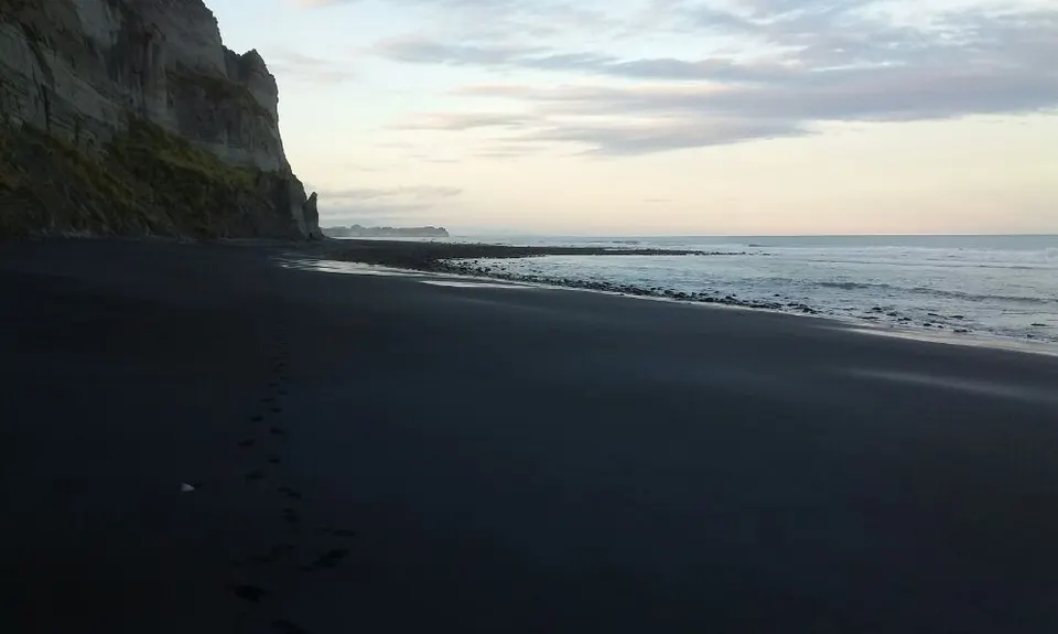
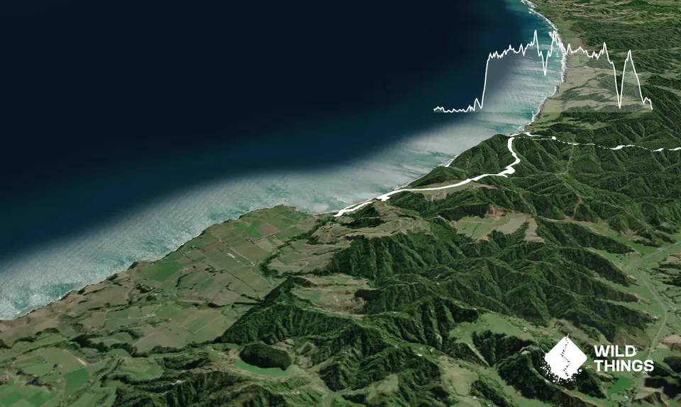
The first 5km of the track is along the the beach and should only run on a low tide, ideally one hour before low tide!!
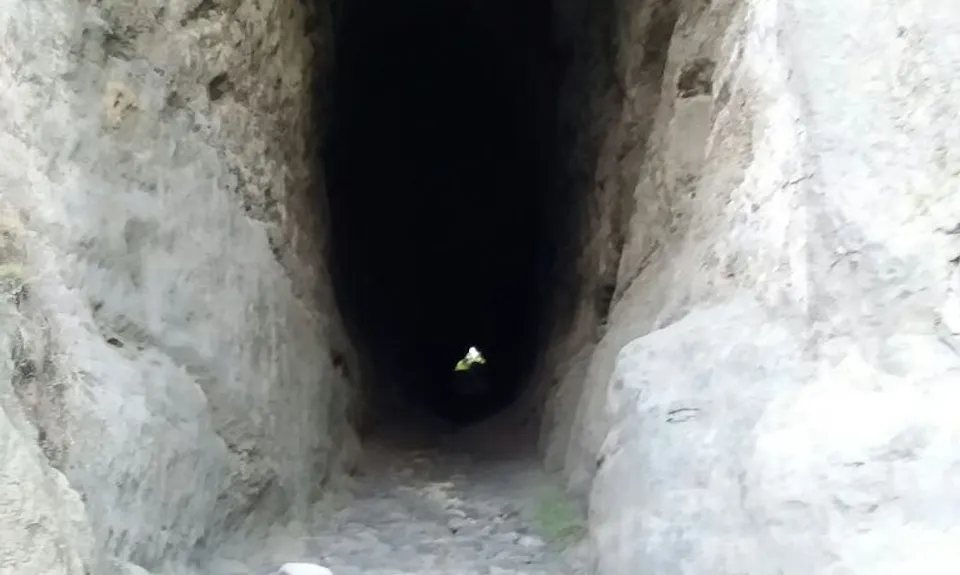
Head from the road down onto the beach and along the beach, depending on the sand depth some rock running maybe required. After about 5km you should come up to a stock tunnel through the cliff face. After the tunnel, continue up the track a few hundred meters where you meet a farm track - turn right and you will shortly head down a hill. Just at the bottom of the hill take a right back parallel to the shoreline. This is easy to miss as it is overgrown. If you find yourself coming back down to the beach you have gone too far
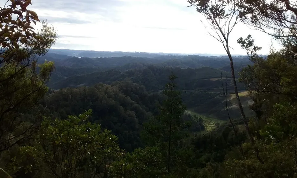
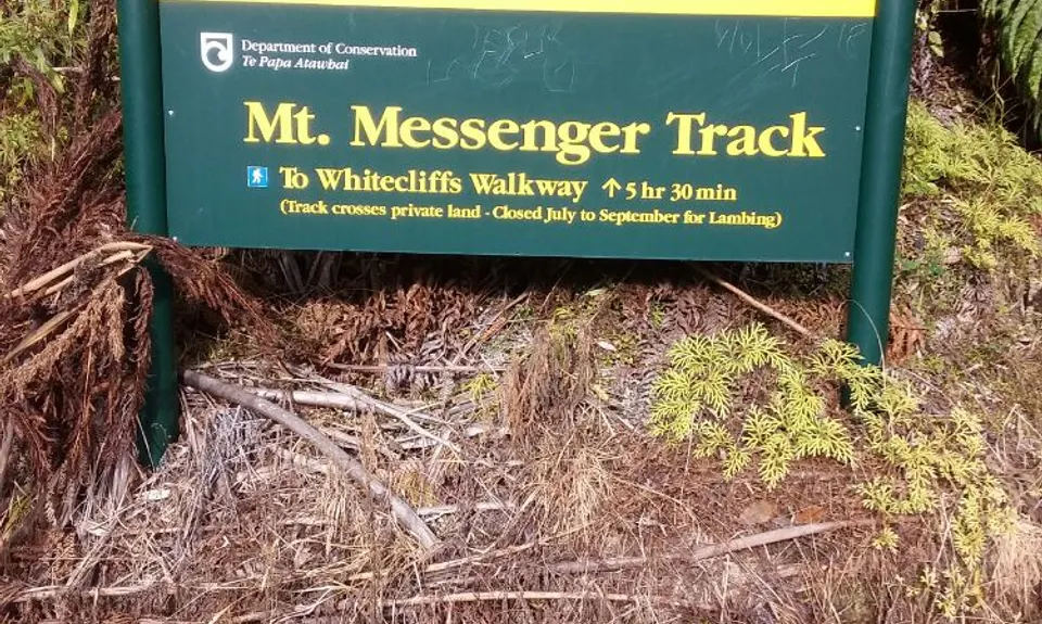
After climbing up a few hills a turn-off should appear to head to Mt Messenger - head left (inland) and continue along the track to Mt Messenger, it is mostly easy to follow but when you meet a farm track don't go left or right down the track, look for the orange track signs across the track, just slightly to the right of where you meet the track. The track heads up and down ridges with a final climb and descent of Mt Messenger ending up at State highway 3, your turn around to head back.
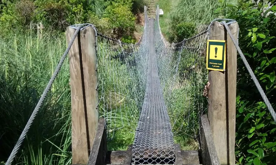
When back at the turn off head left along the trail which rises and falls along the ridges before descending down a valley across a bridge, a turn off will appear right leads to the beach, head left up the hill, after reaching the top of the hill you head onto private property, follow the orange track markers across the paddocks and follow the the farm tracks back to the road.
Trail Community
Features of interest
Stock tunnel, coastal views.
Make Up of Run
Technical Single Track: 40%
Moderate Single Track: 40%
Farm Road / 4WD Track: 20%
Route Data
Reviews:
Photos:
Your Trail Wishlist
All the runs that are on your To Do list (no limit).
Add to wishlist view wishlistWild Explorers
I did it!-
Access
The end of Pukearuhe Road past Wai-iti beach.
Parking on the side of the road end.
47 km
42 minutes
No
No
-
Staying Safe
Moderate.
Generally good.
Long-sleeved thermal top, Seam-sealed waterproof jacket, Gloves, Beanie/thermal headwear, Whistle, First aid kit, Extra food for emergencies, Cellphone, Map.
Take all your water with you.
Check the tides, go on a low tide only.
Check if lambing season.Check the tides, go on a low tide only.
-
Sponsor this trail
See other runs nearby:
Tahurangi Traverse
Pouakai Hut and Tarns
Ninja Stealth Urban Trail
Pouakai Summit
Waiwhakaiho Track
Makatawa Loop
Lake Mangamahoe
Holly Hutt Track
Up The Stony
Kokowai Loop
Kahui Hut
Mangorei to North Egmont
Pouakai Crossing
Meeting of the Waters
Davies Track
NP Urban Trail Run
Pouakai Circuit
Rain Forest Romp at Pukeiti
Taranaki RTM with a Twist
Looping Lucys
Ratapihipihi
Mangakotukutuku Falls
Fanthanaki double summit loop
Mana Bay- Patea river and beach