Last Updated: 14th Oct 2025
Meeting of the Waters
Last Updated: 14th Oct 2025
Open
Grunt Factor: 7 ?
Gnarl Factor: 24 ?
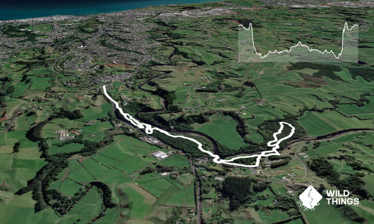
6.1km
100m
100m
110m


Last Updated: 14th Oct 2025
Last Updated: 14th Oct 2025
Open
Grunt Factor: 7 ?
Gnarl Factor: 24 ?
6.1km
100m
100m
110m
Urban fringe
Out and Back
Undulating, small hills only
Dog Friendly
Native bush
Plantation/exotic forest
Riverside
Easy Single Track
Technical Single Track
Untracked / Route only
Average Uphill Gradient: +4.50%
Average Downhill Gradient: -4.40%
VIP Feature: Send this route to your Garmin account so you can follow the course on your Garmin device.
Become a VIP Member to see the trailhead information.
1:00
Slow
0:45
Moderate
0:30
Fast
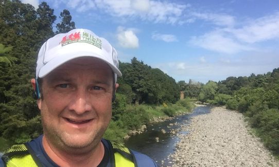
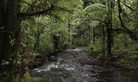
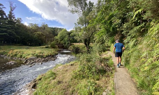
This is a nice short run I use to try and improve some of my technical running skills which is close to town. Start at the top of Mangorei Rd and head into Burgess park. The track heads down the hill and through the reserve following the river. You can follow the track up to the highway and cross Mangorei Stream using the footpath but I choose to drop into the river and cross it then climb the bank on the southern side where you will find the Meeting of the Waters track.
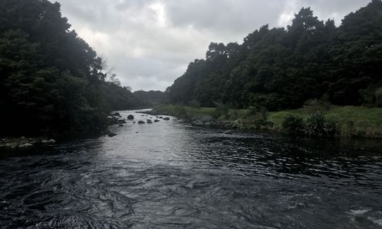
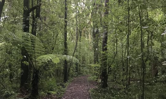
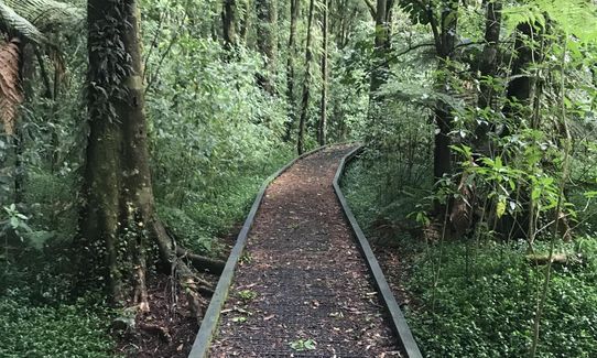
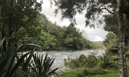
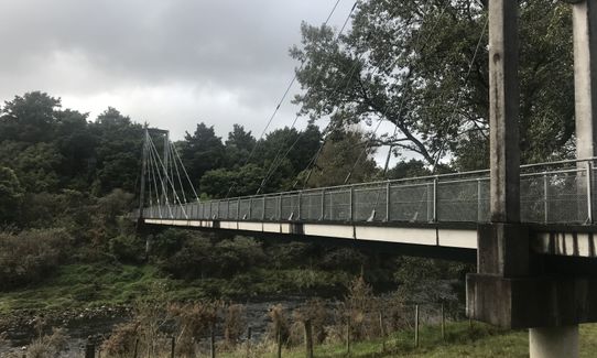
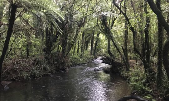
Follow this track past the carpark and over the tailrace bridge. The track follows the river side of the TOPEC campground to the suspension bridge (or I drop into the river bed and practice my rock hopping then cross the river under the bridge and climb back up to rejoin the track). The track then follows the Araheke Bush loop - a short loop through the bush, to return back to the suspension bridge and return the way you came.
If you know of any public toilets near the trail start or on the route, please login and then let us know so we can update this section.
Lots of parking on the roadside
6 km
8 minutes
Yes
No
Easy.
Perfect throughout.
Long-sleeved thermal top, Whistle, First aid kit, Extra food for emergencies, Cellphone, Map
I wouldn't recommend drinking from the rivers
Muddy after rain
The rivers rise rapidly after rainfall on the mountain but can also rise if the power company increases water flow through the power station
Do you have a suggestion on where to go afterwards for the best coffee / cake / breakfast / brunch / beer?
Trail Legend
Login as a VIP to become a Trail Legend. Learn about Trail Legends.
Fastest Known Times (FKTs)
You and Meeting of the Waters
As a VIP member you can record private notes for this trail, see all of your times and more.
Already have an account? Login now
DB
Very easy track that goes through beautiful bush. I did the Araheke Bush loop a few times to add some distance.
December 29, 2019
Send to your phone
Scan the below QR code to open this trail on your phone.

Tip: position the QR code in your phone camera screen.
Plan smarter, stay motivated, track your progress, and unlock the full Wild Things experience — while saving along the way.


