Last Updated: 21st Sep 2023

Beginner

Save Trail Save

I've done it Done

Ninja Stealth Urban Trail

New Plymouth, Taranaki

Submitted by Rob Edkins

Last Updated: 21st Sep 2023

Beginner

Save Trail Save

I've done it Done

Open

Grunt Factor: 19 ?

Gnarl Factor: 19 ?

19.8km

320m

330m

78m


Login as a VIP to see driving directions, distance and time.

Trail Map

Type of Run

Urban fringe

Combo

Undulating, small hills only

Dog Friendly

Native bush

Plantation/exotic forest

Coastal

Riverside

Run Makeup

5%
80%
10%
5%

Sealed Road

Easy Single Track

Moderate Single Track

Technical Single Track

Average Uphill Gradient: +4.1%

Average Downhill Gradient: -4.0%

Trailhead

Login as a VIP to see the trailhead information.

Estimated Times to Run

3:00

Slow

2:30

Moderate

2:00

Fast

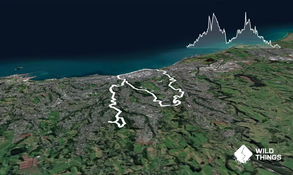
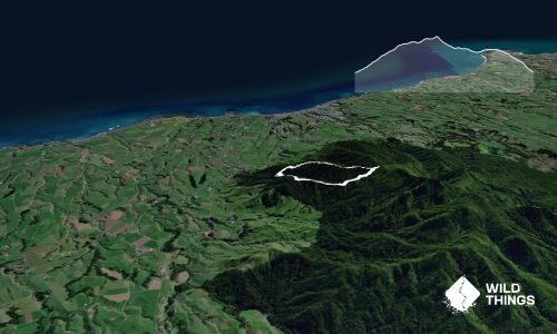
The obvious place to look for trails in New Plymouth is to the South, where not too far away there are some significantly pointy bits of rock. Taranaki itself is a solid 2500m of unremitting 'up' and the Pouakai range next to it is pretty much all over 1000m. Even the Kaitake's out on the coast have some serious gnarl in them.
Sometimes though, when the mountain hides in freezing clag or for other reasons you can't get out to the ranges I've found it's possible to get in a solid trail run with minimal road close to the center of town.

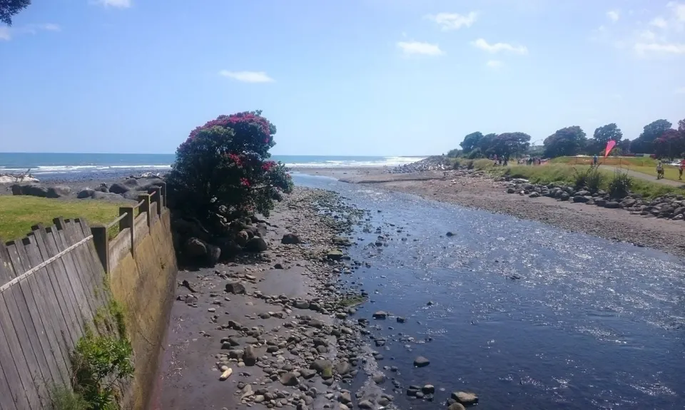
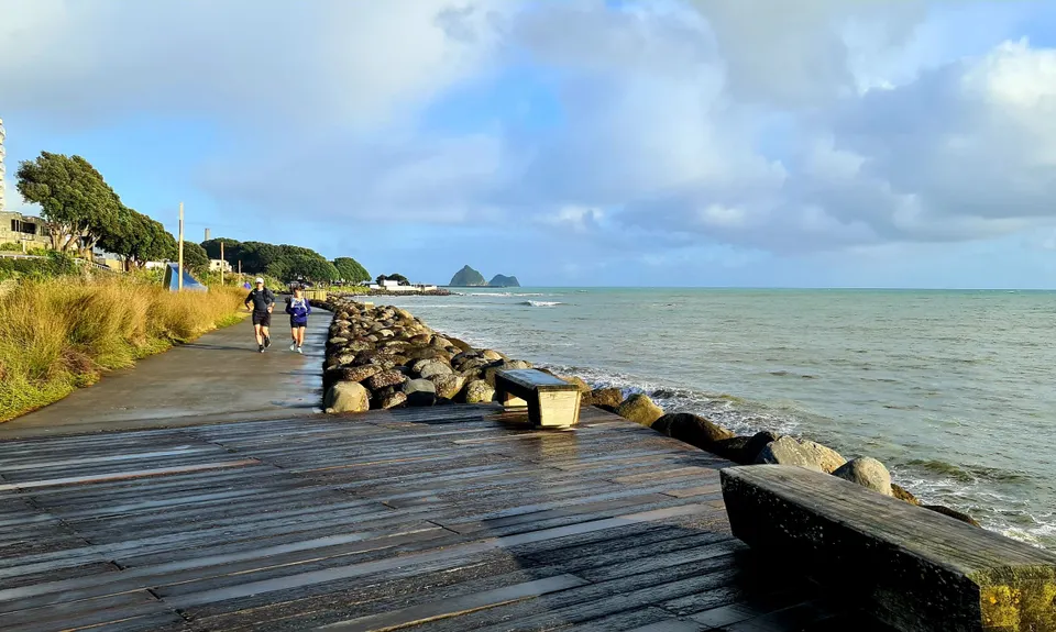
The run starts on the coastal walkway at the mouth of the Te Henui stream so the best place to park is East End, past the East End Surf club to the car park at the end of the road.
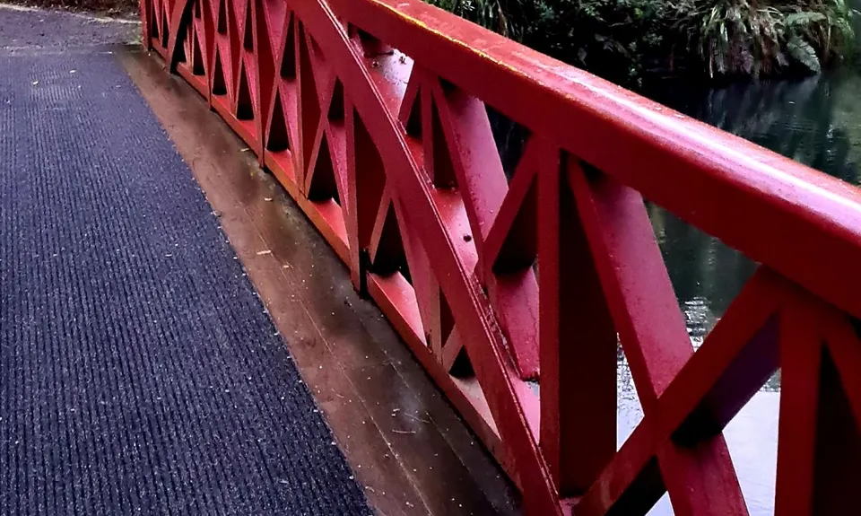
The river mouth is just beyond the car park, where the New Plymouth Coastal Walkway crosses over a foot bridge. The Te Henui path starts just to the left of the Eastern end of the bridge and heads inland. After a hundred metres or so cross over the small bridge toward the bowls and croquet lawns, then head left along the right bank of the stream. This part of the run is fairly tame, with formed paths and is popular with bikes, so keep an eye/ear out for two wheeled traffic.
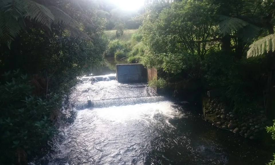
The path winds along the river bank under a couple of roads and a railway bridge then begins a gradual climb for the next 2-3 km. About 1.5k in there is an option for a side trip up to the Pukewaranga Pa site (if you fancy a 200m vertical hill challenge). After a bit you'll come to a fancy concrete bridge that crosses over the river to your right. Ignore this and keep to the left, following the original riverbank path through a gnarly bit that is mercifully free of cyclists. You'll come out a bit further upstream where the main path crosses back over another bridge, having basically just cut out an S-bend in the river.
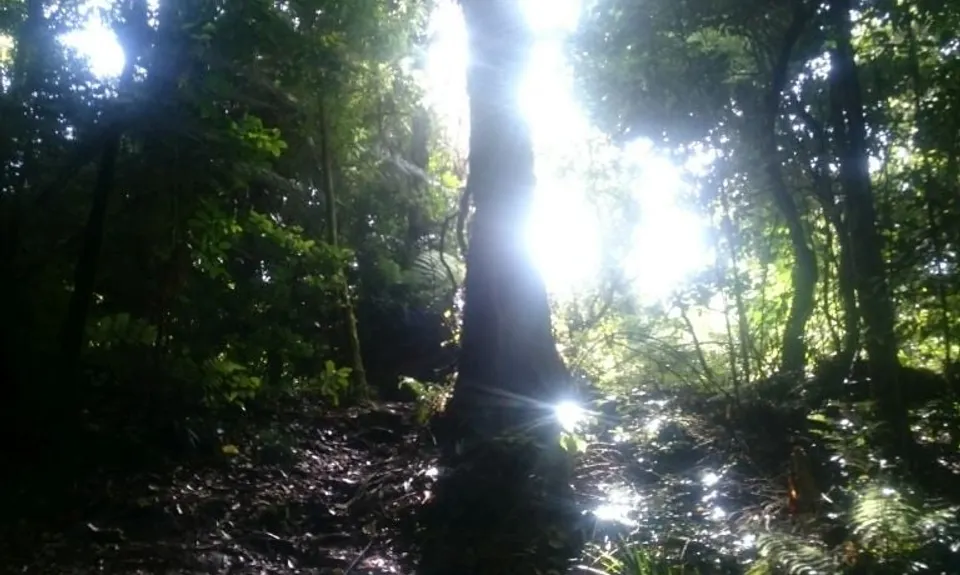
From here just keep following the path upstream until you get to the Cumberland Street road bridge. Go to the right under the bridge and up to the footpath on the other side then go left across the bridge. The track starts again just across the bridge on your left. Keep going upstream, where it gets progressively more rugged and eventually you'll get to a bit where there is a climb straight up a steep bank to Junction Rd. Follow the path around to the left instead as it doubles back around and up a series of steps to Durham Ave. This is the only real road section (sorry about that!) but it's only about 100m down to Junction Street where you turn right and follow it round to Tarahua street and over to Coronation Ave by Highlands Intermediate about 1km away. Cross over and you'll find a path down behind the tennis court that leads into the top of Pukeura Park.
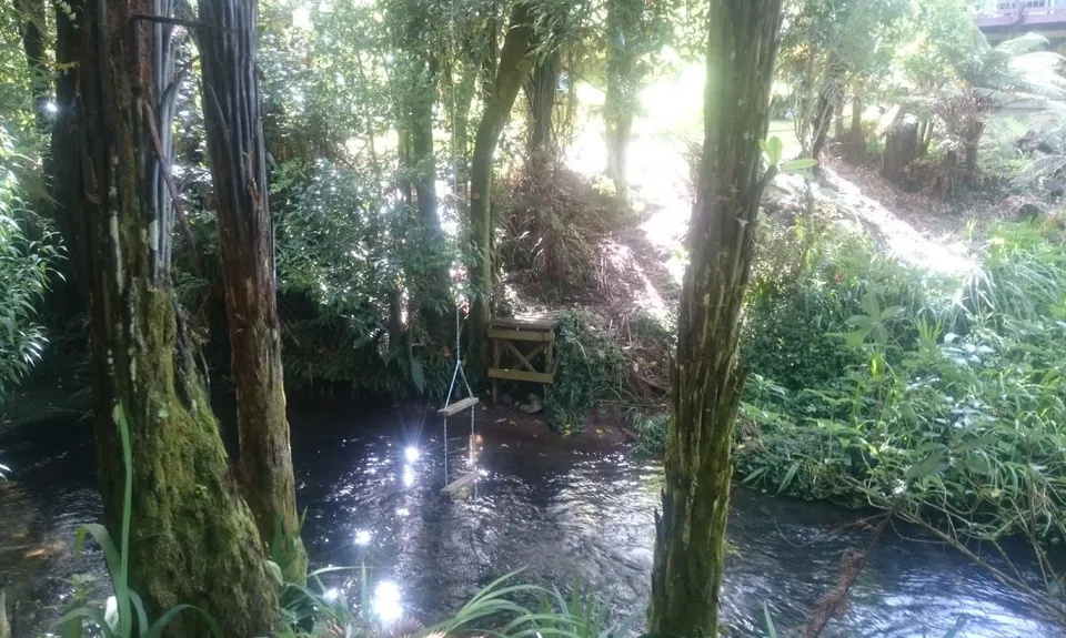
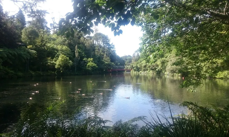
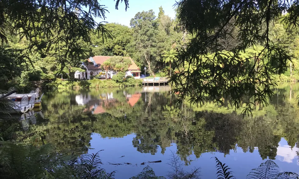
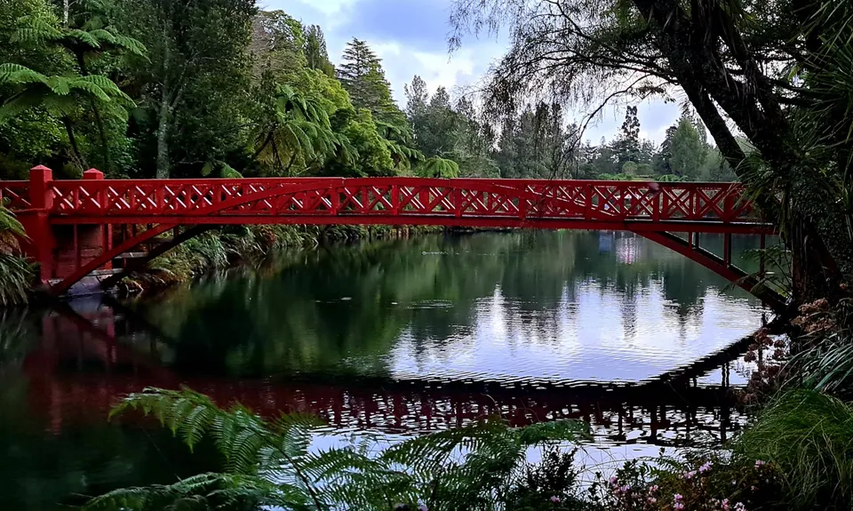
Now there's a fun bit, running through the trees down through the park, which is actually relatively wild up the top here. Keep to the right of the stage at the Brooklands bowl and head on past the lily pond and then over the Poets Bridge, to run down the left side of the boat lake, past the playground to the Victoria Street entrance.
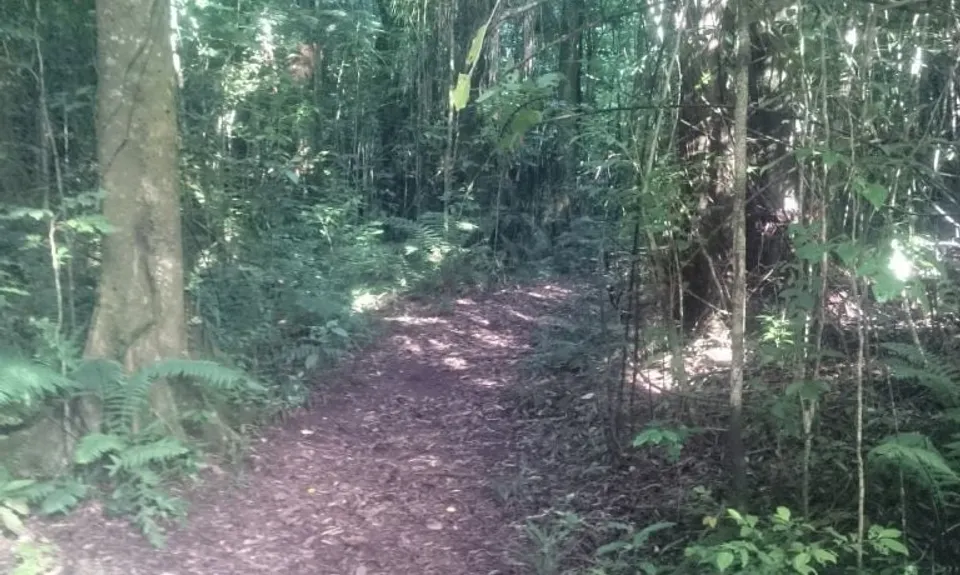
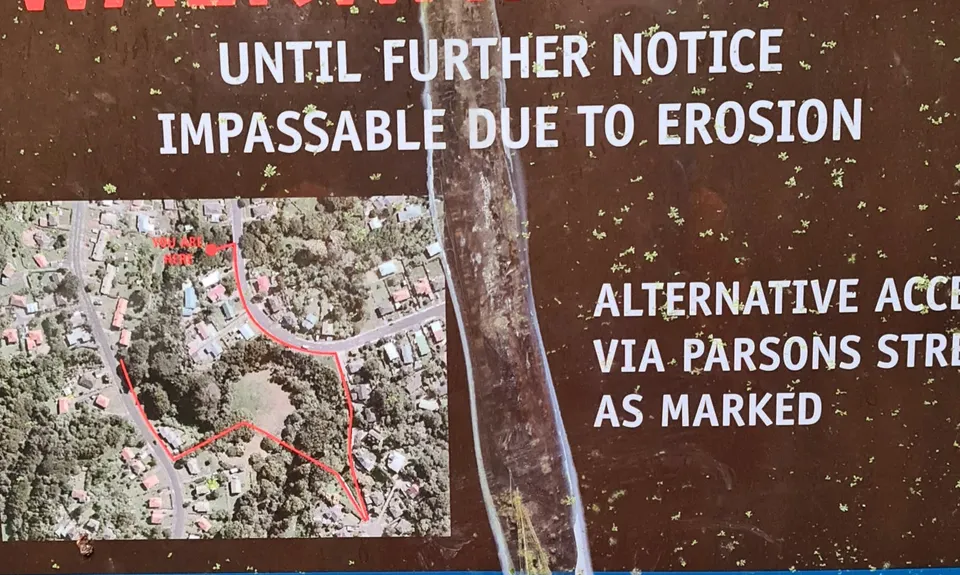
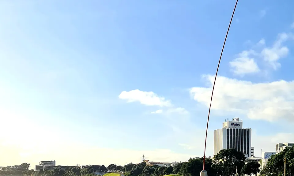
Go down and across Carrington Rd and take Redcoat Lane down to the Huatoki Stream Walkway. Follow this to the left all the way up to Huatoki Domain (about 3km). There's a couple of places where you do a couple of short doglegs on roads, just keep an eye out for the orange posts marking the walkway. At the far end of the Huatoki Domain across the road is Tupari Domain which has a cool bush circuit of about 2km that is as gnarly as anything in the Waitaks or Hunuas. Do a lap of this track and then head all the way back down the Huatoki walkway to town and the coastal walkway by the Wind Wand. From here it's about 1.5km back around the coast to the start at the Te Henui bridge.
So there you go. 20km, over 400m of elevation, less than 2km of road and never more than about 5km from the middle of town. Not bad eh?

Sea coast, Historical sites.

From central New Plymouth head east on Devon Street East towards Fitzroy.
Just before Strandon shops, turn left down Nobs Line and follow it down to East End reserve.
At the bottom of the hill turn left and go the car park at the end of the road, past East End Surf Club

3 km

7 minutes

Yes

No

Easy.

Keep an eye out for the orange posts marking the walkways.

Generally good.

Short-sleeved thermal top, Windproof jacket, Cellphone, Map, Headtorch and spare batteries.

Drinking fountains in Pukekura park and on Coastal walkway.

Tupari domain can be muddy in heavy rain.

Cafe Green Door
17 Brougham St, New Plymouth 4310
Great food, lots of options. Balcony by Huatoki stream

Petit Paris Patisserie
34 Currie Street New Plymouth (Opposite post office)
http://www.petitparis.co.nz/index.php?route=common/home
French Boulanger - need I say more?

Trail Legend

CT

Craig Thornley

has completed Ninja Stealth Urban Trail once in the last year.

Learn about Trail Legends.

You and Ninja Stealth Urban Trail

As a VIP member you can record private notes for this trail, see all of your times and more.

Register Now

Already have an account? Login now

Trail Reviews

Sorry Sarah,

Yeah, ex-Aucklander so "Victoria St" was in my brain when I wrote it, rather than "Victoria Rd".

If I could edit it, I'd add better instructions for the Huatoki section and that last bit.
For future reference, heading up the Huatoki, the first dogleg is at Mill road, you go left down the road for 50m or so to a little bridge and cross the road. The path starts again on the right of the bridge.

The next one when you get to the closed bit, follow the path around to your right up onto Parsons st and turn right across the bridge and head uphill about 150m until you see the path again on your right. It's a concrete footpath that swings back down to the right onto the river path after 100m or so.

That bit ends at the intersection of Huatoki St and Brois St. You cross the road and you'll see the Huatoki Domain on the left.

Coming back down, when you come out the bottom of the Huatoki Walkway near town, cross the road and run through the little carpark there, keeping to the left and up a little path to Powderham street.

Turn left for 50 metres or so to the Brougham St lights and then cross over, heading straight down Brougham st, across Devon st and Gill St toward the sea and you'll come to the grass reserve in front of Puke Ariki museum, next to the bottom of the Huatoki stream. There's an underpass beside the stream under the railway and you will come up right beside the Wind Wand. Turn left to had back along the coastal walkway to the start

Rob Edkins

July 12, 2021

I did love this run but I think I would enjoy it more on the second loop! As a newbie to NP I just followed the instructions as best I could which meant a lot of stopping and starting. It didn't help I set out in the dark as I forgot how much later the sunrise is than further north. There were a few detours because of trail closure from erosion which set my heart rate up as I'm a terrible navigator and my running buddy wasn't with me. And it took me a good 5 minutes of looking for Victoria st before concluding it was actually Victoria Rd! Then I lost the trail a few times as the 'dog legs' aren't that obvious. Many of the orange makers are hidden by overgrown Bush or more obvious in one direction eg coming back down rather than going up. I also lost the trail in town and then it took me a while to figure out how to cross the railway line. It turned into a big adventure more so than the Bush. And I never saw one cyclist on the actual trail! Lots of big rambunctious off leash dogs though. 🐕 that was a bonus for me!

Sarah Jenkins

July 10, 2021

Thanks! It's a great trail linking up the awesome walkways of New Plymouth.

Chris Wheatley

January 22, 2018

Thanks Rob, exactly what I was after. A great way to check out NP parks, especially Pukekura (very impressive during Festival of Lights).

Alex Garden

January 6, 2018

Login to submit a review

Trail Running Community

Find people who are interested in or have completed this trail run.

You must register or login to view this feature.

Register Now

Overlapping Trails

These overlap with this trail to some degree. You may wish to combine them but please note that to qualify for FKTs on these runs you should record a separate activity for each.

NP Urban Trail Run

NP Urban Trail Run

Length: 11.0km

Level: Beginner

Other trails nearby
Davies Track

Davies Track

Length: 9.0km

Level: Beginner - Intermediate

Waiwhakaiho Track

Waiwhakaiho Track

Length: 11.0km

Level: Beginner - Intermediate

Pouakai Crossing

Pouakai Crossing

Length: 18.0km

Level: Beginner - Intermediate

Tahurangi Traverse

Tahurangi Traverse

Length: 8.0km

Level: Beginner - Intermediate

Find more trails and peaks nearby