Last Updated: 21st Sep 2023

Beginner

Save Trail Save

I've done it Done

Mana Bay- Patea river and beach

New Plymouth, Taranaki

Submitted by Kerry Bennett

Last Updated: 21st Sep 2023

Beginner

Save Trail Save

I've done it Done

Open

Grunt Factor: 8 ?

Gnarl Factor: 42 ?

8.9km

40m


Login as a VIP to see driving directions, distance and time.

Trail Map

Type of Run

Urban fringe

Loop

Undulating, small hills only

Dog Friendly

Beach

Coastal

Riverside

Other

Run Makeup

34%
22%
44%

Sealed Road

Easy Single Track

Untracked / Route only

Average Uphill Gradient: +0.0%

Average Downhill Gradient: -0.0%

Trailhead

Login as a VIP to see the trailhead information.

Estimated Times to Run

1:15

Slow

0:55

Moderate

0:40

Fast

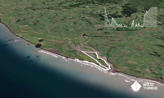
Starting at the toilets run East down SH3 past the Dairy on the right and turn left onto York street just before you reach Patea river. York street ends in the start of the Patea river walkway. This is a partly single track/4WDish track along the river and is partly sandy and grass.

There are information signs about the ruins of a cheese factory, meat works, woolsheds, Marae, and Redoubts along the pathway. Follow this pathway for about 1.5km until you reach the mouth of the river where you come to Mana Bay.

Carry on down onto the beach to the right and follow the beach as far as you can go. At the start of the beach near the river mouth is the wreck of the SS Waitangi that was wreaked on 5th May 2023 after damage sustained while crossing the river bar. She is sometimes covered by sand and sometimes visible.

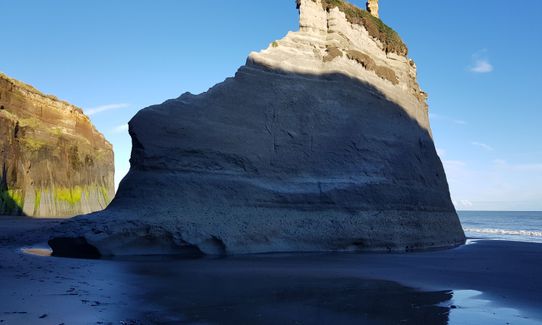
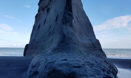
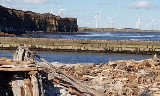
At low tide the run along the hard sand beach will be about 2km from Mana Bay. Return along the beach with great views of the Waipipi Windfarm.

When you get back to Mana bay turn left and climb the sand dune tracks to the top of the hill for panoramic views of the windfarm, river, and coastline. Continue North along the hills until you have to exit onto Egmont Street.

This goes alongside the Patea Golf course and is a pleasant 2km road run back up to the toilets.
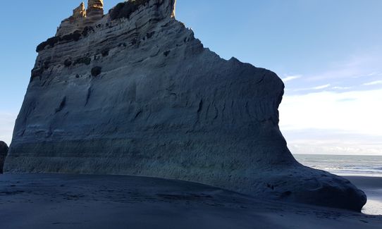
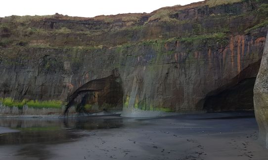
Abandon woolsheds, docks, shipwreck. Wind farm.

If you know of any public toilets near the trail start or on the route, please login and then let us know so we can update this section.

Plenty of parking on the streets around the public toilets.

98 km

80 minutes

Yes

No

Easy.

After left turn up hills on Mana Bay - just follow the 4WD track to the left until the final car park lookout point. Here is your exit right to Egmont Street.

Patchy.

Windproof jacket, Whistle, First aid kit, Extra food for emergencies, Cellphone, Map

Water available at Mana Bay toilets and barbecue area.

Wind on beach can be troublesome. Best in good weather unless you love windswept beaches.

Go at low tide for best experience

Cafe Fika
56 Egmont Street Patea
Awesome

You and Mana Bay- Patea river and beach

As a VIP member you can record private notes for this trail, see all of your times and more.

Register Now

Already have an account? Login now

Trail Reviews

Be the first to submit a review for Mana Bay- Patea river and beach!

Login to submit a review

Trail Running Community

Find people who are interested in or have completed this trail run.

You must register or login to view this feature.

Register Now

Other trails nearby
Up The Stony

Up The Stony

Length: 18.0km

Level: Intermediate

Waiwhakaiho Track

Waiwhakaiho Track

Length: 11.0km

Level: Beginner - Intermediate

NP Urban Trail Run

NP Urban Trail Run

Length: 11.0km

Level: Beginner

Ninja Stealth Urban Trail

Ninja Stealth Urban Trail

Length: 19.8km

Level: Beginner

Find more trails and peaks nearby