Last Updated: 23rd Apr 2024
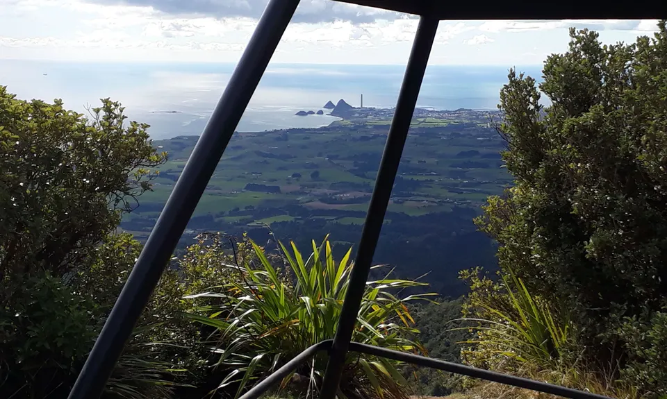
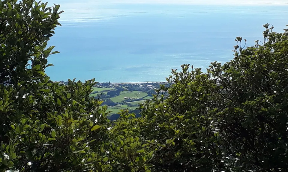
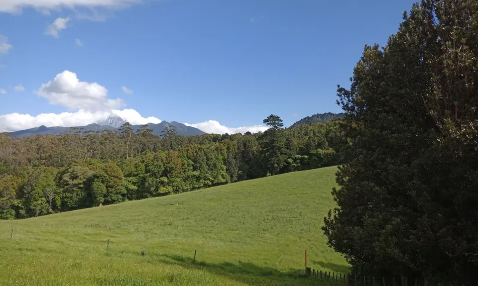
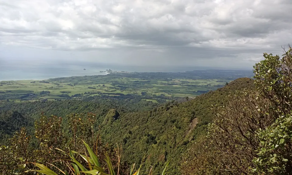
Davies Track
Last Updated: 23rd Apr 2024
Open
Grunt Factor: 17 ?
Gnarl Factor: 36 ?
9.0km
580m
580m
683m


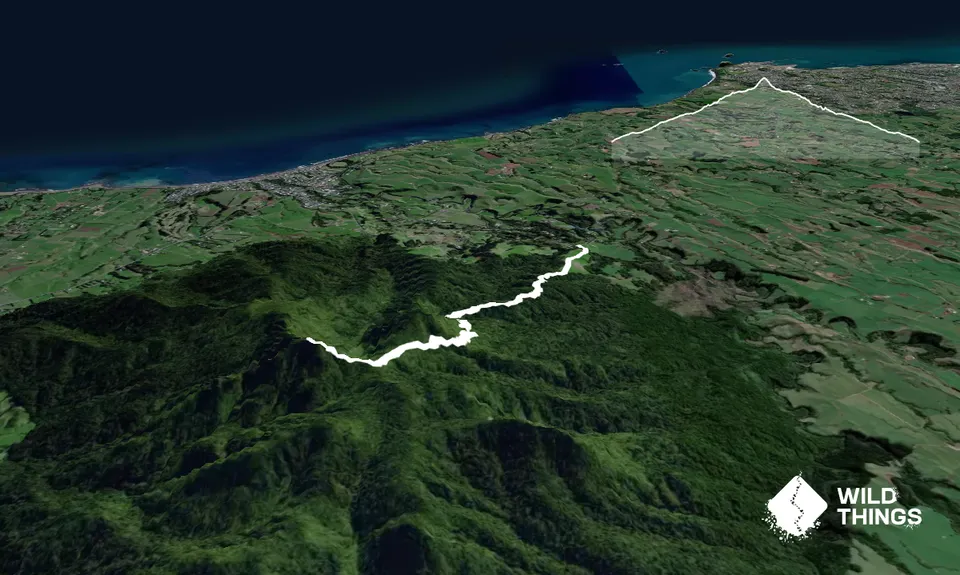
Trail Map
This Topo layer only covers NSW/ACT.
Switch to another map layer when viewing outside this area.
Switch to another map layer when viewing outside this area.


