Last Updated: 29th Dec 2025
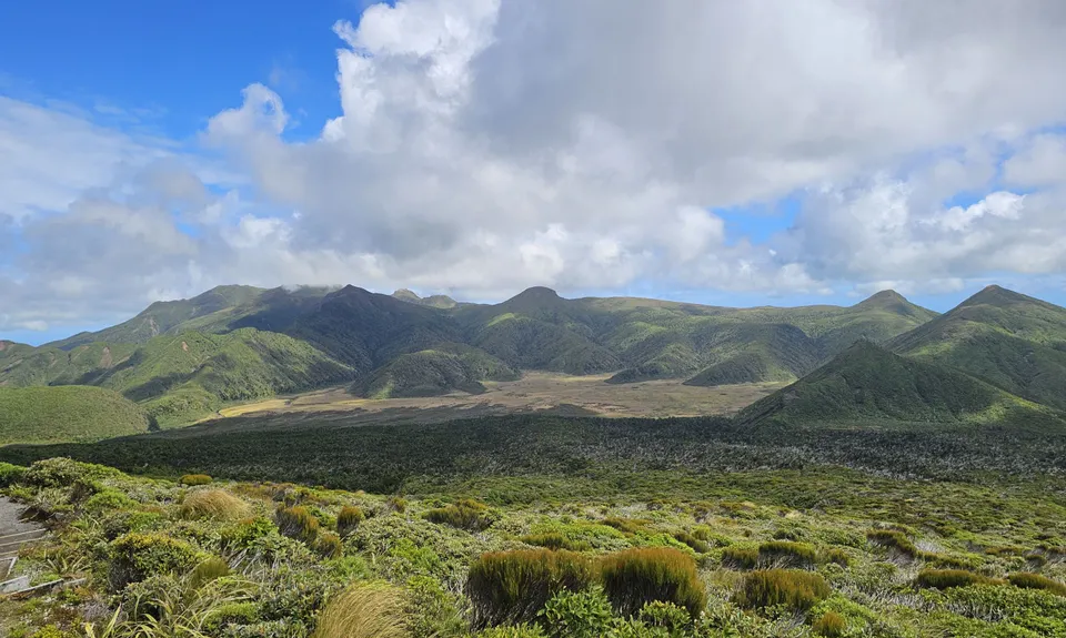
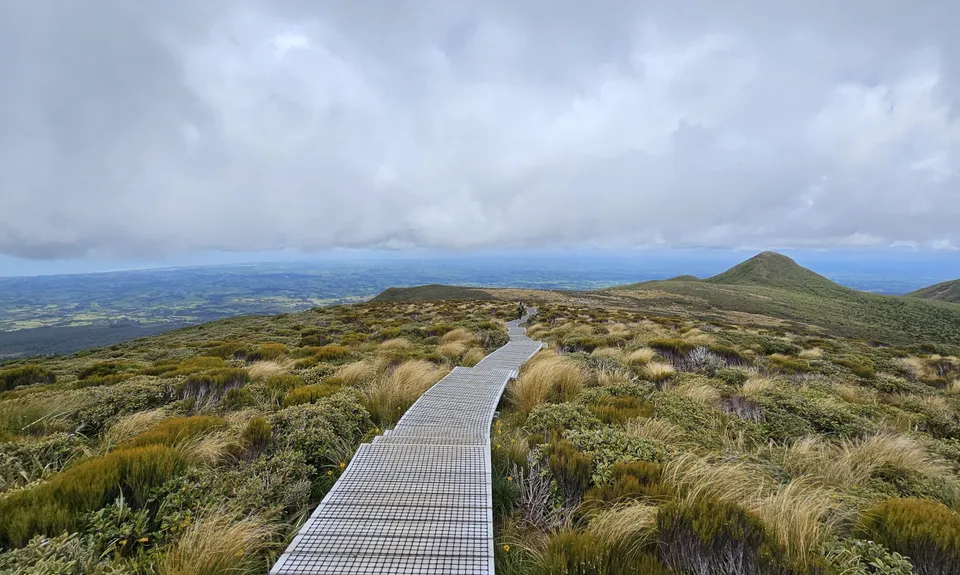
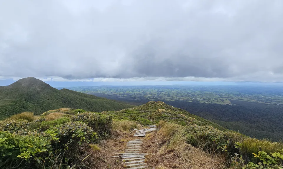
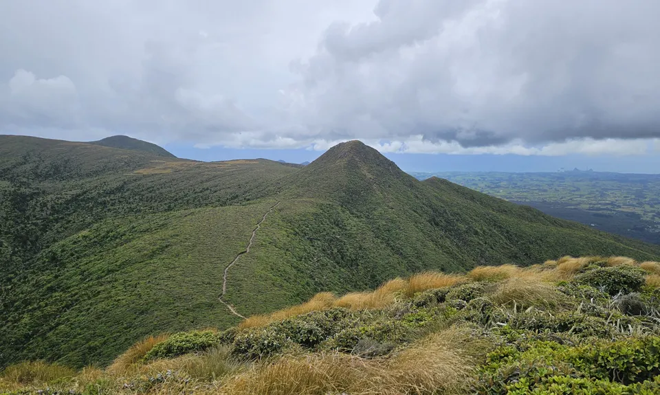
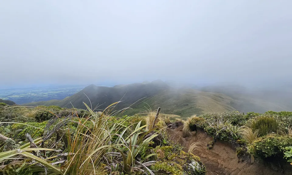
Pouakai Circuit
Last Updated: 29th Dec 2025
Open
Grunt Factor: 46 ?
Gnarl Factor: 60 ?
24.0km
1400m
1400m
1450m


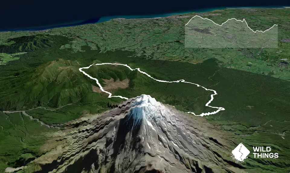
Trail Map
This Topo layer only covers NSW/ACT.
Switch to another map layer when viewing outside this area.
Switch to another map layer when viewing outside this area.