Okataina...Eastern & WesternBeginner - Intermediate
Submitted by Mike Tennent
Front country - easily accessible
Point to Point (one way)
Undulating, some big hills
Native bushPlantation/exotic forestLakesideOpen tussock/grasslands
Beginner - Intermediate
7:00 (Slow)
5:30 (Moderate)
4:00 (Fast)
-6.7%
+7.3%
The Eastern kataina Walkway is closed due to a large slip. It is dangerous due to the fractured and unstable slip face high above the walkway. There is an extreme probability of further rock falls. Last reviewed on 24 August 2021. More info here.
Fastest Known Times (FKTs)
Please set your gender to see your position on the FKT leaderboards.
Men
Women
Filter FKTs
The more , the harder the FKT will be to beat. Learn about Fastest Known Times.
Description
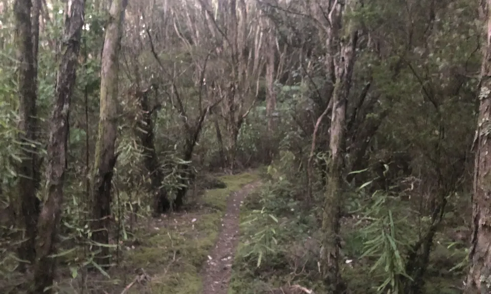
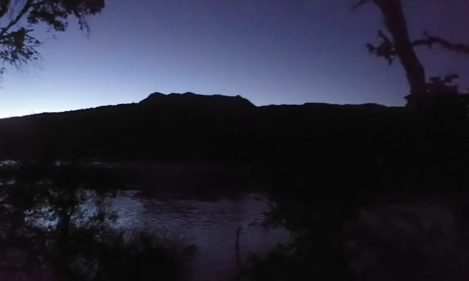
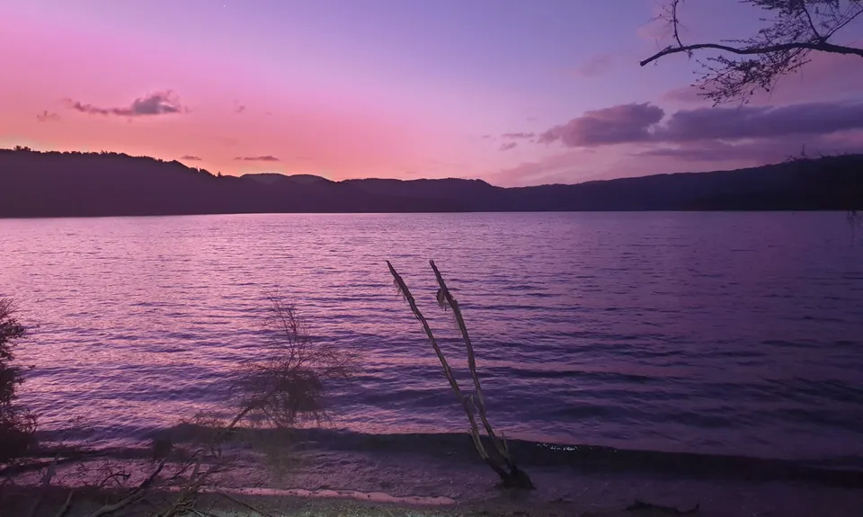
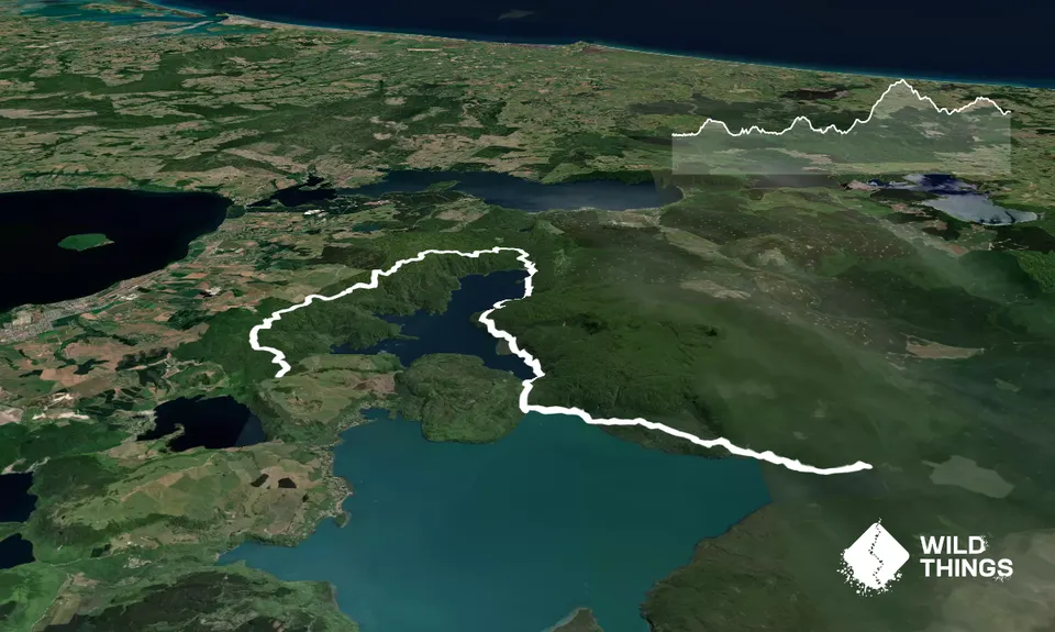
I have run these trails many times before, however I have only run them both together once in the Tarawera Ultra back in 2012... and that was the other direction. This time I was trail-checking for the 2019 Tarawera Ultra 102km and 160km and got dropped off by boat at 5:45am... not to be recommended... Eastern Okataina (EOW) is a very technical trail almost completely and in the dark - even with a pretty good light - it was tricky and easy to lose the trail. However in daytime you shouldn't have too much trouble - although occasionally you will have to stop and look for the next orange triangle. It is about 8km from the jetty at the Outlet to Humphries Bay - a famous TUM aid station, at the end of the bay, watch out for the EOW sign pointing right and away you go.
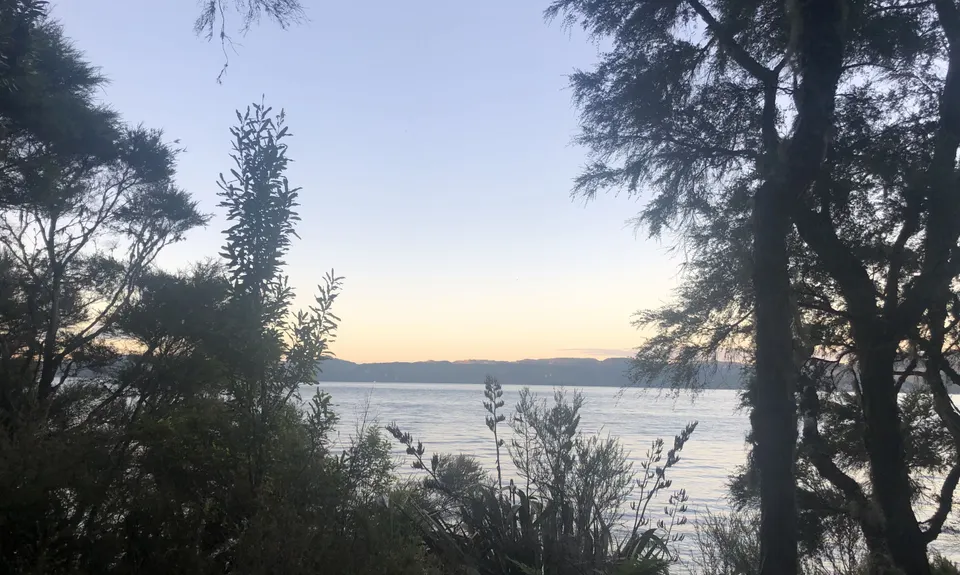
From there the trail is very easy to follow.... there are a couple of small trails off to the left between here at Okataina... ignore them, or if you have time then explore... they only take you to the lake. Once you reach the carpark at Okataina you should be at close to 18km. Look to the right for a pathway that leads up to the toilets, take the path. Stop at the loo if you need but carry on the trail past it to the left - this will eventually spit you out on the road.
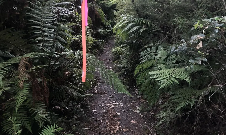
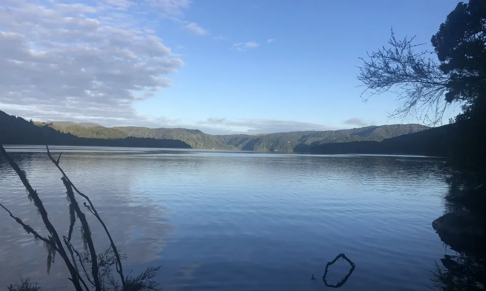
Look over the road and you will see another trail and DOC sign. Head over and start climbing, following this trail for about 2km until you come to a sign pointing you to the Education Centre. Follow that trail for about 700m, keeping an eye out for a trail to the left take that trail and you are on Western Okataina Walkway (WOW). Then you really start climbing, so take your time and start the trudge. In the next 4km you will climb about 350m, often in short quite steep bursts. You will come to a sign with an option to the Trig. Again, if you wish, take the side route, there are excellent views over Lake Rotorua and Lake Rotoiti. That side trip will add about 4km. Otherwise follow WOW predominantly down from here through to Millar road, enjoy all sorts of trail and countryside and know when you have finished you have done well.
Trail Community
Features of interest
Splendid views of historic Mount Tarawera
Make Up of Run
Untracked / Route only: 0%
Technical Single Track: 50%
Moderate Single Track: 25%
Easy Single Track: 25%
Farm Road / 4WD Track: 0%
Gravel Road: 0%
Sealed Road: 0%
Route Data
Reviews:
Overlapping Runs
The following trails overlap with this run to some degree. You may wish to combine them but please note that to qualify for FKTs on these runs you should record a separate Strava activity for each

Valley of the Killer Zombie Wallabies
Length: 25.50km

Eastern Okataina Walkway to Tarawera Falls
Length: 23.00km
Photos:
Your Trail Wishlist
All the runs that are on your To Do list (no limit).
Add to wishlist view wishlistWild Explorers
I did it!-
Access
There are two ways to get to this start... one is get someone to drop you in at the Outlet Camping Ground (you will need to buy a forest pass - usually $5 per person - from the info centre in Kawerau).
Or you can get a boat ride from The Landing at the western end of Lake Tarawera. There is a water taxi service if you haven't a friend with a boat. My suggestion is if there are more than just the one runner, you leave a car at Millar Road and another at The Landing.Plenty of parking at The Landing. Not so much at the Millar Road end although room for 2 or 3 and away from TUM it is usually quiet.
83 km
93 minutes
No
No
-
Staying Safe
Moderate.
On Eastern Okataina Walkway, you may 'lose' the trail occasionally. take the time to look around and look for the orange triangles and you should be ok.
Very patchy.
Waterproof leggings, Thermal leggings, Long-sleeved thermal top, Seam-sealed waterproof jacket, Gloves, Beanie/thermal headwear, Personal Locator Beacon (PLB), Whistle, First aid kit, Extra food for emergencies, Survival bag, Cellphone, Map, Headtorch and spare batteries.
While next to the lakes there is plenty... not much on WOW although a couple of streamlets you could get to if needed.
Can be a bit muddy and slippery in places when wet, although the area is volcanic, so you should be fine with a bit of care.
Tree roots, rocks, steep banks, uneven footing.
-
Sponsor this trail
See other runs nearby:
Tokorangi Pa Track
Tarawera Trail Route Recce
Valley of the Killer Zombie Wallabies
Pohaturoa Track
Blue and Green Lake Loops
Whakarewarea Circuit - the Black Track
Single Rainbow
Yellow Plus Cardiac
Fat Man's Run
The Other Okataina Trails
3 of the Best
RTRC Club Track Loop
A Roundabout Way to the Lost Tank
Whirinaki Long Loop
Waimangu
Double Rainbow
Lake Okareka Walkway
Mount Ngongotaha
Whakarewarewa Rainbow
Orange Kakapiko
As You Do Loop
Not Your Usual Rangitoto
Tennent's and Mistletoe Loop
RTRC Natives Loop