Last Updated: 2nd Jun 2026
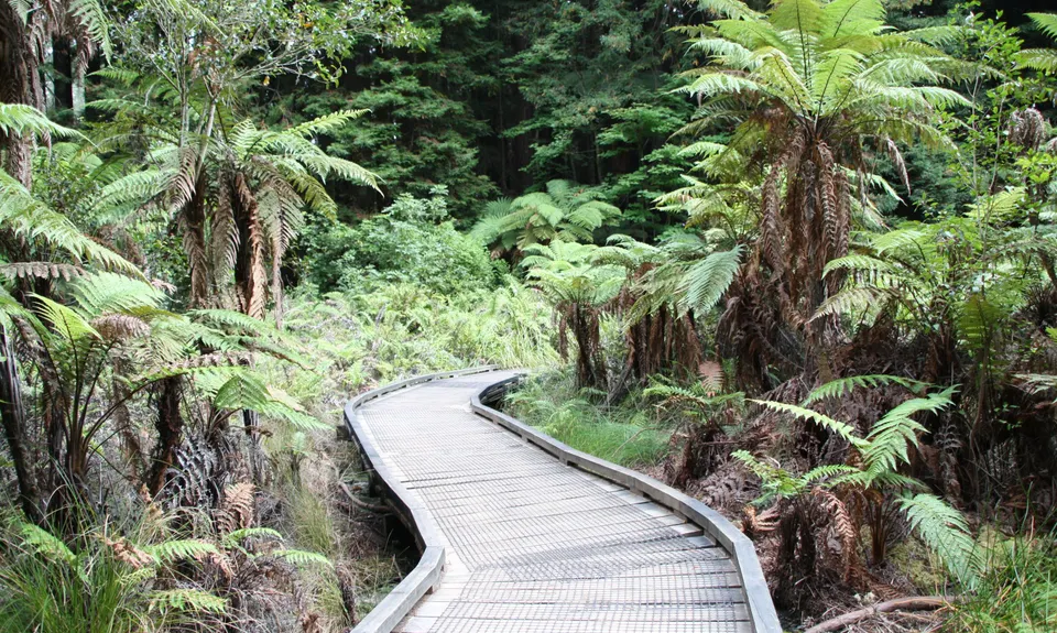
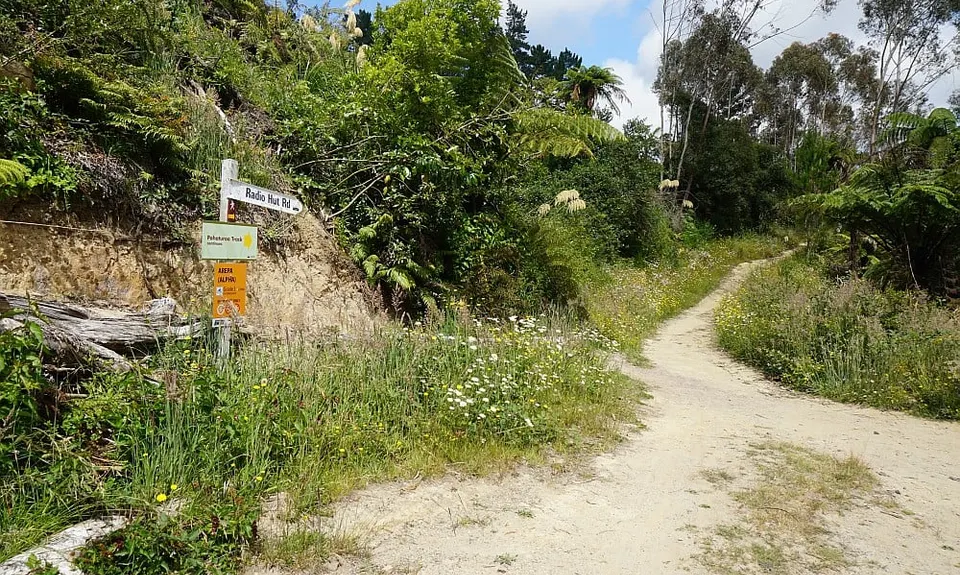
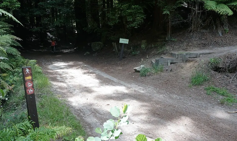
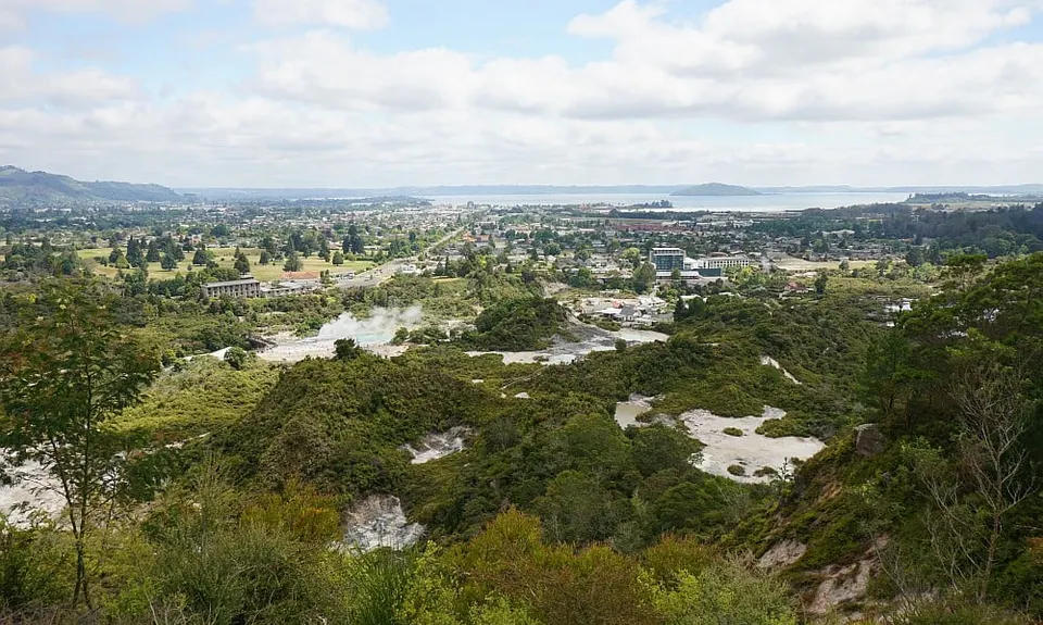
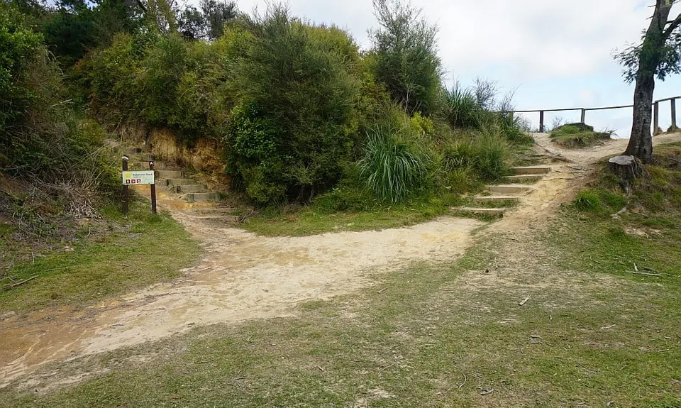
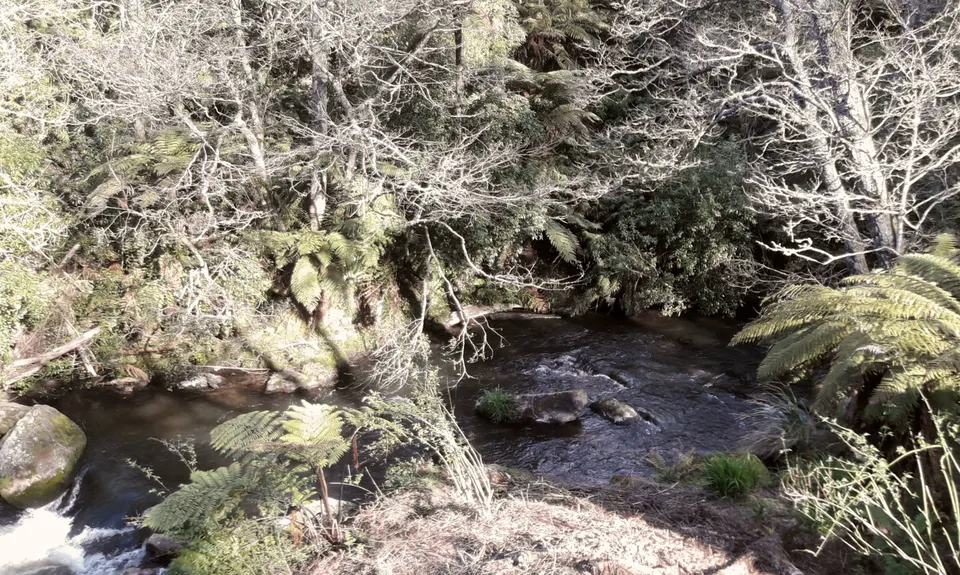
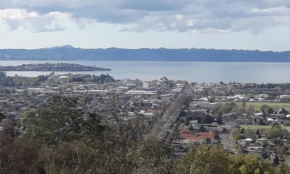
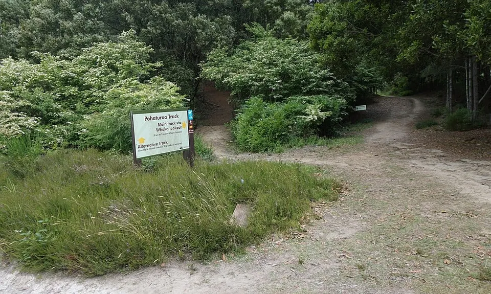
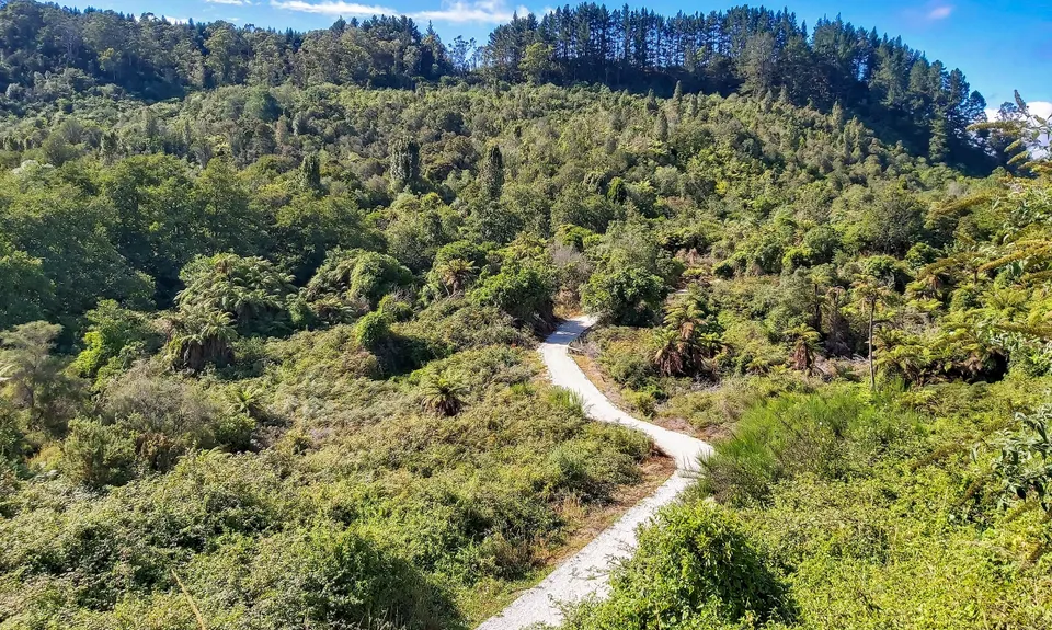
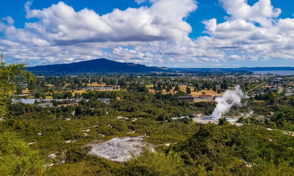
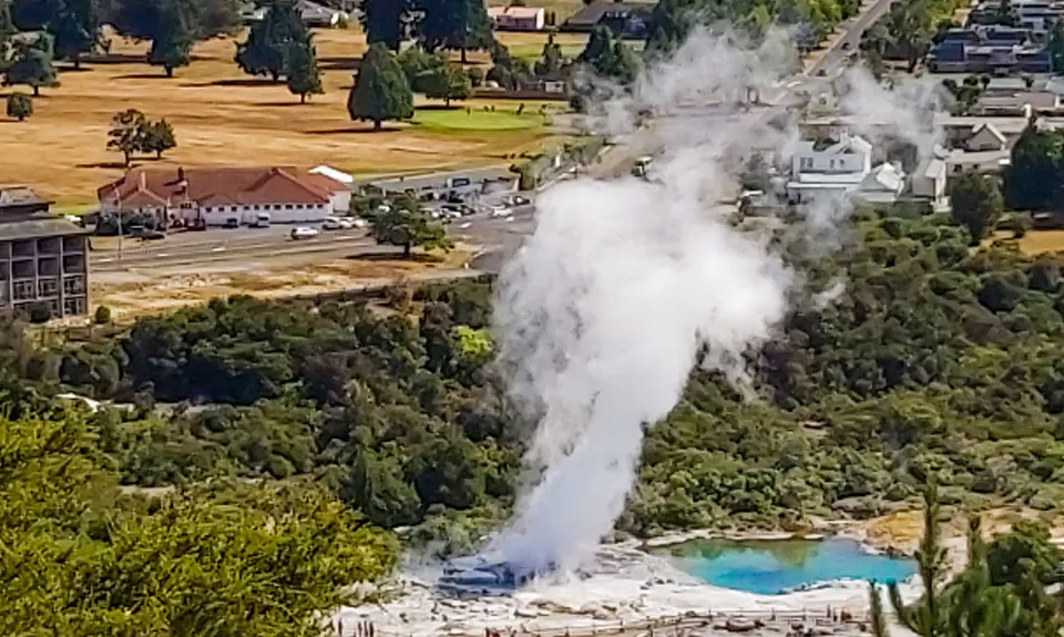
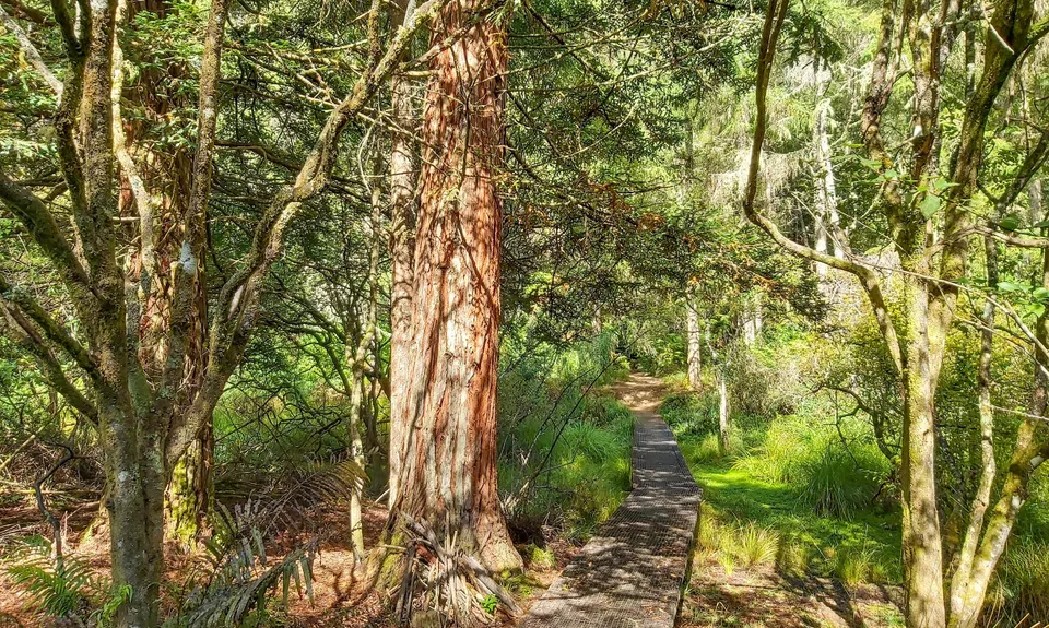
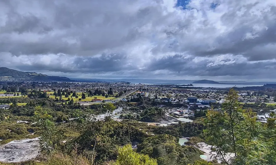
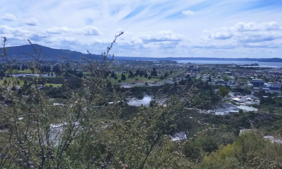
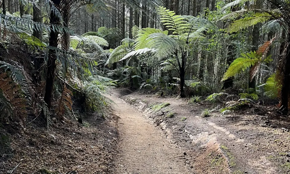
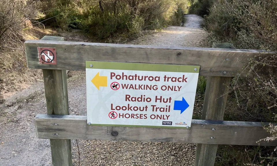
Pohaturoa Track
Redwoods Yellow Track
Last Updated: 2nd Jun 2026
Open
Grunt Factor: 10 ?
Gnarl Factor: 21 ?
8.1km
250m
255m
427m
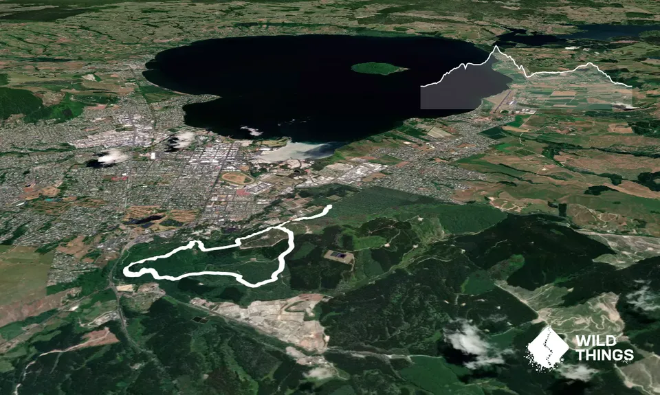
Trail Map
This Topo layer only covers NSW/ACT.
Switch to another map layer when viewing outside this area.
Switch to another map layer when viewing outside this area.