Last Updated: 21st Sep 2023

Beginner

Save Trail Save

I've done it Done

3 of the Best

Rotorua, Bay of Plenty

Submitted by Mike Tennent

Last Updated: 21st Sep 2023

Beginner

Save Trail Save

I've done it Done

Grunt Factor: 11 ?

Gnarl Factor: 13 ?

10.5km

230m

230m

462m


Login as a VIP to see driving directions, distance and time.

Trail Map

Type of Run

Urban fringe

Loop

Undulating, small hills only

Dog Friendly

Native bush

Plantation/exotic forest

Riverside

Lakeside

Run Makeup

20%
50%
20%
10%

Gravel Road

Farm Road / 4WD Track

Easy Single Track

Technical Single Track

Average Uphill Gradient: +3.5%

Average Downhill Gradient: -4.9%

Trailhead

Login as a VIP to see the trailhead information.

Estimated Times to Run

1:30

Slow

1:15

Moderate

0:50

Fast

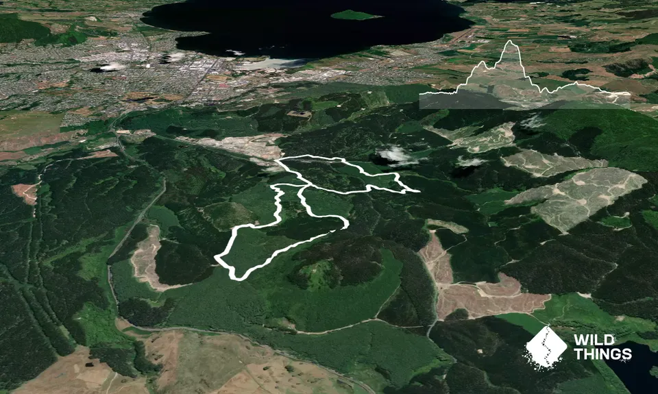
From the carpark head into the driveway for Toi Ohomai... this is Poplar Ave, stay to the left and after about 100m the seal will run out and you will be on gravel 4wd track, keep going straight.

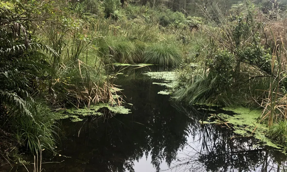
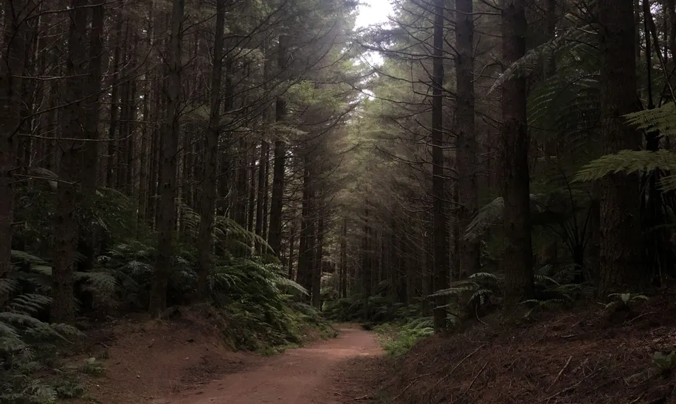
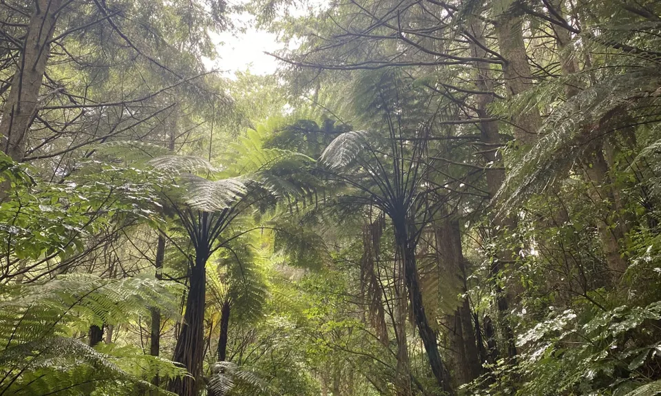
The track rises slightly and you will come to a forestry barrier gate, go around or under this and carry on Poplar Ave until you reach an intersection. Take the very right branch and carry on. A wee way down here at about 1.2km on your GPS you will come slightly out of the trees and hear running water, look to your left for a single trail entry. Head in here, it looks innocuous from the road but once in you will see it is well formed and new.

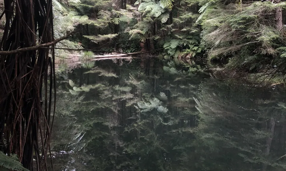
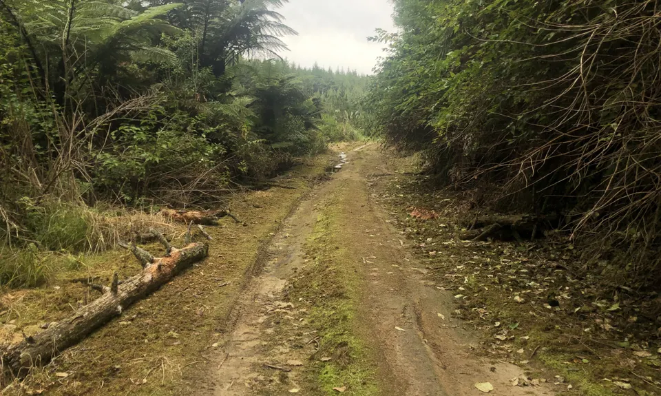
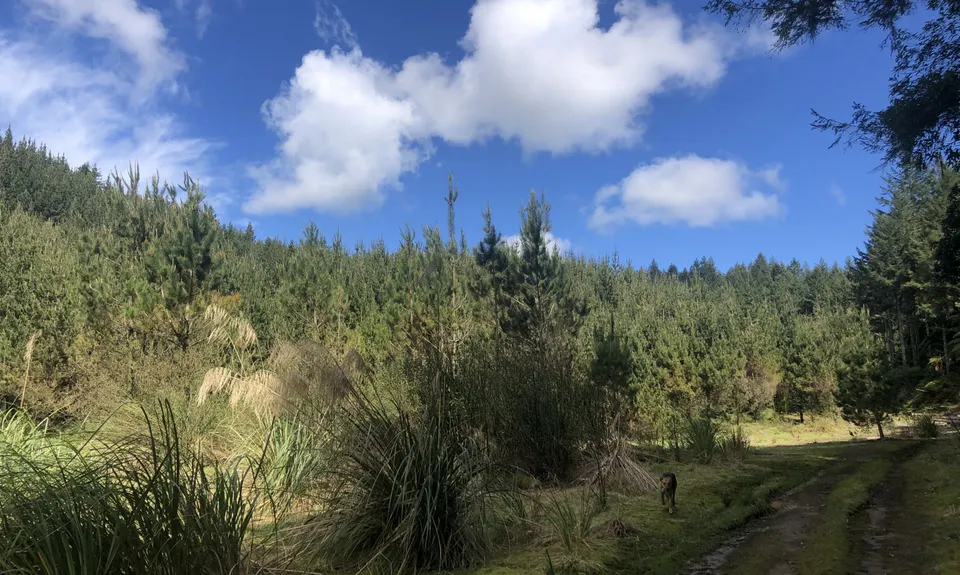
Follow the main trail here, there are a couple of offshoots but they all go the same way...although one takes you onto a small spit. At about 1.7km you will come out onto another 4wd road, turn left.... and follow this for about 1km until you climb a small hill and reach the next intersection. Here you turn left as well. Follow this road for about 1.2km. There are a few roads off to the left, ignore them all and stay on the one you are on.

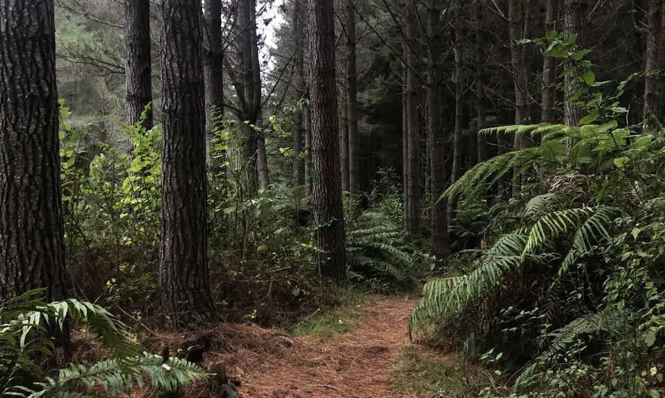
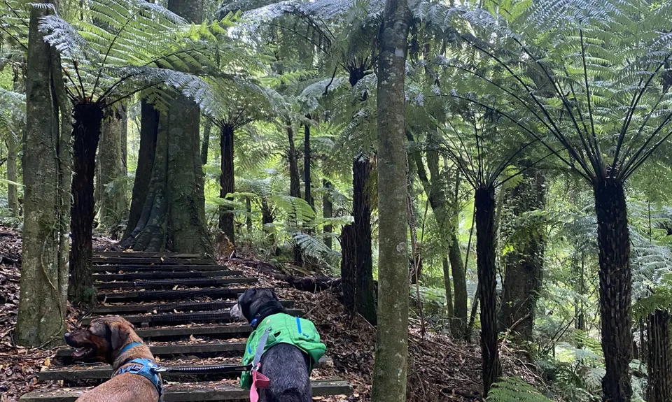
At that point (around the 3.8km mark on the GPS) you should see a post with a Black arrow and a walking man... the arrow points left and that's where you are going. This is the oldest of the 3 lovely single trails and is referred to locally as 'The Natives'... right from the start of this trail is a Strava Segment if you are feeling strong.... only 730m and 56m vert... give it a go! This trail is very straightforward and you just follow it right through and onto the 4wd forestry track on the other side, then follow that track and eventually you will reach that first intersection.

If you have had enough, then go across the intersection and back out the way we came in earlier... your run will be about 7km but you don't get to tick this off as done! Otherwise veer right and follow the black arrow pole onto a 4wd track to the sealed road. At the road, cross straight over onto a wee single trail and turn left into there.... follow that for about 100m and turn right onto the forestry road the way the black arrow indicates until another black arrow points left and follow that trail for a couple of hundred metres. At the next intersection turn LEFT (the black arrow points right but we are definitely going left).

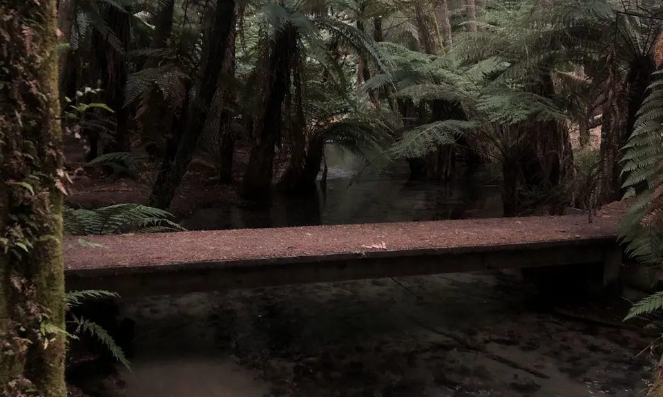
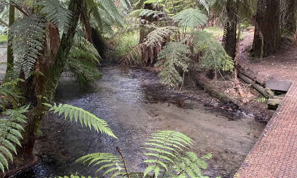
Follow this road to the next major intersection, turn left again to the next intersection where you should see several signs including a Map Board over the road... head straight over this intersection... ahead you should see a sign for Ball & Chain Trail. To the right of this is Puarenga Stream Trail... head down there onto about 1km of magic trail... we are near the end now so let yourself flow... there are several crossings but there are also trails on both sides so you can't go too far wrong... I stayed left for the first 150m or so and crossed the bridge to the right where the "Puarenga Trail Continues" sign is. At the end of this trail run through toward the Mill ahead of you and look across to your left and you should see your vehicle.

A lovely small lake and probably the most beautiful stream run in the area.

If you know of any public toilets near the trail start or on the route, please login and then let us know so we can update this section.

Parking on the Waipa Bypass Road, do not go into Toi Ohomai to park, even if it is open.

8 km

14 minutes

Yes

No

Moderate.

Take the time to read this and maybe take some notes or download the pdf to your phone. There is pretty good phone coverage show you should be able to watch yourself on Strava while checking the trail map on Wild Things.

Generally good.

Long-sleeved thermal top, Windproof jacket, Gloves, Beanie/thermal headwear, Whistle, First aid kit, Extra food for emergencies, Cellphone, Map

Nothing drinkable. The forest has sprinklers recycling dirty water and so the water from the lake or streams should not be drunk.

Pretty great all year round

Fat Dog Cafe
Arawa Street in the City
https://fatdogcafe.co.nz/
Consistently good food.

Trail Legend

JM

Jasmine MNijel

has completed 3 of the Best once in the last year.

Learn about Trail Legends.

You and 3 of the Best

As a VIP member you can record private notes for this trail, see all of your times and more.

Register Now

Already have an account? Login now

Trail Reviews

Beautiful single track. Easy to find, especially if you use the GPX file

Lauren Mai Anderson

September 18, 2021

Took a few wrong turns but got there in the end - managed to do 12.5k. Loved the black trail and Puarenga but some of the forestry tracks were difficult to navigate. I used a combo of map, handwritten instructions plus used Strava as a compass. Would be much easier next time.

Richele McKenzie

January 2, 2021

Was looking forward to crossing this run off my list yesterday, however at the 1.2km mark we failed to find the left turn...Ended up back tracking (several times) after re reading the description (several more times) and still had no luck. Decided to make our own 10km run up and explored the area anyway. ... Only to look at the map today to find I think either the 'very left branch' or the next left option in the second paragraph description should perhaps read, RIGHT not left?So zero wild explorer points for me!

Hayley Oulton

August 11, 2019

Login to submit a review

Trail Running Community

Find people who are interested in or have completed this trail run.

You must register or login to view this feature.

Register Now

Overlapping Trails

These overlap with this trail to some degree. You may wish to combine them but please note that to qualify for FKTs on these runs you should record a separate activity for each.

Whakarewarea Circuit - the Black Track

Whakarewarea Circuit - the Black Track

Length: 32.6km

Level: Beginner - Intermediate

Whakarewarewa Rainbow

Whakarewarewa Rainbow

Length: 61.0km

Level: Beginner - Intermediate

Other trails nearby
Single Rainbow

Single Rainbow

Length: 6.7km

Level: Beginner

Blue and Green Lake Loops

Blue and Green Lake Loops

Length: 14.0km

Level: Beginner - Intermediate

Orange Kakapiko

Orange Kakapiko

Length: 9.2km

Level: Beginner

The Tarawera Trail

The Tarawera Trail

Length: 29.8km

Level: Beginner - Intermediate

Find more trails and peaks nearby