Last Updated: 23rd Jul 2024
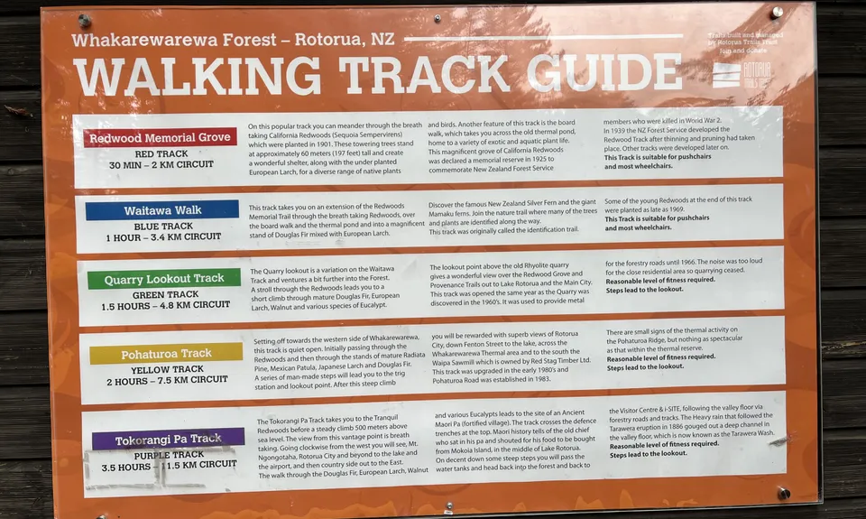
Tokorangi Pa Track
Tokorangi Pa Track, Tickler Link, Pipeline Road, Tokorangi Pa, The Wash Road, Katore Road
Last Updated: 23rd Jul 2024
Open
Grunt Factor: 14 ?
Gnarl Factor: 33 ?
11.4km
330m
330m
525m


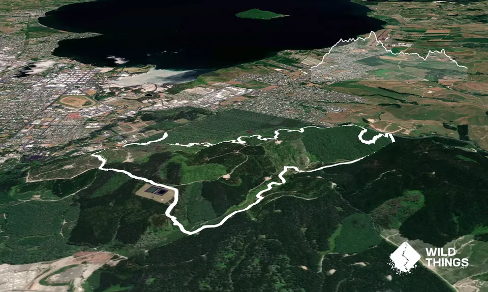
Trail Map
This Topo layer only covers NSW/ACT.
Switch to another map layer when viewing outside this area.
Switch to another map layer when viewing outside this area.