Last Updated: 10th Jan 2024
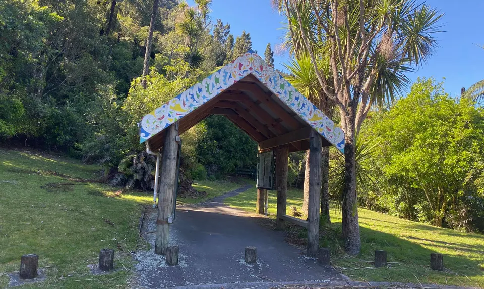
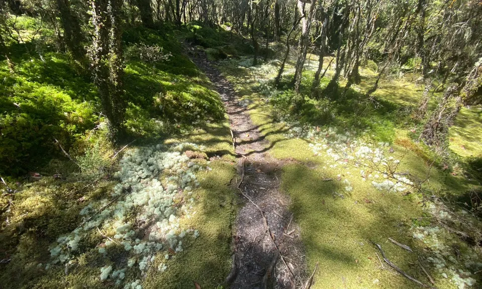
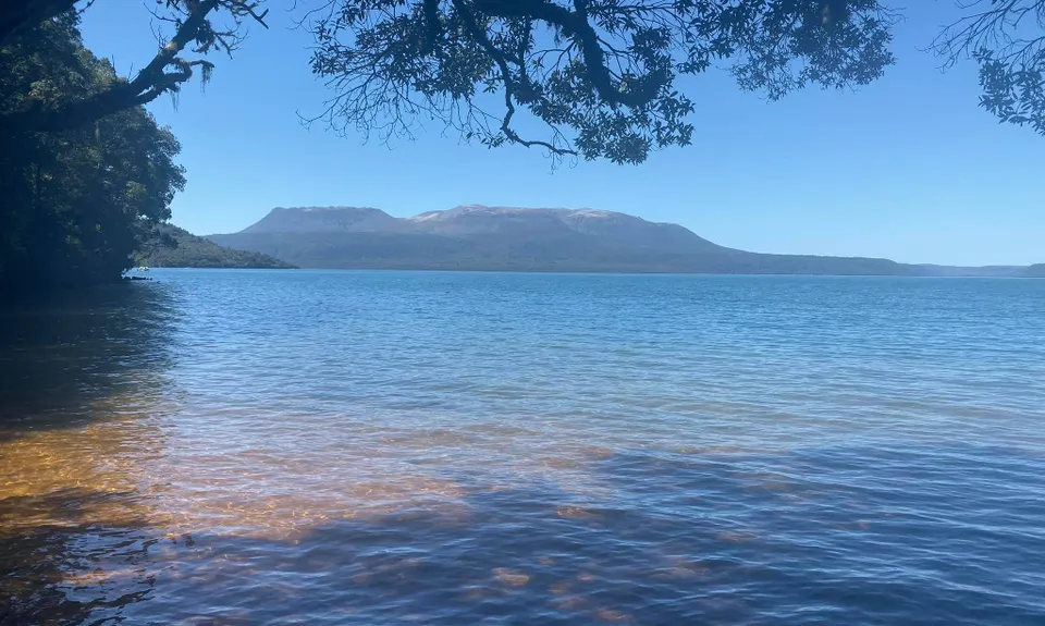
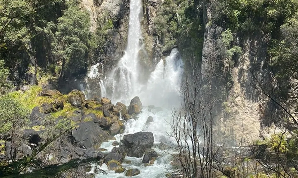
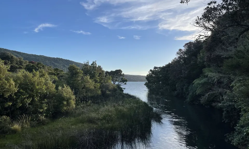
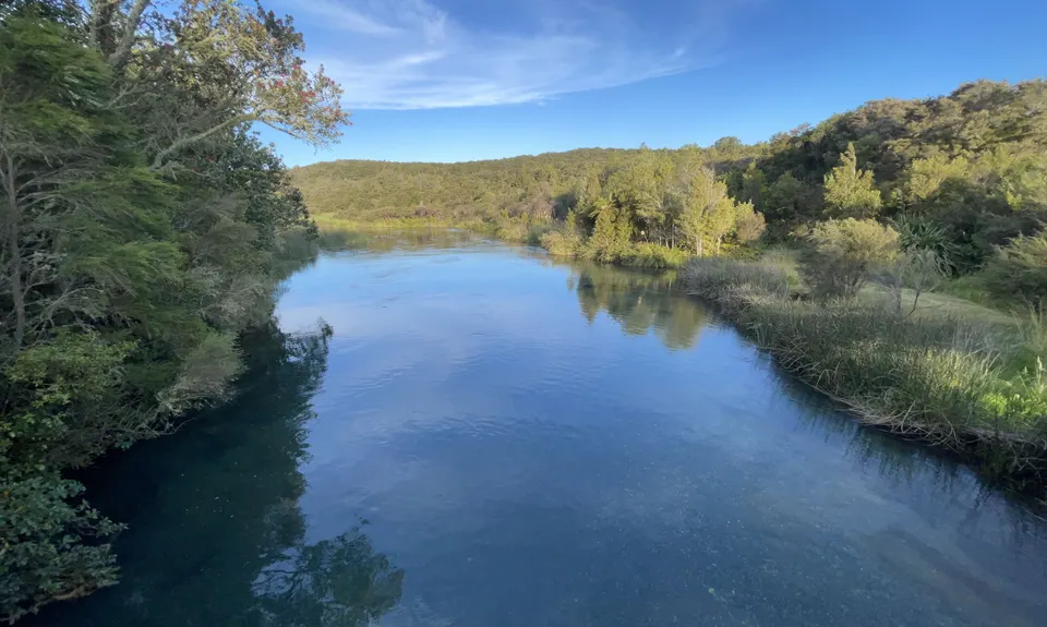
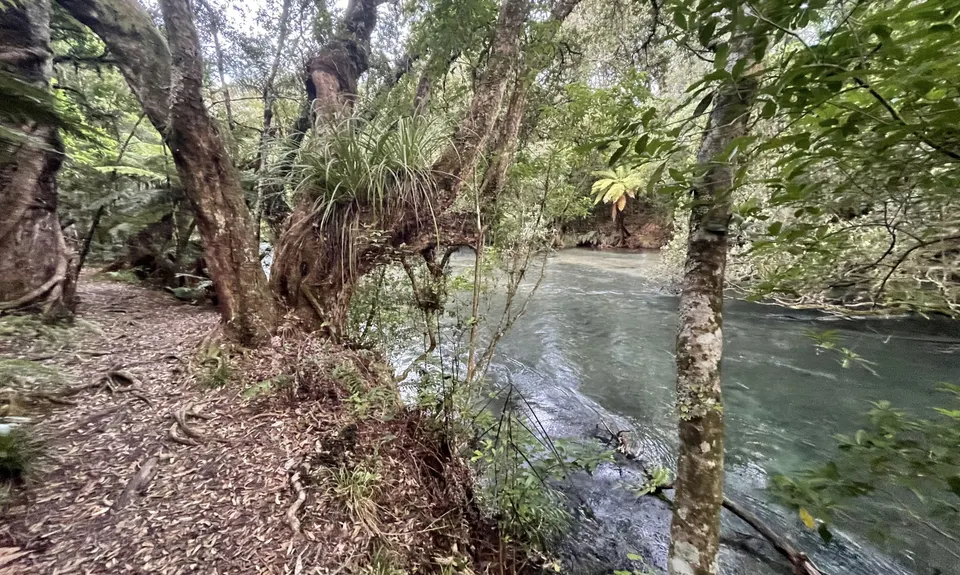
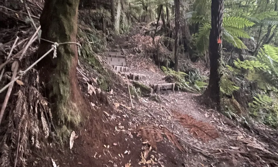
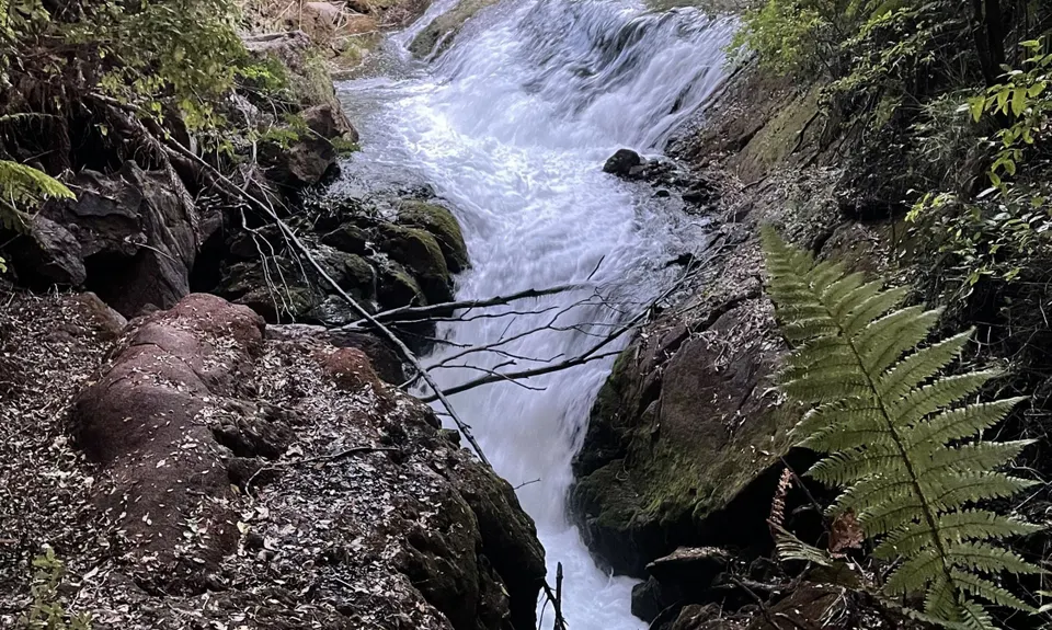
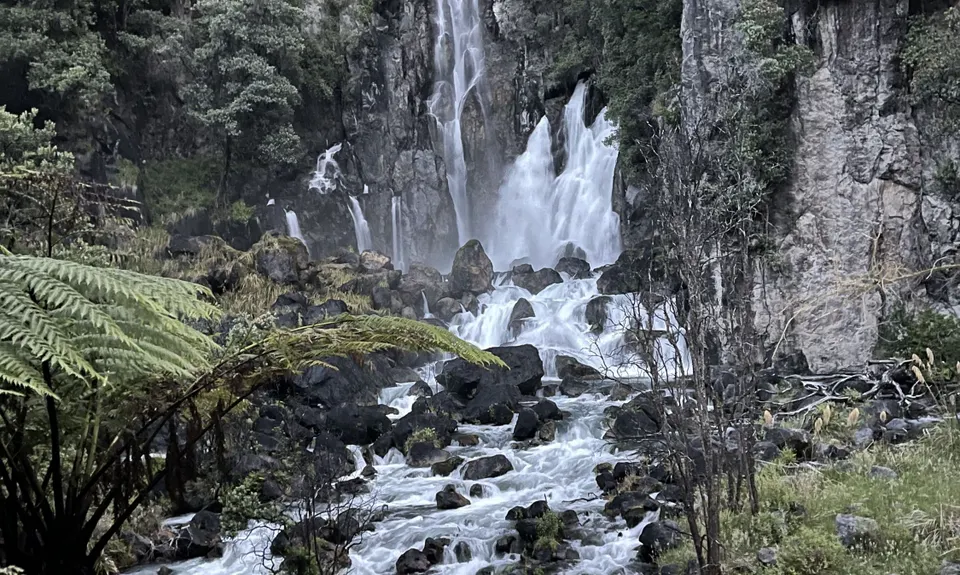
Eastern Okataina Walkway to Tarawera Falls
Last Updated: 10th Jan 2024
Closed More info
The Eastern Ōkataina Walkway is closed due to a large unstable slip. For more info and updates, check out the DoC website, here.
Please notify us if this has changed.
Grunt Factor: 31 ?
Gnarl Factor: 47 ?
23.0km
610m
750m
431m
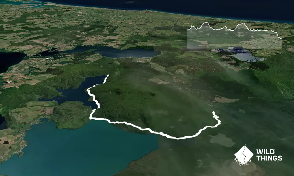
Trail Map
This Topo layer only covers NSW/ACT.
Switch to another map layer when viewing outside this area.
Switch to another map layer when viewing outside this area.


