Last Updated: 13th Dec 2025
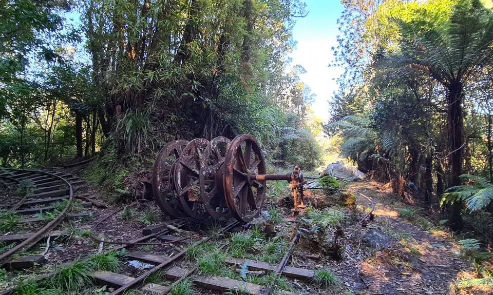
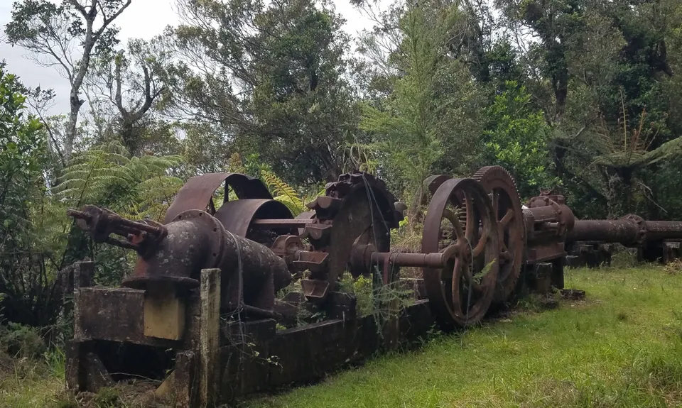
Pukekōhatu Pack Ponies
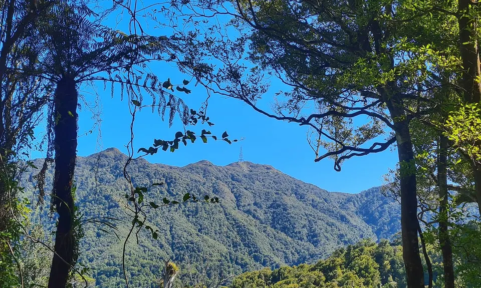
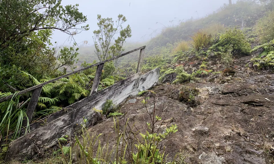
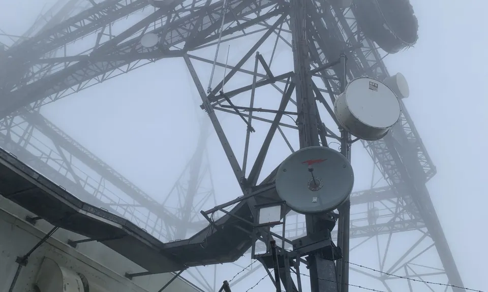
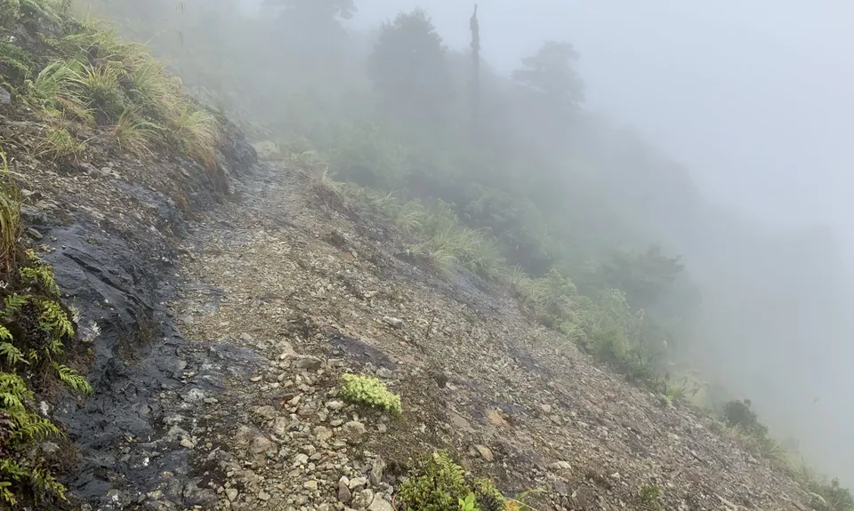
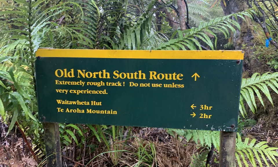
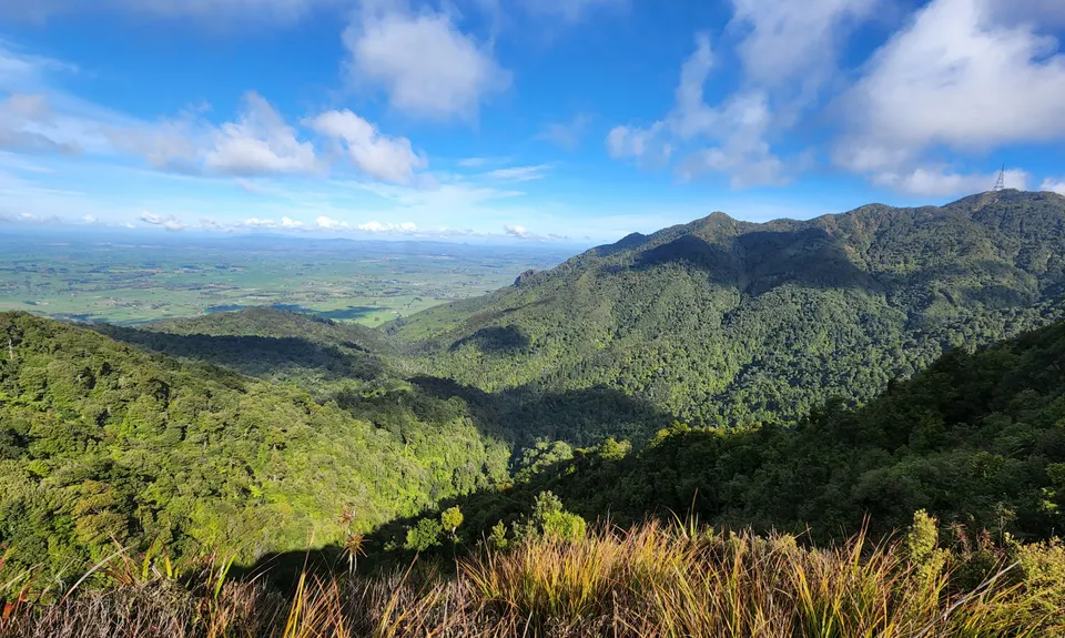
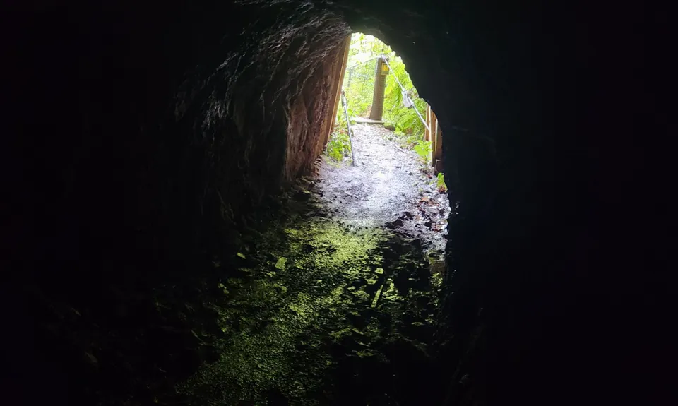
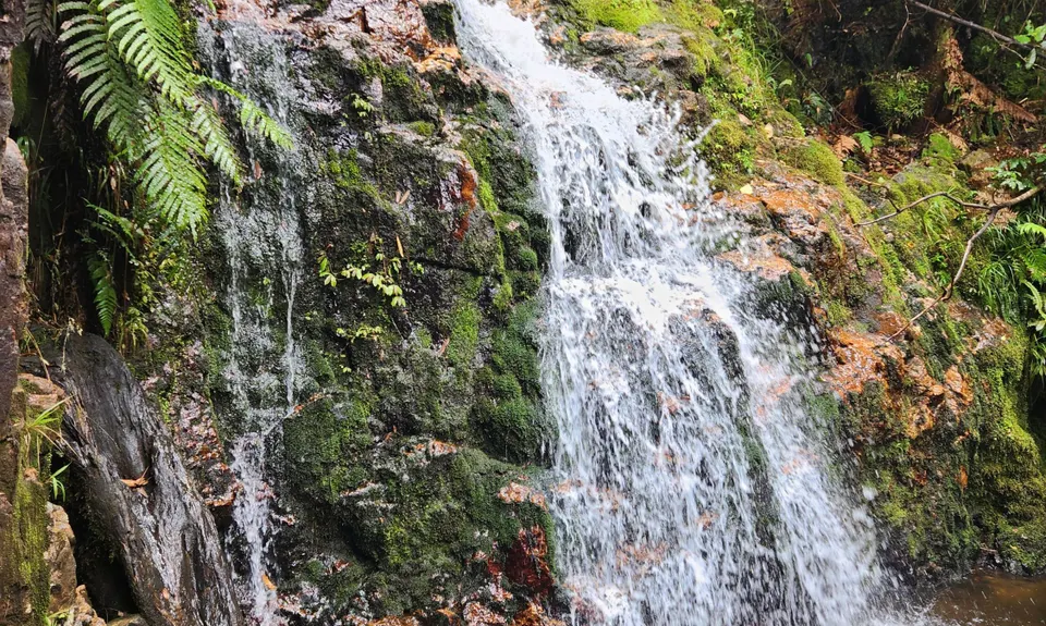
Pylon Peak Loop
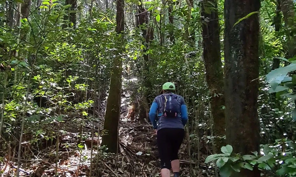
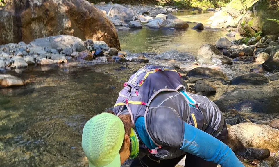
Waiorongomai Valley
Last Updated: 13th Dec 2025
Open
Grunt Factor: 37 ?
Gnarl Factor: 89 ?
15.0km
958m
915m
799m
.jpg)
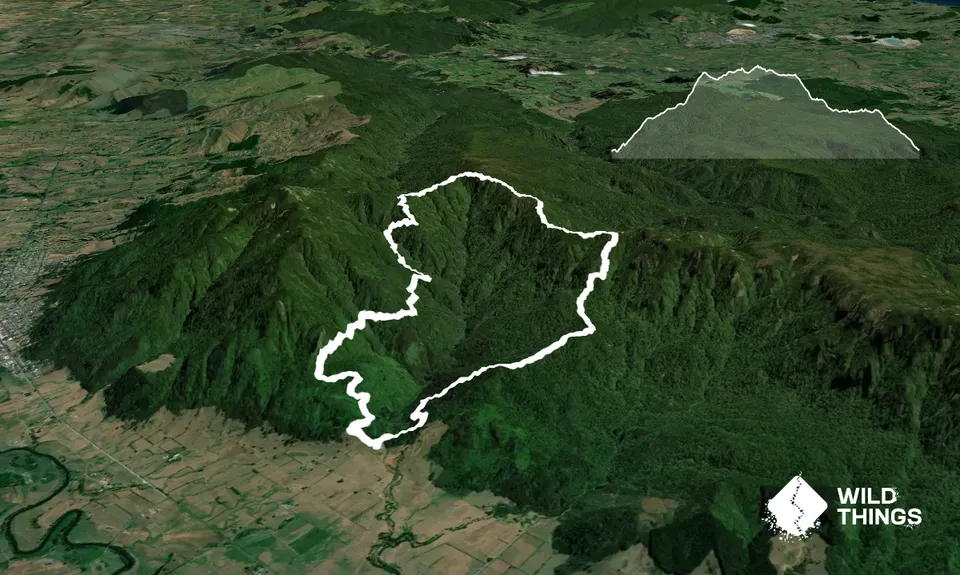
Trail Map
This Topo layer only covers NSW/ACT.
Switch to another map layer when viewing outside this area.
Switch to another map layer when viewing outside this area.