Pukemokemoke LoopBeginner
Submitted by Anna O'Brien
Beginner
0:50 (Slow)
0:40 (Moderate)
0:25 (Fast)
-13.2%
+12.8%
Fastest Known Times (FKTs)
Please set your gender to see your position on the FKT leaderboards.
The more , the harder the FKT will be to beat. Learn about Fastest Known Times.
Description
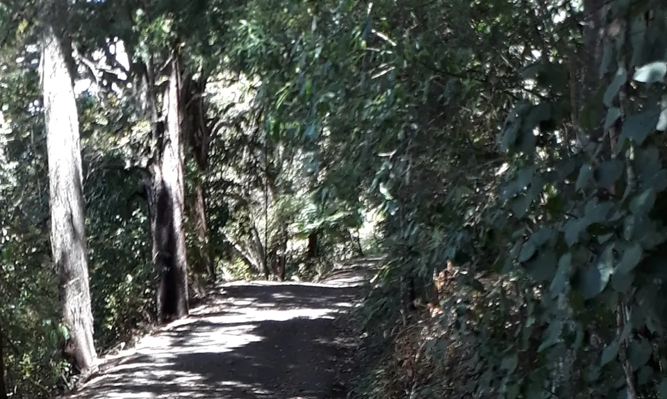
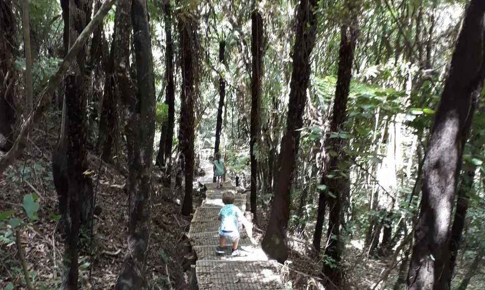
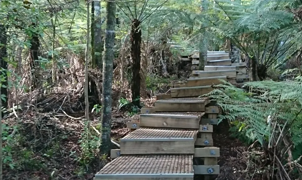
From the carpark, head across the bridge, taking care to clean shoes carefully at the Kauri dieback station. This is a loop, so once across the bridge you can choose to turn left, then take the first track on the right, following orange arrows to run up the boardwalk through beautiful Kauri forest and up past the sign labelling Kawakawa grove to the summit.
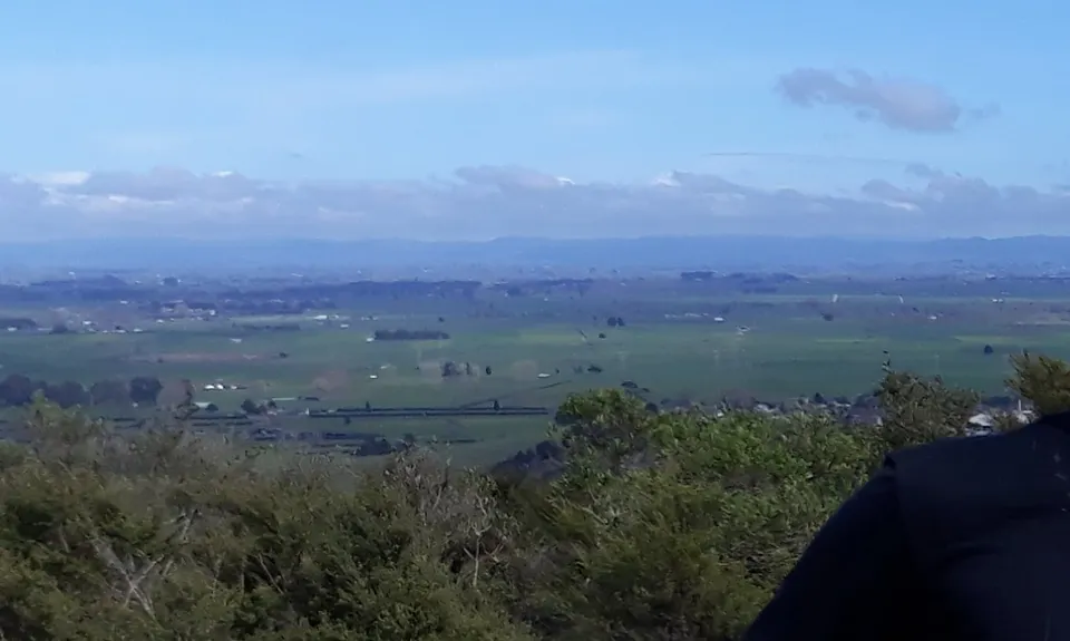
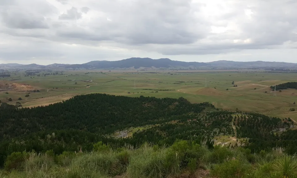
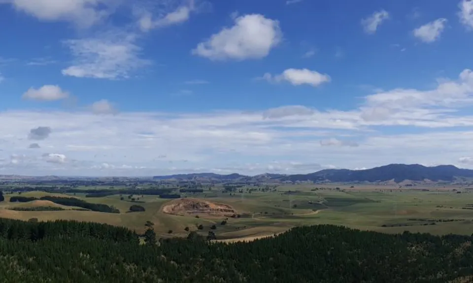
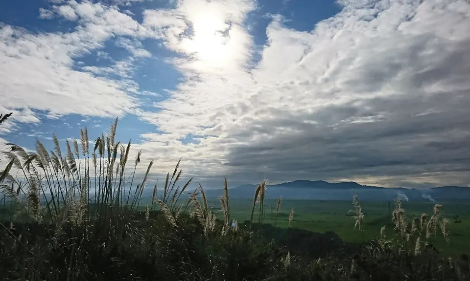
There is a wooden platform at the summit with incredible 360 degree views right over the Waikato. Information panels on the summit tower provide details about the views before you. The view is magnificent during the daytime, but also magical at night, when the lights of Hamilton, Morrinsville, Huntly and Gordonton surround below, and millions of stars shine from above.
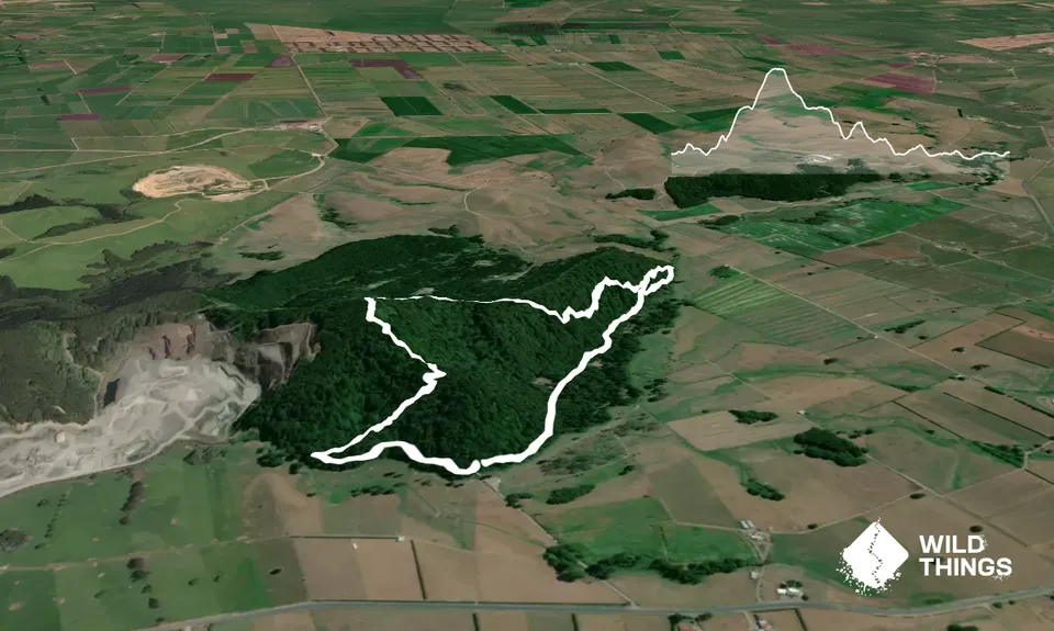
To complete the loop, continue beneath the viewing platform and alongside the fenceline down along a moderately technical single track through the bush, again following orange arrows, which will bring you out at a clearing with a round wooden gazebo in the middle of it. Both the North East track and Mangatea track will lead back to the log hauler clearing. Cross the clearing to rejoin the 4WD track that will lead back to the bridge you started from.
Maps are available at the carpark and in a plastic box behind the gazebo. Put these back if you no longer need them after you've used them. For a good run I prefer to run up the Mangatea track, then stretch out back down the boardwalk.
Trail Community
Features of interest
Boardwalk protects the roots of a beautiful Kauri forest. Some rope swings in the bush to the left just past the gazebo at the log hauler site are great entertainment for young Wild Things! Several trees are identified with labels.
Make Up of Run
Moderate Single Track: 70%
Easy Single Track: 30%
Route Data
Reviews:
Photos:
Your Trail Wishlist
All the runs that are on your To Do list (no limit).
Add to wishlist view wishlistWild Explorers
I did it!-
Access
Coming from Hamilton turn right towards Woodlands cafe along Whitikahu road, travel about 11km to the Pukemokemoke Bush Reserve sign on your left. Parking area is about 1km down the gravel driveway. From Morrinsville follow Tomtom to Pukemokemoke Bush Reserve.
Carparking for 10-15 cars at the base of the track
29 km
27 minutes
Yes
No
-
Staying Safe
Moderate.
The route up the boardwalk is easy to follow, marked by orange arrows and green wooden signs. When ascending via the Mangatea track there is just one intersection of trails, where straight ahead will lead back to the log hauler clearing, but you'll need to stick right to reach the summit. Especially easy to miss in the dark if you're running with a headtorch.
Perfect throughout.
Long-sleeved thermal top, Whistle, First aid kit, Cellphone.
Bring your own water. There is water gathered from the roof of the gazebo, but it is not recommended for drinking.
Lovely and shady for hot summer days. Cutty grass and gorse can get a bit overgrown along the fenceline.
As above
-
Post run indulgence
Prof's cafe at Woodlands Estate
42 Whitikahu Rd, Gordonton
http://woodlands.co.nz/home/cafe/
Beautiful gardens to explore, good food, peaceful and great playground for littlies. - Blog Posts and Articles
-
Sponsor this trail
See other runs nearby:
Bell Blast
Hilly Hakarimata
Lake Ngaroto
Nikau Loop & Kaiwhaniwha Caves
Harker Reserve to Vivian Falls
Ruapane Leg Burner
Karamu Walkway South
Lake D Dash
Pipiwharauroa Trail
Karakariki Track
Pukekōhatu Pack Ponies
Pirongia Loop of Insanity.
Tawarau River
Over and back on the Wairere Traverse
Hapuakohe Hills
Waiotahi Karaka Trail
Pirongia Trail Run - Munter
Karamu Walkway North