Last Updated: 13th Aug 2025
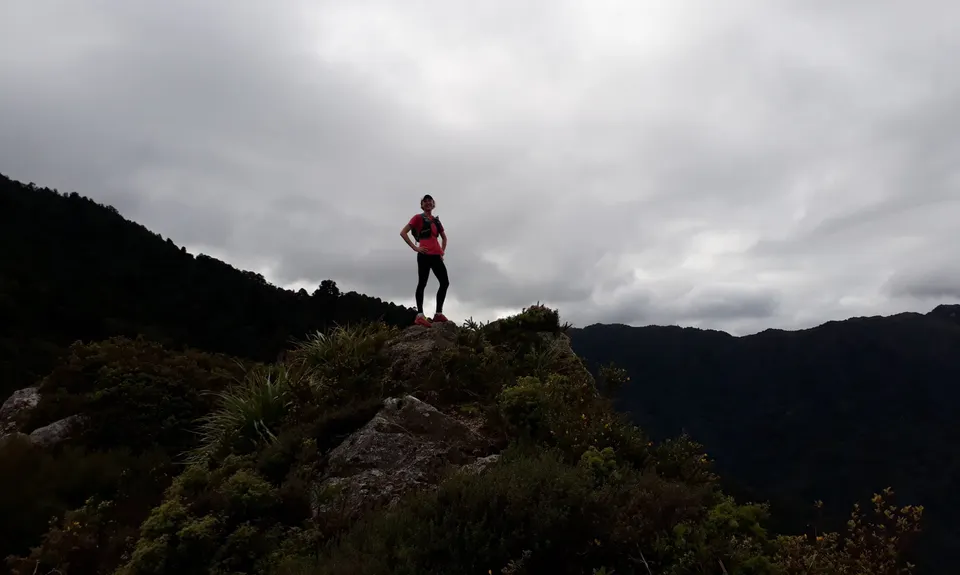
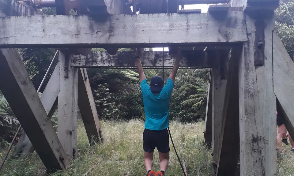
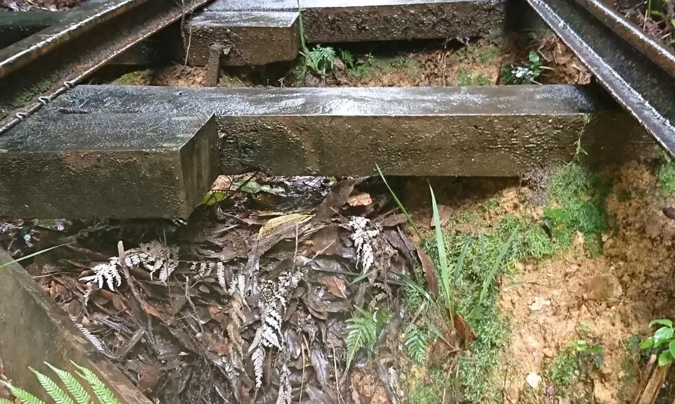
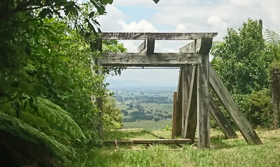
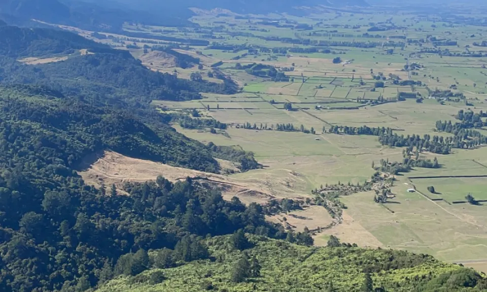
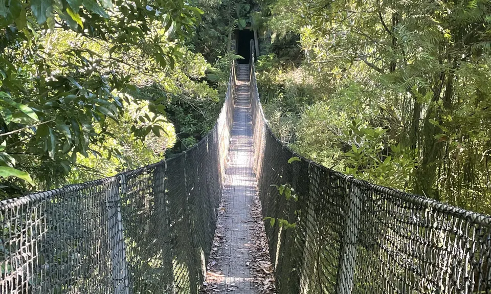
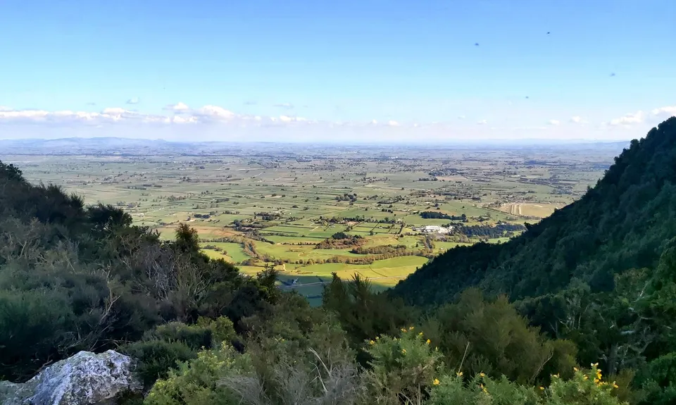
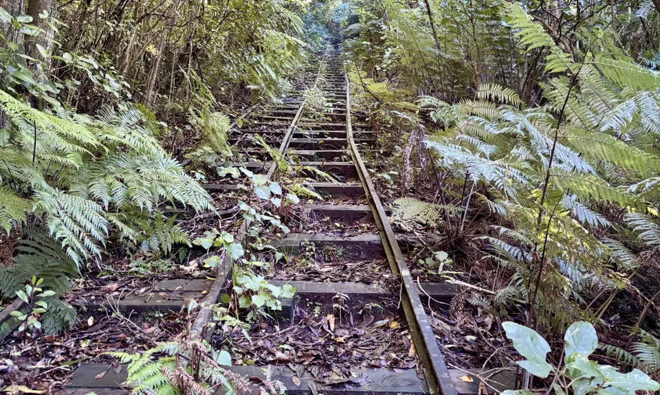
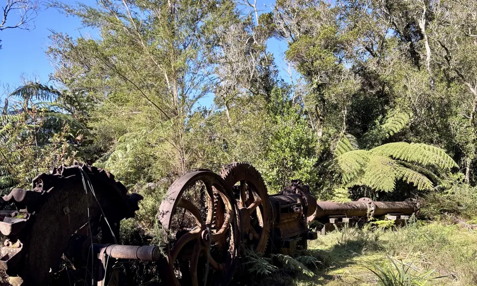
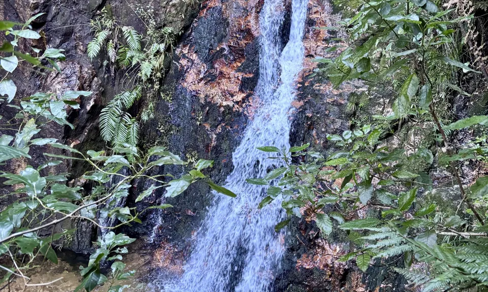
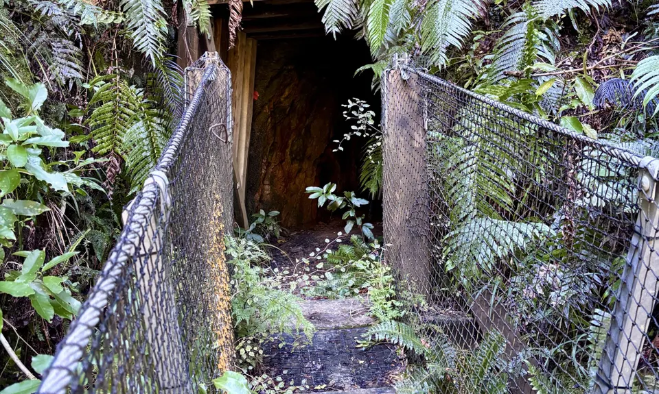
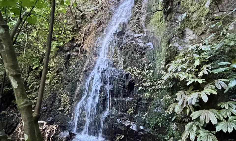
Waiorongomai Valley Adventures
Last Updated: 13th Aug 2025
Open
Grunt Factor: 25 ?
Gnarl Factor: 38 ?
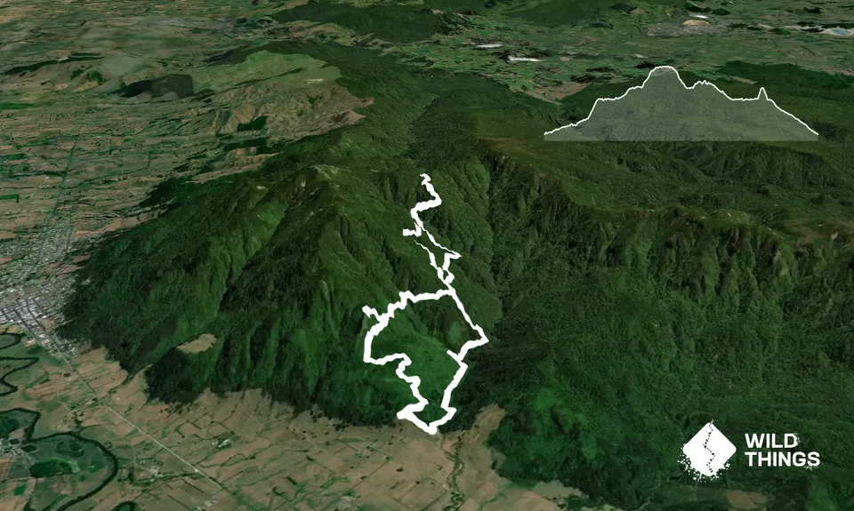
12.2km
1030m
1030m
700m

Trail Map
This Topo layer only covers NSW/ACT.
Switch to another map layer when viewing outside this area.
Switch to another map layer when viewing outside this area.