Last Updated: 9th Aug 2024
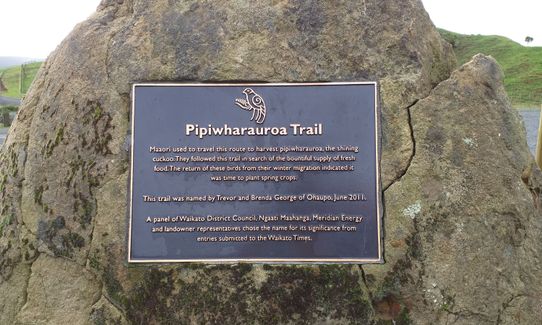
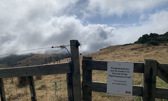
Pipiwharauroa Trail
Last Updated: 9th Aug 2024
Grunt Factor: 16 ?
Gnarl Factor: 15 ?
17.7km
380m
380m
482m


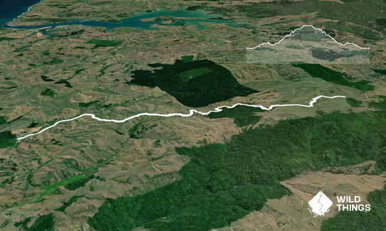
Trail Map
This Topo layer only covers NSW/ACT.
Switch to another map layer when viewing outside this area.
Switch to another map layer when viewing outside this area.