Last Updated: 12th Aug 2024
Bell Blast
Last Updated: 12th Aug 2024
Open
Grunt Factor: 16 ?
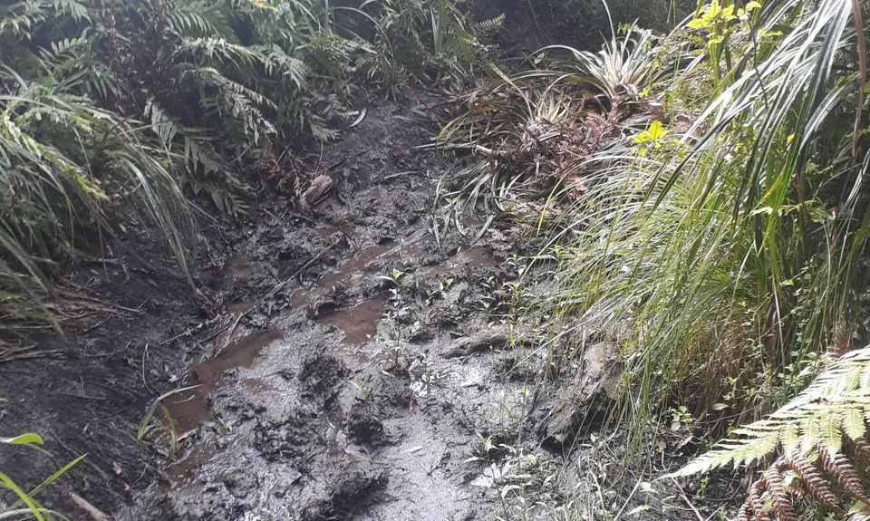
Gnarl Factor: 50 ?
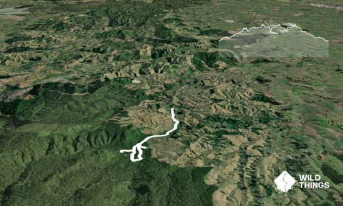
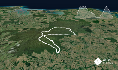
11.5km
225m
225m
260m

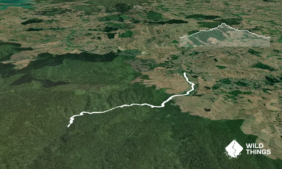
Trail Map
This Topo layer only covers NSW/ACT.
Switch to another map layer when viewing outside this area.
Switch to another map layer when viewing outside this area.