The following tracks are closed following severe weather: Bell Track, Hihikiwi Track, Mahaukura Track, Mangakara Nature Walk, Nikau Walk, Ruapane Track, Tahuanui Track, Tirohanga Track. More info here.
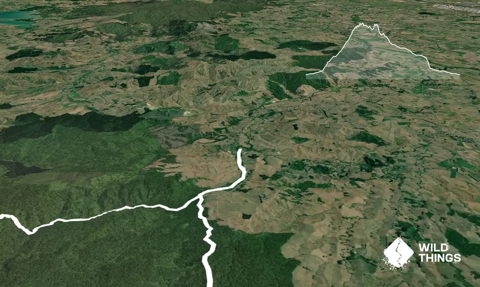
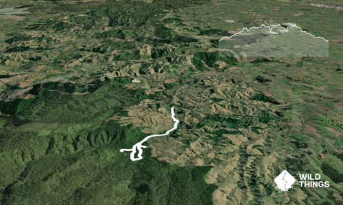
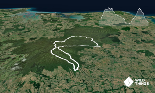
Start at the reserve carpark, cross Limeworks Loop Road and take the Nikau walk for 2.5 km to the Kaniwhaniwha Campsite.
From the campsite follow the Tahuanui Track for a hard climb of about 6.5 km until it meets the Tirohanga Track. Follow the Tirohanga Track 1 km to the Pirongia Summit (957 m), stay on the track for about another 1 km until you get to the Pahautea Hut. The hut has shelter, water, and the most phenomenal view from a toilet you will ever get.
From the hut take the Bell Track 1.5 km to the Cone (954 m). From here the track drops down for about 8 km to the central campsite. Stay on the Bell Track for another 4 km and take the swing bridge over the Blue Bill Stream.
Once across the bridge the track immediately turns to the left and follows the stream for about 4 km until it meets up again with the Nikau Walk, take this 2 km back to the Kaniwhaniwha Reserve.
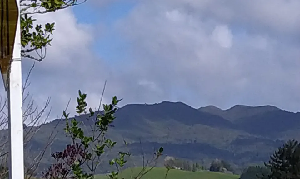
Pirongia Mountain is the largest area of native forest remaining close to Hamilton and is of considerable conservation value due to the variety of plant life and wildlife habitats available. Rimu and tōtara are found at lower altitudes along with tawa and tree ferns. Higher up, the forest changes; hardy plants like kāmahi, tāwari, horopito and mountain.
There is a decent carpark with a serviced toilet block, it can get quite full so getting there early is advised. There is a great flat area beside the stream and you can soak the joints and ligaments in one of the swimming holes when you get back from the trail. There is also a DOC campsite 2.5 km from the carpark.
29 km
26 minutes
With Permit
No
Hard.
As this is a DOC forest park there are orange trail markers at least every 20 - 30 m in both directions of the trails. If you find you are on pink markers you have left the main track retrace your steps. There are also signs at all intersections giving directions and track names.
Track wise half way is the Pahautea Hut, you can get water to drink there. Although it's only 10 km it is a hard trail.
There are number of stream crossings that could be used if you carry a filter bottle.
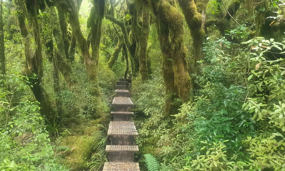
The high level tracks on Pirongia follow steep-sided ridges. Water is difficult to find, especially in summer, so be sure to take sufficient drinking water with you. Because of poorly drained soils, many of the tracks can be very muddy, especially after rain.
Mud, rocks, streams, steep tracks and drop-offs.
Kaniwhaniwha Stream
Beside the reserve.
Swimming and cooling off after the hard trail!
Do you have another suggestion on where to go afterwards for the best coffee / cake / breakfast / brunch / beer?
Tough going, most especially the scramble and and down the Cone - down the harder of the two. Great place to come if you want a cheap mud bath as on occasion I was immersed well past my knee in boggy mud. Cracking views at the top.
Agree with Jayne, go after a long dry spell, when the Bell Track mud monster is not in evidence. A great end-of-summer run, much of Bell and lower Tahuanui is runnable, plus a couple of sharp gnarly scrambles on the North side of the Cone make for a good mix of terrain.
We walked this track and it took about 9.5 hours, so totally doable as a long day hike as well :) Bell track is notoriously boggy, but when we went after a really long dry spell it wasn't too bad! Both of these tracks are quite tame in gradient compared to the other Pirongia tracks, except for the short lung busting climbs to and from the Cone and around the summit. So glad to have finally done this epic loop!
These overlap with this trail to some degree. You may wish to combine them but please note that to qualify for FKTs on these runs you should record a separate activity for each.
We don't store or share your location; it's only used for these features. You can continue without it, just without distance sorting and live map features.
Send to your phone
Scan the below QR code to open this trail on your phone.
Tip: position the QR code in your phone camera screen.