Last Updated: 1st Oct 2025
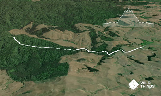
Karakariki Track
Last Updated: 1st Oct 2025
Grunt Factor: 9 ?
Gnarl Factor: 34 ?
5.0km
200m
200m
182m


Trail Map
This Topo layer only covers NSW/ACT.
Switch to another map layer when viewing outside this area.
Switch to another map layer when viewing outside this area.


