Last Updated: 19th Nov 2025
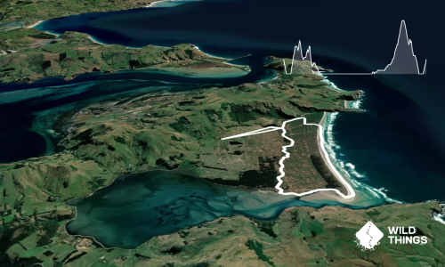
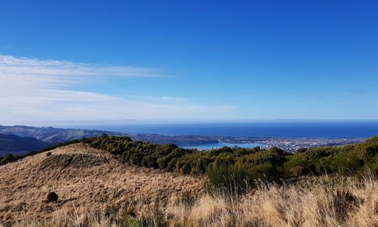
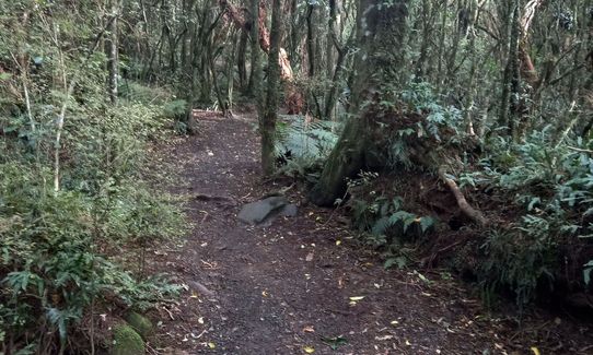
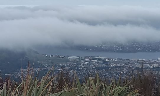
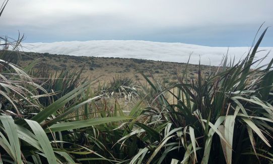
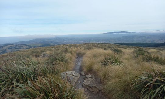
Pineapple and Flagstaff
Last Updated: 19th Nov 2025
Open
Grunt Factor: 12 ?
Gnarl Factor: 28 ?
7.6km
500m
500m
668m
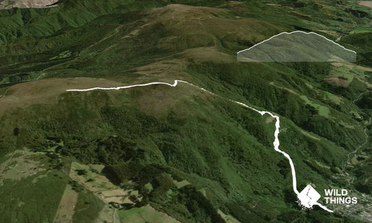
Trail Map
This Topo layer only covers NSW/ACT.
Switch to another map layer when viewing outside this area.
Switch to another map layer when viewing outside this area.