Last Updated: 18th Oct 2025
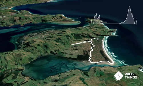
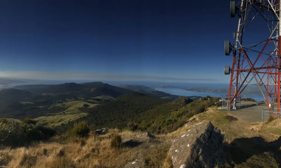
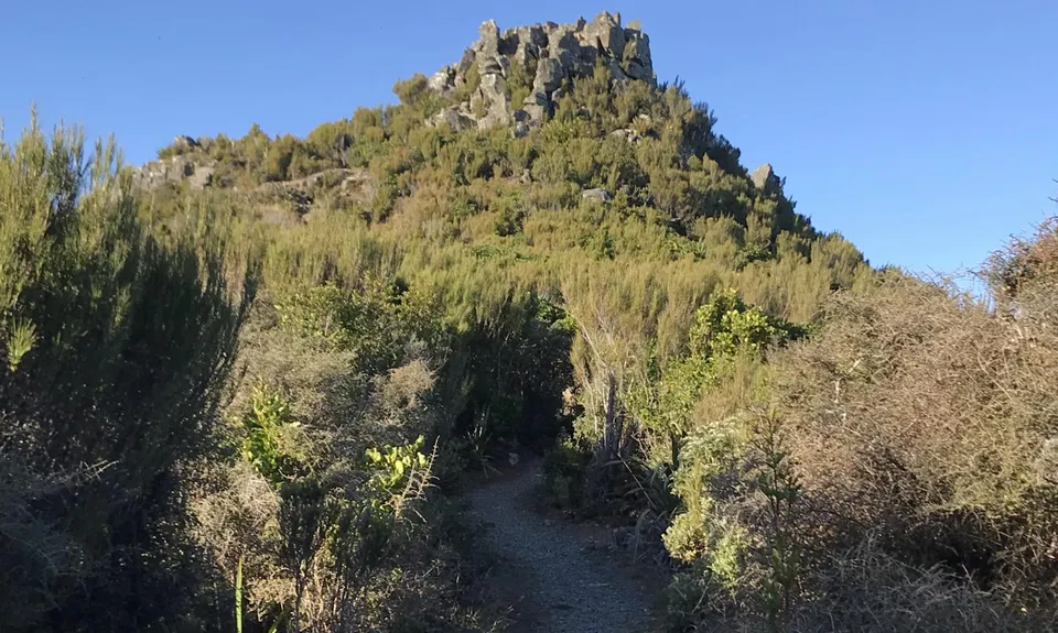
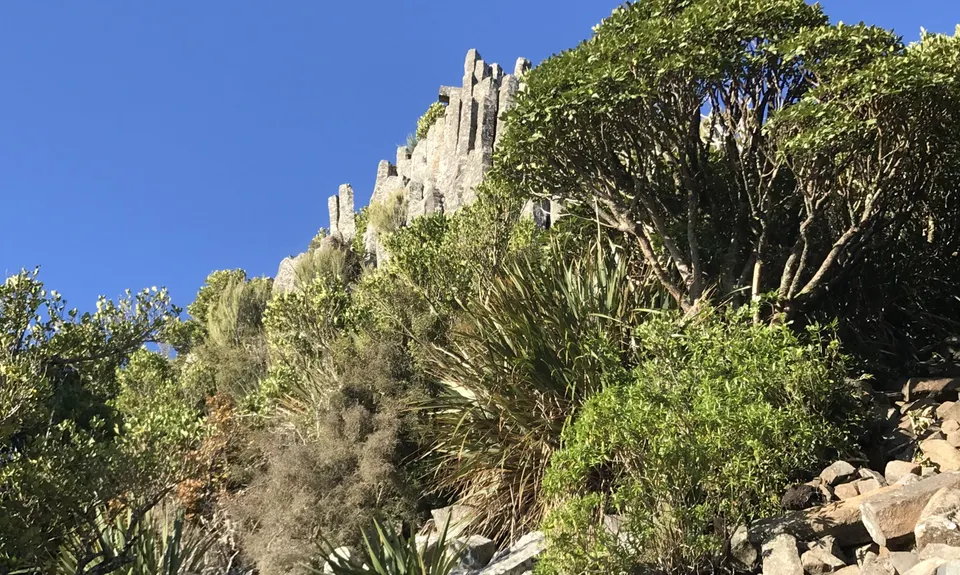
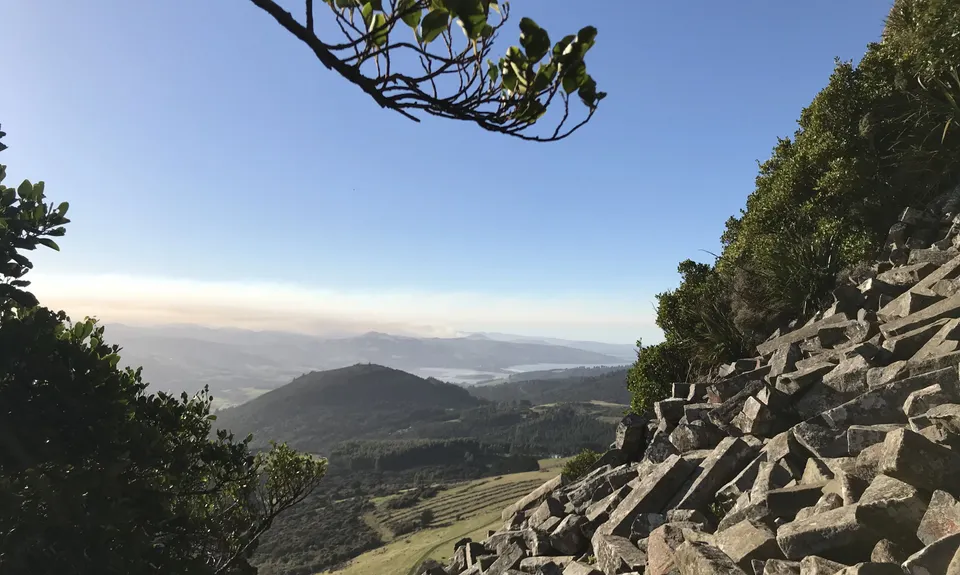
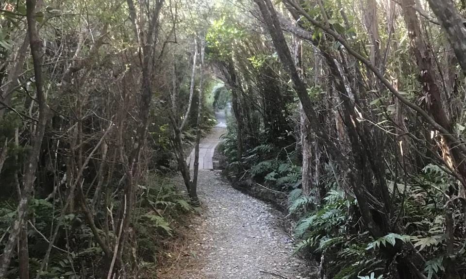
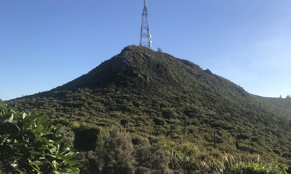
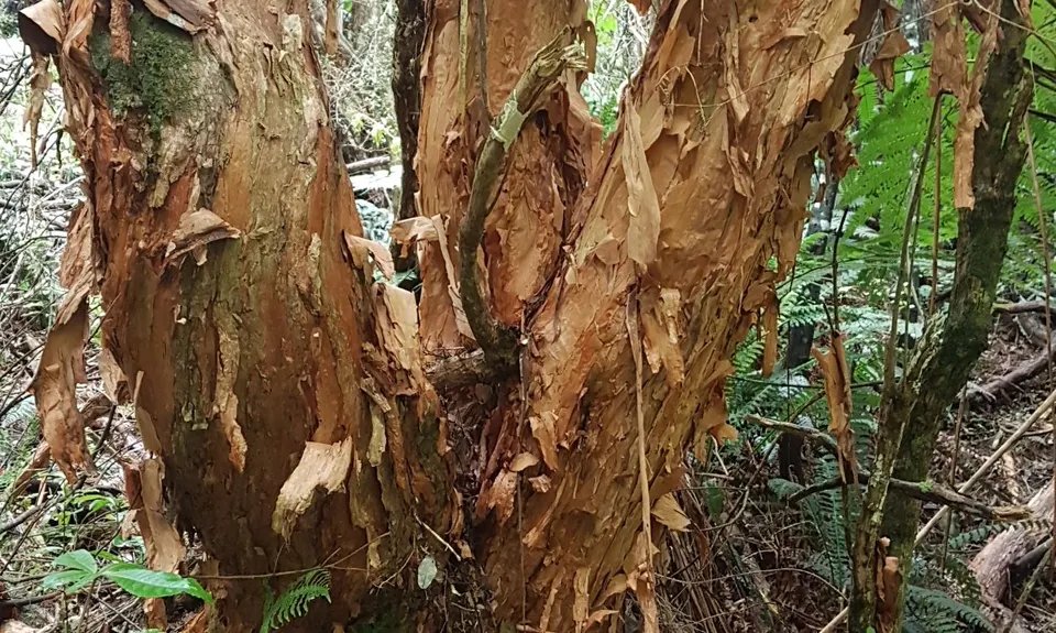
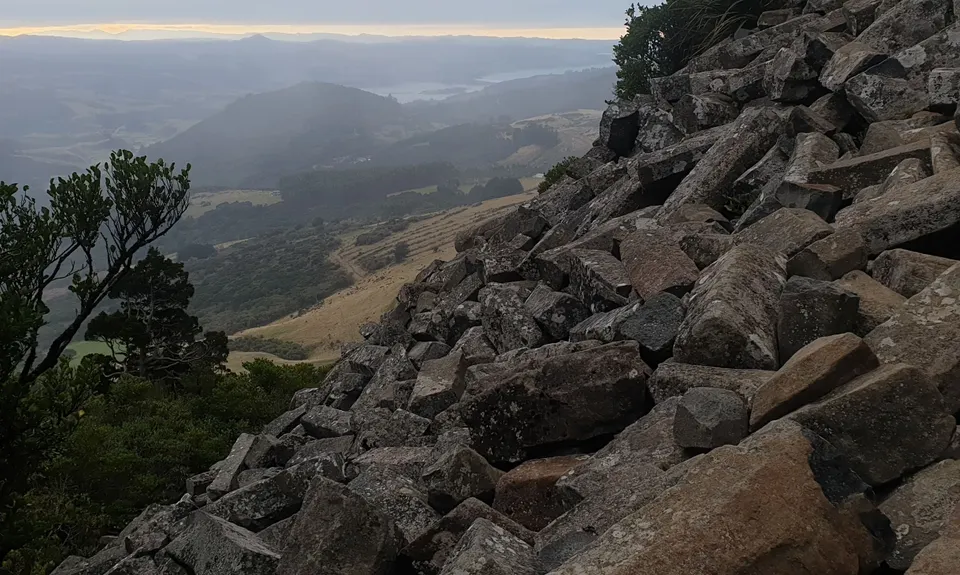
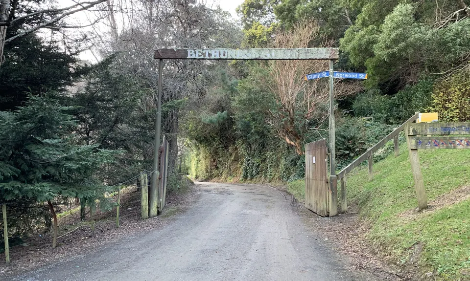
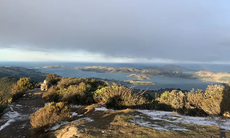
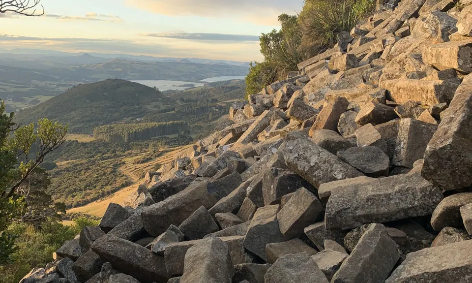
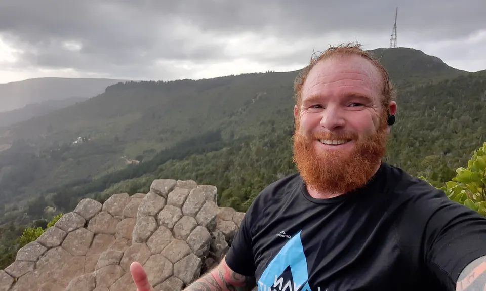
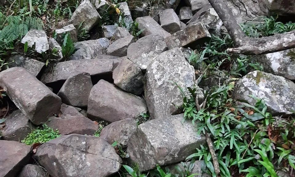
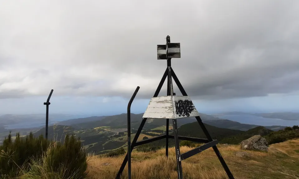
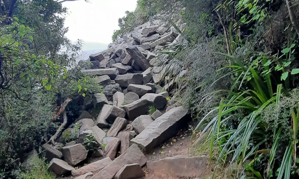
Mt Cargill and Organ Pipes
Last Updated: 18th Oct 2025
Open
Grunt Factor: 20 ?
Gnarl Factor: 37 ?
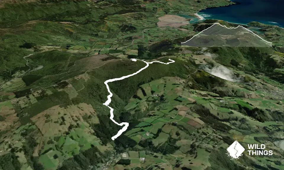
10.5km
680m
680m
670m


Trail Map
This Topo layer only covers NSW/ACT.
Switch to another map layer when viewing outside this area.
Switch to another map layer when viewing outside this area.