Graham's GruntBeginner - Intermediate
Submitted by Ultra Pīwakawaka
Beginner - Intermediate
2:00 (Slow)
1:30 (Moderate)
1:00 (Fast)
-7.9%
+17.6%
Fastest Known Times (FKTs)
Please set your gender to see your position on the FKT leaderboards.
The more , the harder the FKT will be to beat. Learn about Fastest Known Times.
Description
Once you've parked, continue up the gravel road. Graham's Bush signage should be clear. There is a large gate at the end of the road. Climb the steps to the left, and then continue a short distance before veering left onto the track, and then it's a short jog before reaching a small gate and the start of the track.
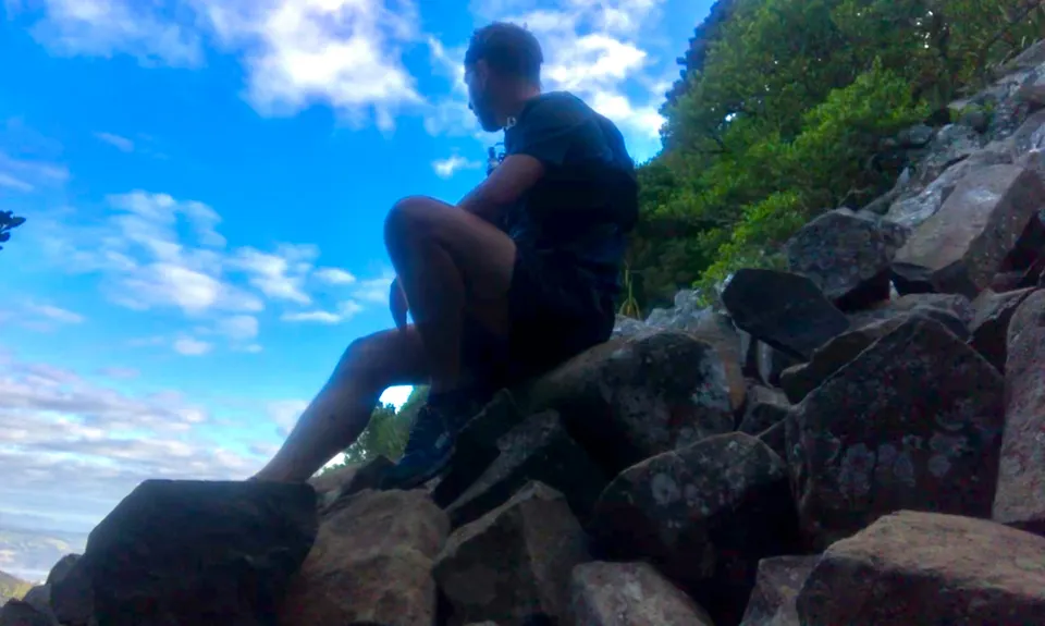
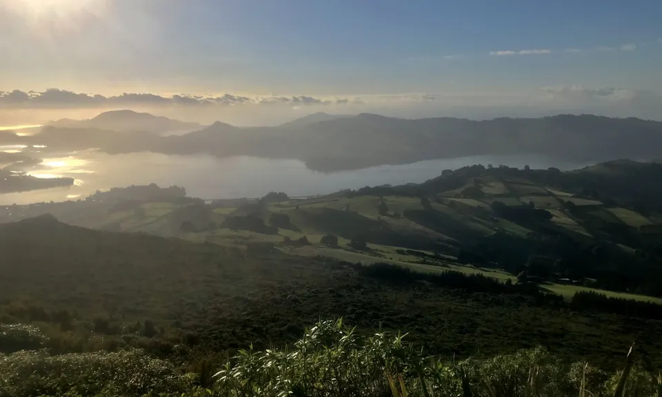
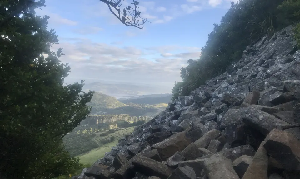
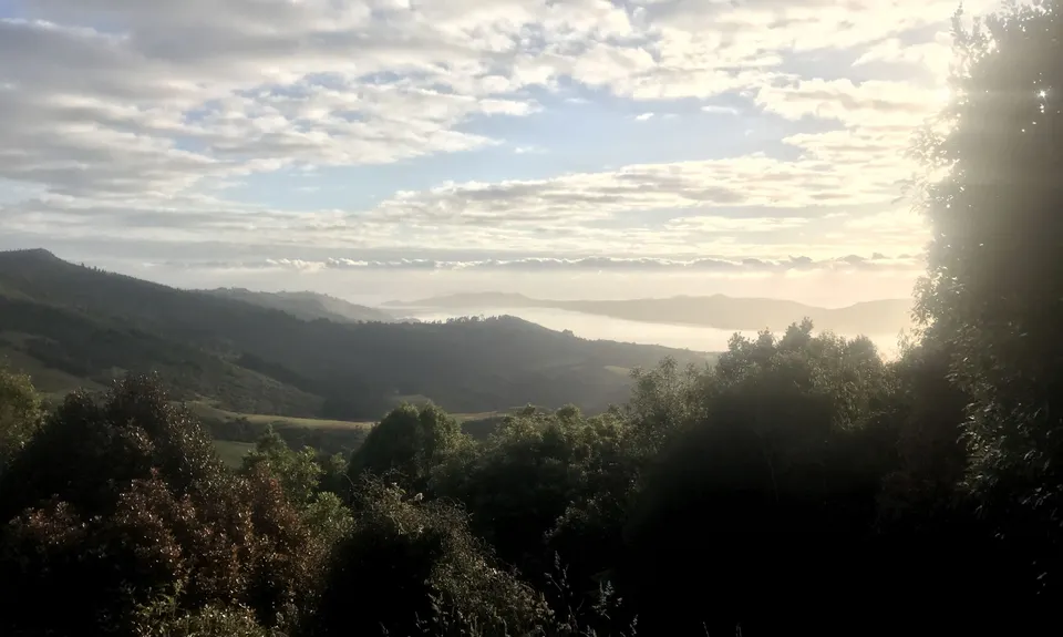
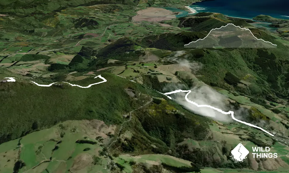
This beautiful reserve features a plethora of korimako, which can make for a very musical run. The track is close to running water which is crossed at points over short bridges. Expect some slippery rocks and mud year round, but especially after recent rainfall. Some pockets of the track are nestled into a wee nook and tend to stay wet. Once you're at the top you have options! You can take the track back the way you came, or you can make your way back to the Bethune's Gully track and make your way down there and back (if you're feeling like a double climb!) - otherwise, take some time to enjoy the scenery and some of the different sights such as the Organ Pipes and Butter's Peak.
Trail Community
Features of interest
Grahams Bush Reserve was originally the site of sawmills and brick kilns operated by David Bethune in the 1880s, and became city council property in 1955. Mt Cargill rewards all climbers with a stunning panorama of Dunedin and the Otago Harbour. The Organ Pipes are close by, which are unique volcanic rock formations.
Make Up of Run
Untracked / Route only: 0%
Technical Single Track: 10%
Moderate Single Track: 20%
Easy Single Track: 60%
Farm Road / 4WD Track: 0%
Gravel Road: 10%
Sealed Road: 0%
Route Data
Reviews:
Overlapping Runs
The following trails overlap with this run to some degree. You may wish to combine them but please note that to qualify for FKTs on these runs you should record a separate Strava activity for each

Mt Cargill and Organ Pipes
Length: 10.50km
Photos:
Your Trail Wishlist
All the runs that are on your To Do list (no limit).
Add to wishlist view wishlistWild Explorers
I did it!-
Access
Turn into Sawyers Bay and travel to the cul-de-sac at the end of Hall Rd.
Plenty of on street parking near the end of Hall Rd. Don't drive up the gravel road as there's no parking and turning can be tricky.
14 km
20 minutes
No
No
-
Staying Safe
Easy.
Follow the description and clear signage and you shouldn't miss it.
Generally good.
Windproof jacket, Gloves, Beanie/thermal headwear, Whistle, First aid kit, Extra food for emergencies, Cellphone, Map.
The stream meets the track near the start of the track. Unsure if the water is drinkable.
Muddy and slippery rocks after rain. Exposed to cold winds at the summit.
Keep an eye out for livestock at the beginning of the track which rarely wander down from a neighbouring private driveway.
-
Post run indulgence
Futomaki
Port Chalmers
https://www.facebook.com/FutomakiPortNZ/
Sensational food, fresh and full of flavour. Friendly and quick service. Unbeatable prices! - Blog Posts and Articles
-
Sponsor this trail
See other runs nearby:
Karetai, Highcliff, Paradise and Greenacres
Green Hill via Swampy
Taieri Mouth Millenium Trail
Mt Cargill and Organ Pipes
Ross Creek and McGouns
Signal Hill Big Easy
Pineapple and Flagstaff
Slick and Quick Swampy
Silverpeaks Classic Loop
Flagstaff Swampy Circuit
Leith Valley Swampy Circuit
Alternative Flagstaff Circuit
Seal Point Rd to Sandymount
Purakaunui Beach Loop
Leith Saddle and Burns Track loop
Ross, Pineapple, Frasers loop
Karetai Soldier
Coasting
Racing to Rain Gauge
2.8 Peaks Dunedin
Nichols Fall Loop
The Bullring Basher
Greengauge Loop
Chalkies Loop
Orokonui Heaven
The 3 Peaks
3 Peaks Plus 1
Silverpeaks Pure