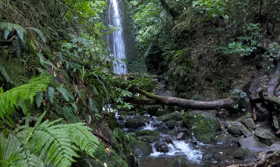
Looking from the road, take the entry on the left had side of the road. At first it is lovely park trail, although with a good climbing angle. Stay straight on the main track all the way to the Glowworm area.... unless you are doing this at night there won't be any, so turn around and head back, looking out for the signed trail on your right to the waterfall. Head up that until it meets the bigger trail and turn right. Follow that all the way to the waterfall, ignoring all side trails.
At the waterfall, take a pic or two then carry on that trail down to the side of the stream - after a couple of hundred metres it just peters out. Turn around and head back up and past the waterfall. Heading back along that trail watch out for a trail off to the right. There is no signage, but it is well formed. Head up here and follow this trail ever upwards. You will pass through several long grass areas with no signage, but the trail is pretty easy to follow.
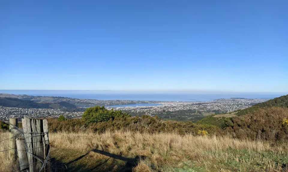
Eventually somewhere around 4km you will come out on the top grassy area, you will know because they will be the best views so far. Keep following the trail for a bit further and it joins a well-formed gravel track. Head right up that until you come to and intersection with some older signs. Follow the track to Swampy Summit, after a while you will reach another sign and this time head onto Swampy Ridge Track. This will probably be true to its name... follow that and just after the crest of the next climb watch out for a small sign on your right for "Moon Tr". Turn right here.
At first there is some lovely running through here, then a mix of nice running and rutted technical trail. You will come to the first intersection with the new MT trail... ignore that and veer right on Moon Trail... then after a bit you reach another intersection with MTB trails. This time drop onto the downhill one and follow it for a bit and it meets a pretty new gravelled downhill MTB... and away you go.
Follow that until you reach a wide track that heads reasonably steeply down the hill (the mtb goes right here)... go down the wide track to the end, At the end there is a green grass paddock left, the uphill MTB right and you take the downhill MTB in the middle. From here there is a bit of flexibility... there are multiple downhill trails that all lead the same place. I kept left, at each choice I veered to the left f it was downhill. After a while this took me onto a short section of grass with a large red arrow and then into a gully... again follow the gully and any of the downhill trackas and it will put you on the road within metres of your vehicle.