Last Updated: 8th Jul 2026

Beginner - Intermediate

Save Trail Save

I've done it Done

Blyth Hut Return

Stunning single track through native forest, alpine tarns and flowing streams

Round the mountain track

Blyth Hut Track

Submitted by Alex Gilbert

Last Updated: 8th Jul 2026

Beginner - Intermediate

Save Trail Save

I've done it Done

Grunt Factor: 15 ?

Gnarl Factor: 36 ?

7.7km

480m

475m


Become a VIP to see driving directions, distance and time.

Trail Map

This Topo layer only covers NSW/ACT.
Switch to another map layer when viewing outside this area.

Type of Run

Front country - easily accessible

Out and Back

Undulating, some big hills

Native bush

Open tussock/grasslands

Run Makeup

45%
55%

Easy Single Track

Moderate Single Track

Average Uphill Gradient: +12.50%

Average Downhill Gradient: -12.40%

Garmin Course

VIP Feature: Send this route to your Garmin account so you can follow the course on your Garmin device.

Send to Garmin

Learn about sending to Garmin.

Trailhead

Become a VIP Member to see the trailhead information.

Estimated Times to Run

1:45

Slow

1:15

Moderate

50:00

Fast

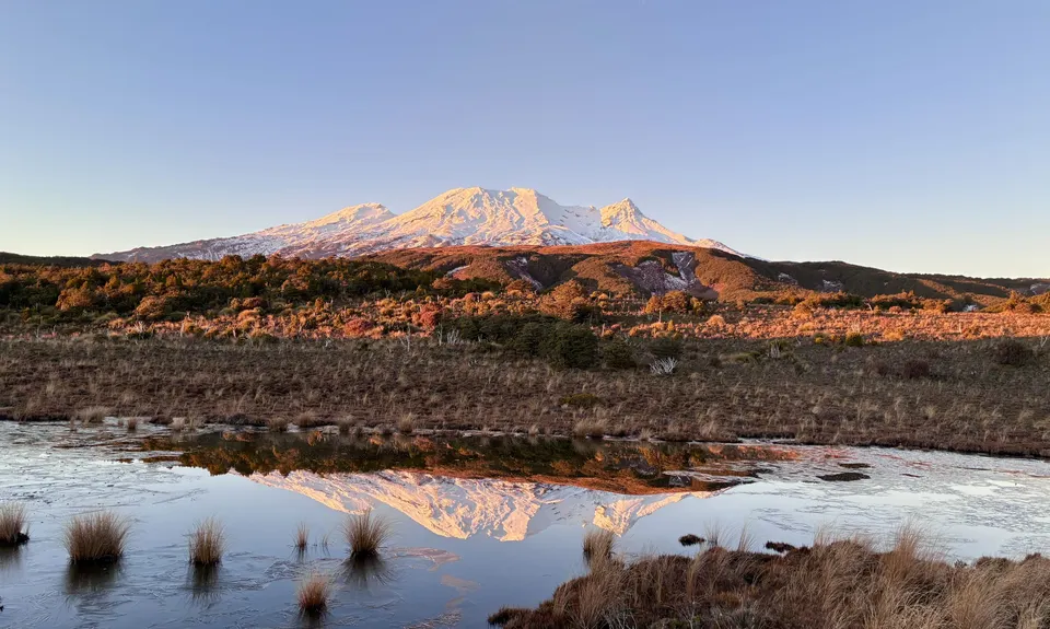
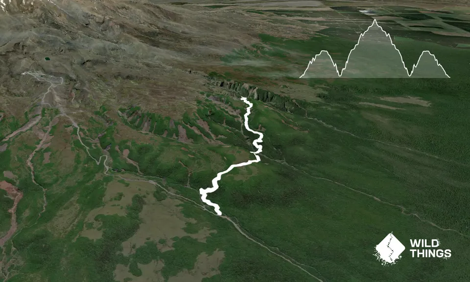
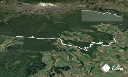
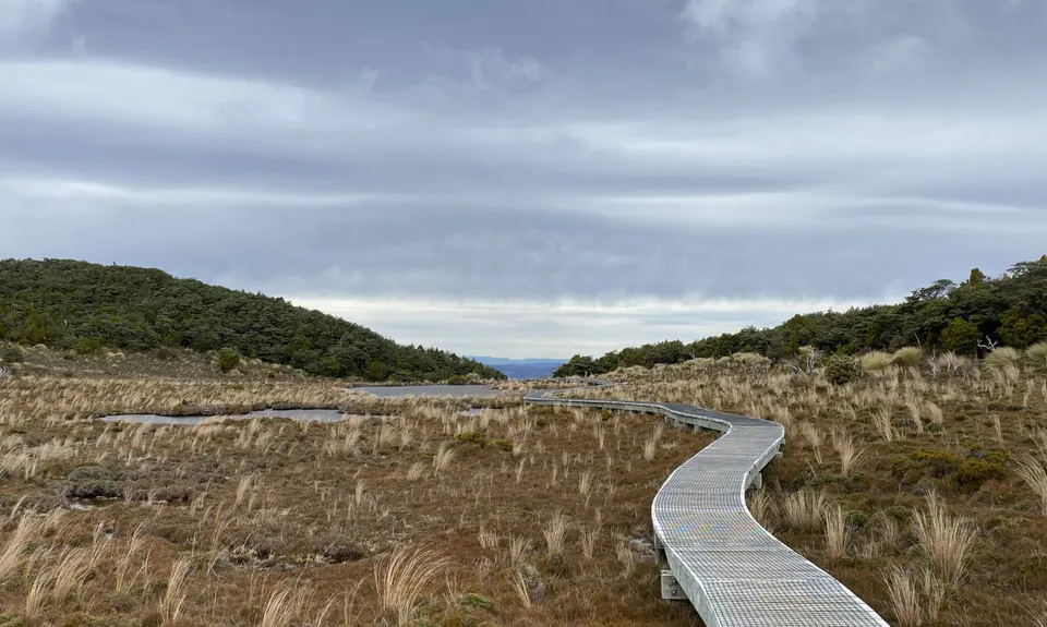
From the carpark, you immediately enter the native Beech forest on a well maintained single trail, wind your way up to the boardwalk where the forest opens up to some alpine tarns with a picture perfect view of Mt Ruapehu.

*Note - there is a turnoff to your right for the 'Old Blyth Track' before the tarns, don't veer off here, just continue straight ahead.

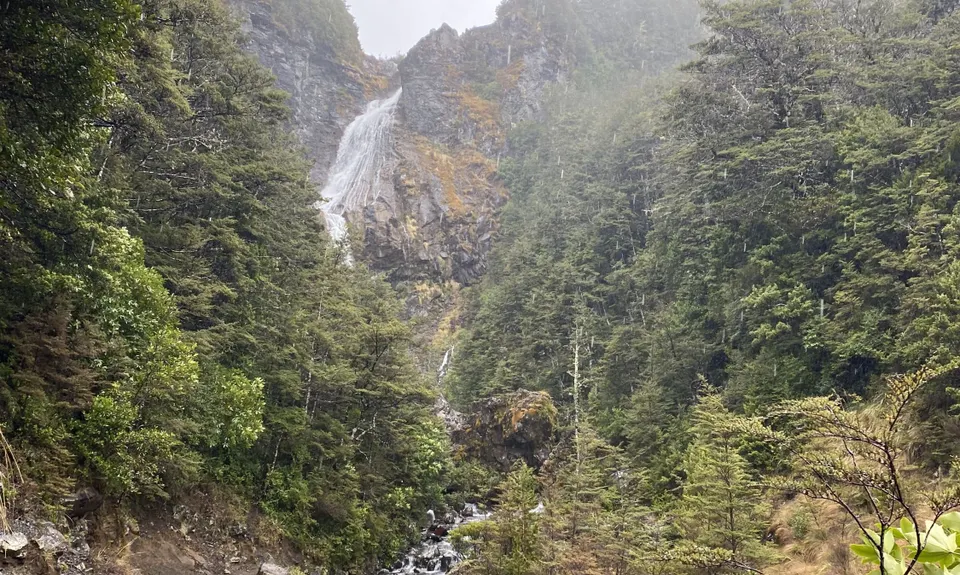
After the boardwalk, you descend down to the Waitonga falls - this section of the trail is pretty family friendly and has good view points of the falls which are impressive after some rain or in the spring with snow melt.

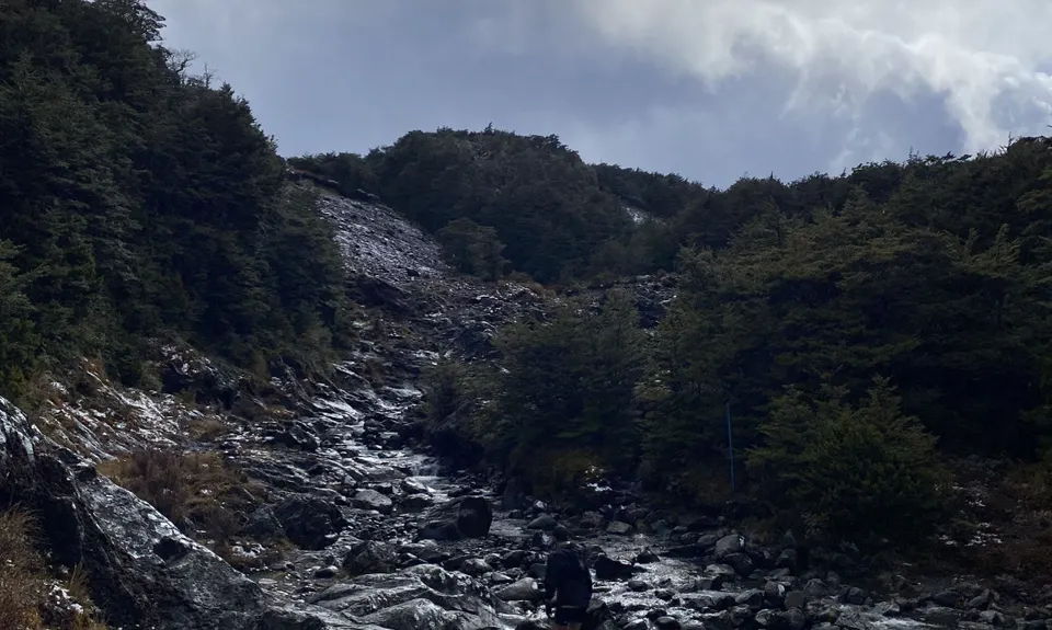
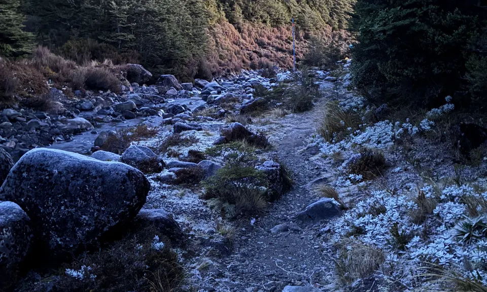
From the falls, the trail is marked with blue posts as you cross the stream in several places and re enter the bush on the other side, there is some climbing of tree roots here where the trail is a bit worn, but is still well marked. 2.5km in from the carpark is the turnoff to Blyth hut, turn left here (continue straight for the Round the Mountain track). Follow the marked track up to Blyth Hut which is 4.0km in (you will pass another private hut on your left, 3.6km in).

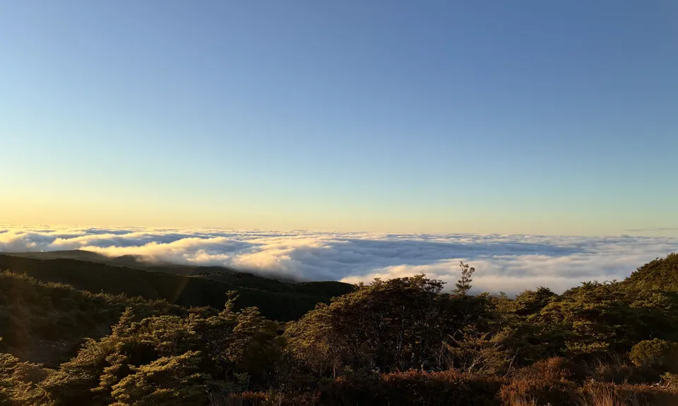
Worth getting to the top for a sunrise or sunset pic.

Waitonga Falls, Blyth Hut, Mountain views (Mt Ruapehu & Mt Taranaki on a clear day).

Nill

Drive yourself to the trailhead.

14 km

17 minutes

No

No

Easy.

Follow the well marked and signposted DOC track.

Patchy.

Thermal leggings, Long-sleeved thermal top, Seam-sealed waterproof jacket, Gloves, Beanie/thermal headwear, Whistle, First aid kit, Extra food for emergencies, Cellphone, Map

Multiple stream crossings.

Icy in winter or after snow, take care on stream crossing and shaded areas where ice is harder to see.

Stream crossing at Waitonga Falls could be hard after a lot of rain.

Do you have a suggestion on where to go afterwards for the best coffee / cake / breakfast / brunch / beer?

Trail Legend

Alex Gilbert

Alex Gilbert

has completed Blyth Hut Return once in the last year.

Login as a VIP to become a Trail Legend. Learn about Trail Legends.

You and Blyth Hut Return

As a VIP member you can record private notes for this trail, see all of your times and more.

Become a Member

Already have an account? Login now

Trail Reviews

Be the first to submit a review for Blyth Hut Return!

Login to submit a review

Trail Running Community

Find people who are interested in or have completed this trail run.

You must register or login to view this feature.

Register Now

Overlapping Trails

These overlap with this trail to some degree. You may wish to combine them but please note that to qualify for FKTs on these runs you should record a separate activity for each.

RTM - East & North

RTM - East & North

Length: 45.0km

Level: Experienced

Blyth Hut and Beyond

Blyth Hut and Beyond

Length: 21.5km

Level: Intermediate

Blyth Alpine Loop

Blyth Alpine Loop

Length: 13.2km

Level: Intermediate

Other trails nearby
Ohakune Town/Forest Loop

Ohakune Town/Forest Loop

Length: 11.3km

Level: Beginner

Horopito Schmito

Horopito Schmito

Length: 16.0km

Level: Beginner - Intermediate

Ruapehu - West Side

Ruapehu - West Side

Length: 19.6km

Level: Intermediate

Ohakune Parkrun

Ohakune Parkrun

Length: 5.0km

Level: Beginner

Find more trails and peaks nearby

Wild Things
Wild Things
Explore more

Plan smarter, stay motivated, track your progress, and unlock the full Wild Things experience — while saving along the way.