Last Updated: 27th Mar 2024

Experienced

Save Trail Save

I've done it Done

Ohakune-Horopito Powderkeg Loop

Includes part of Horopito Schmito

Old Coach Road, Mangawhero Forest Walk

Ohakune, Manawatu - Wanganui

Submitted by Tony Rovers

Last Updated: 27th Mar 2024

Experienced

Save Trail Save

I've done it Done

Grunt Factor: 23 ?

Gnarl Factor: 24 ?

29.5km


Login as a VIP to see driving directions, distance and time.

Trail Map

Type of Run

Front country - easily accessible

Loop

Undulating, small hills only

Native bush

Open farmlands

Open tussock/grasslands

Volcanic

Run Makeup

15%
20%
10%
25%
10%
20%

Sealed Road

Gravel Road

Farm Road / 4WD Track

Easy Single Track

Moderate Single Track

Untracked / Route only

Average Uphill Gradient: +0.0%

Average Downhill Gradient: -0.0%

Trailhead

Login as a VIP to see the trailhead information.

Estimated Times to Run

Not suitable

Slow

4:00

Moderate

3:00

Fast

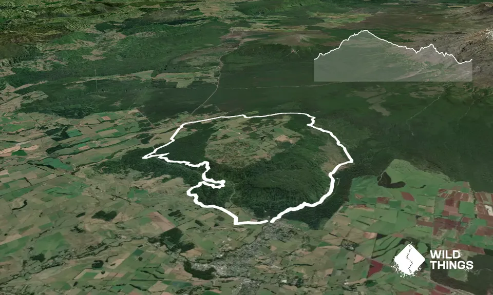
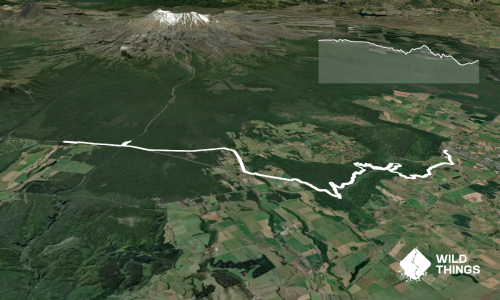
Starting at the PowderKeg this run is a bit more of an adventure. Follow the Tūroa Mountain Road NW 300m to the Mangawhero Forest Walk west of the road, following the trail up to the Mangawhero campground  2.1km turning left at end of single-track (alt. follow Mangawhero Forest Walk east of the road, crossing Turoa road and bridge to campground).

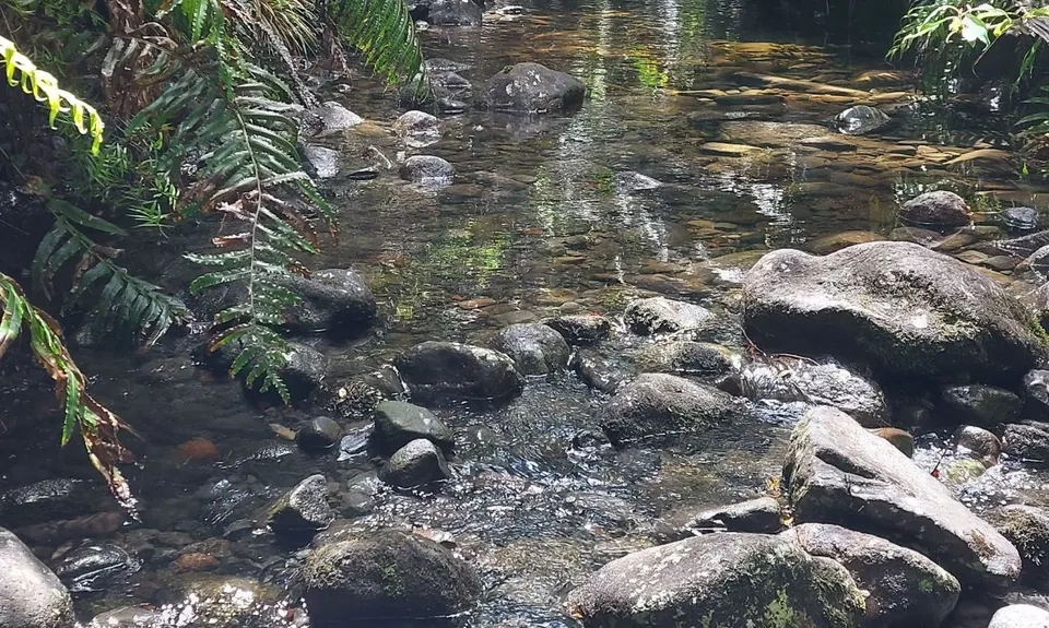
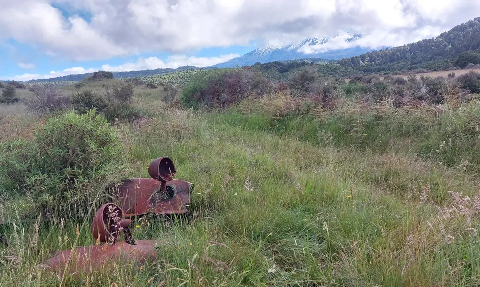
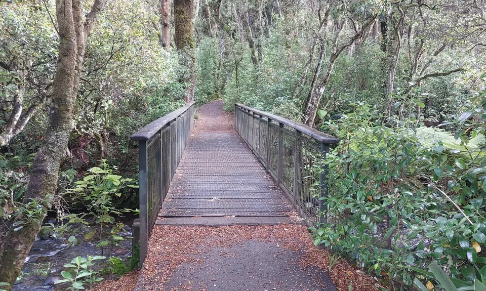
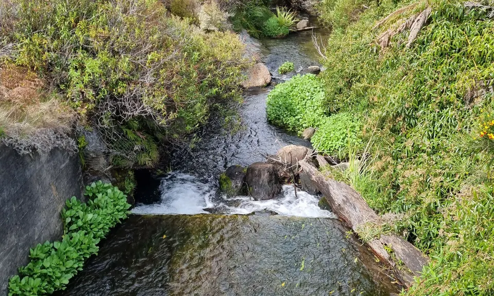
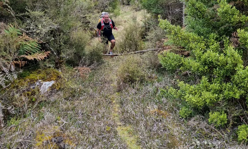
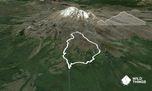
Continue on gravel road past campground through a farm gate into the National Park. Follow main old farm track to NW, 3.6km (50m past the old rusty farm truck) turn east down to creek and look for the wooden foot bridge over a weir to cross. Trail from here is following very old farm/logging trails and deer trails. Follow the wooden posts across the flats (future MTB track) aim for the end of the narrow ridge 1000m to northwest. Care required with deep grass and holes.

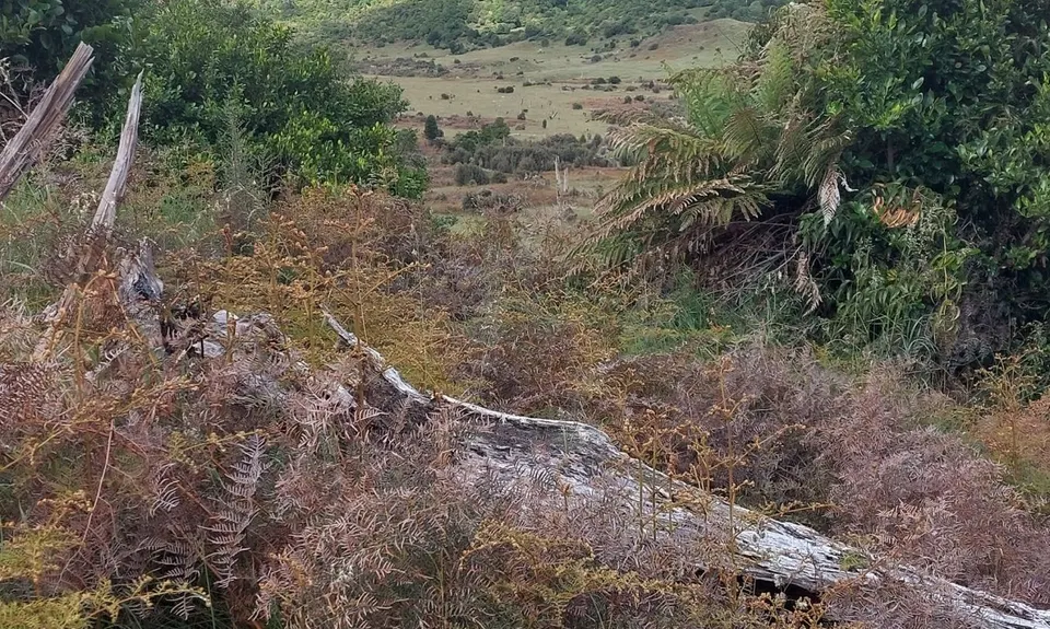
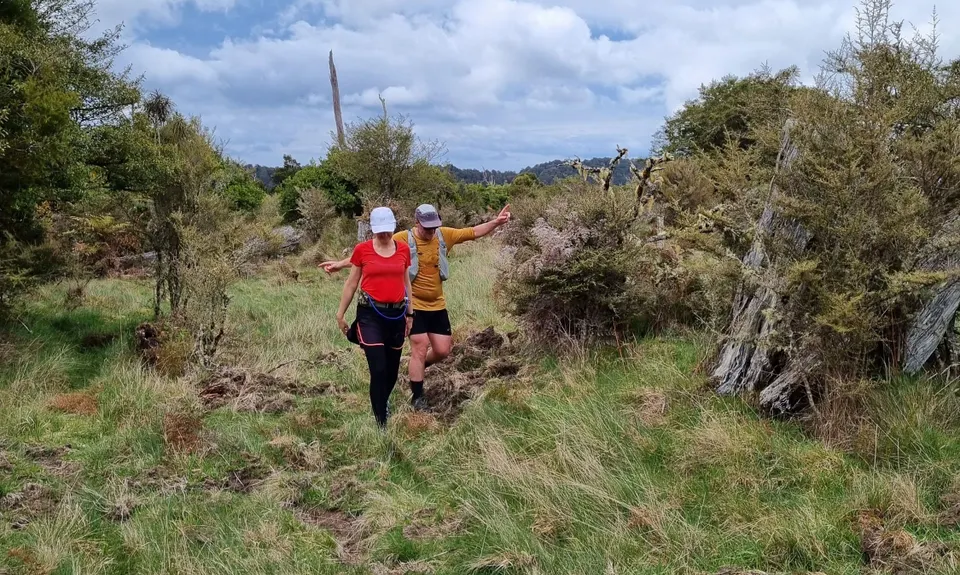
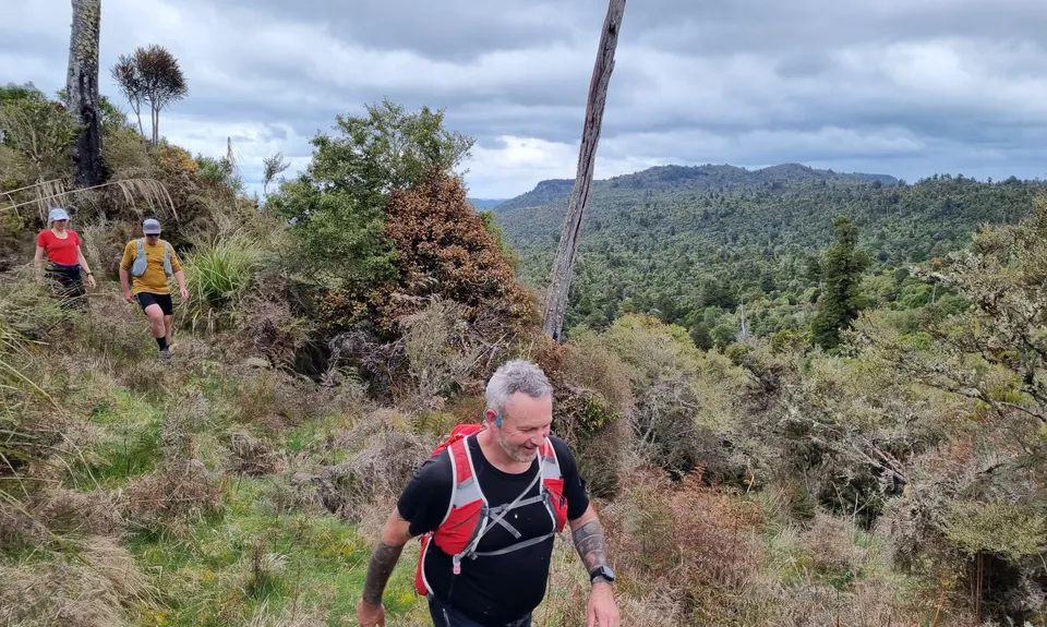
Climb the cleared part of this ridge finding an old farm track turning North at 4.7km up the centre of this ridge. Follow old trail and fenceline North on ridge centreline to S39.355407°, E175.440004° at 6.9km veer West to follow clearings along bluff. Look for orange insulation tape marking easiest trail, can be a challenge with a stream crossing and thicker scrub. Aim for start of large clearing at S39.351704°, E175.436409° at 7.5km with rusty old water tank. Options to cross large clearing but aim for start of main trail again at S39.347313°, E175.434020° at 8.4km.

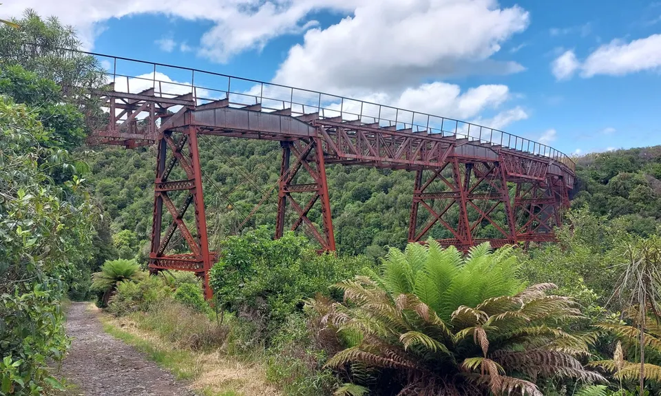
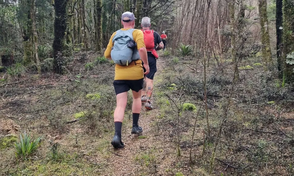
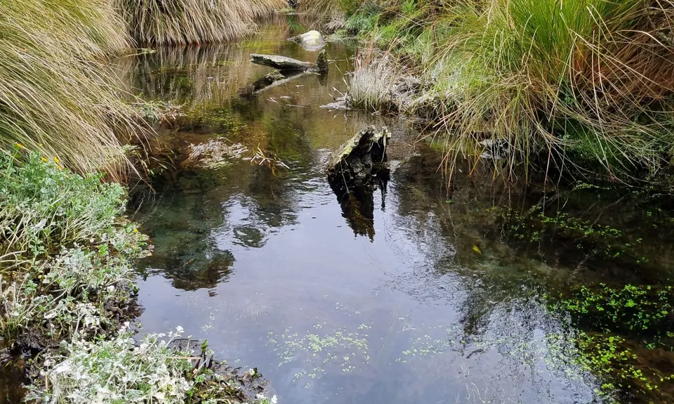
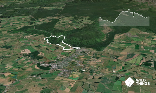
Follow old logging trail, crossing Waipara stream, until junction with the Horopito- Mangaturuturu DOC track at 9.6km (see WT trail Horopito Schmito). Follow the main DOC gravel track west downhill.

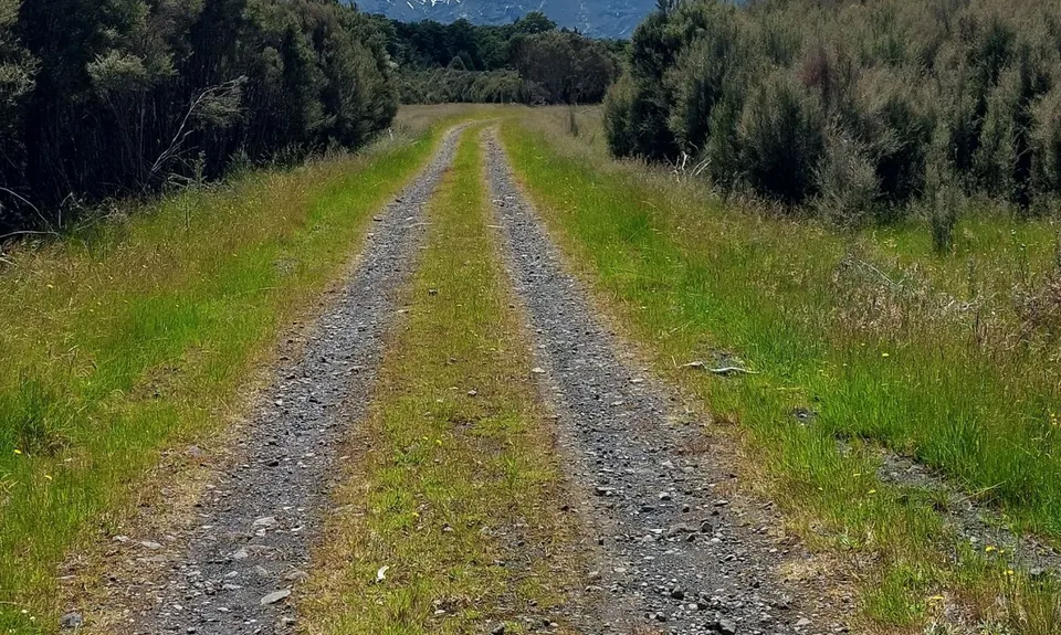
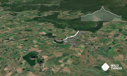
From 10.3km to 13km, the track is on private land on a working farm, so keep to the gravel track and leave gates how you find them. No landowner permission or permits are required. The trail comes out at Lahar Farms (192 Matapuna Road). The farm gate is closed with no vehicle access. At this point on Matapuna you can get a pick up or continue to 14.5km Horopito/Old Coach Road carpark along Matapuna Road.

At Horopito the Old Coach Road trail (mix of easy to follow gravel track & single track) can be followed back to Ohakune with the Marshall’s Road carpark at 26km the end of the main trail. Follow the Old Coach marker posts on Marshall’s Road and Old Station Rd back to the PowerKeg at approx. 30km.

Route follows old historical farming, logging and coach trails. Includes National Parknative forest and bird life. Old farm structures and logging equipment can be found.

Public parking available on Thames Street, Ohakune.

2 km

4 minutes

No

No

Hard.

Veer west off main trail at track point S39.355407°, E175.440004° at 6.9km. Farm clearing at S39.351704°, E175.436409° at 7.5km. Track Junction at S39.347313°, E175.434020° at 8.4km.

Very patchy.

Thermal leggings, Long-sleeved thermal top, Seam-sealed waterproof jacket, Windproof jacket, Gloves, Beanie/thermal headwear, Personal Locator Beacon (PLB), Whistle, First aid kit, Extra food for emergencies, Survival bag, Cellphone, Compass, Map, Headtorch and spare batteries

Streams to top up en-route - drink at your own risk.

Cold in winter with some exposed sections. Elevation 600-1000m so can be cold any time of year. Not high up mountain so year round access except in heavy snow.

Some areas of rough terrain in untracked sections with thick scrub. Areas of cliffs, bluffs and volcanic terrain near track so care required. Flats have long grass with some holes so care required.

PowderKeg
Start/end of loop
https://maps.app.goo.gl/spNaHyZTa8wXF5nW7
Nice on the upper deck for a beer when finished

You and Ohakune-Horopito Powderkeg Loop

As a VIP member you can record private notes for this trail, see all of your times and more.

Register Now

Already have an account? Login now

Trail Reviews

Be the first to submit a review for Ohakune-Horopito Powderkeg Loop!

Login to submit a review

Trail Running Community

Find people who are interested in or have completed this trail run.

You must register or login to view this feature.

Register Now

Overlapping Trails

These overlap with this trail to some degree. You may wish to combine them but please note that to qualify for FKTs on these runs you should record a separate activity for each.

Old Coach Road Ohakune - return trip

Old Coach Road Ohakune - return trip

Length: 20.0km

Level: Beginner - Intermediate

Old Coach Road Ohakune - return trip

Old Coach Road Ohakune - return trip

Length: 20.0km

Level: Beginner - Intermediate

Other trails nearby
Horopito Schmito

Horopito Schmito

Length: 16.0km

Level: Beginner - Intermediate

Blyth Hut and Beyond

Blyth Hut and Beyond

Length: 21.5km

Level: Intermediate

RTM - East & North

RTM - East & North

Length: 45.0km

Level: Experienced

Ohakune Town/Forest Loop

Ohakune Town/Forest Loop

Length: 11.3km

Level: Beginner

Find more trails and peaks nearby