Last Updated: 6th Apr 2026
RTM - East & North
Last Updated: 6th Apr 2026
Open
Grunt Factor: 87 ?
Gnarl Factor: 61 ?
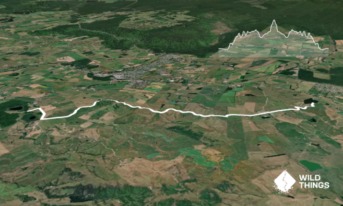
45.0km
2140m
2175m
1551m
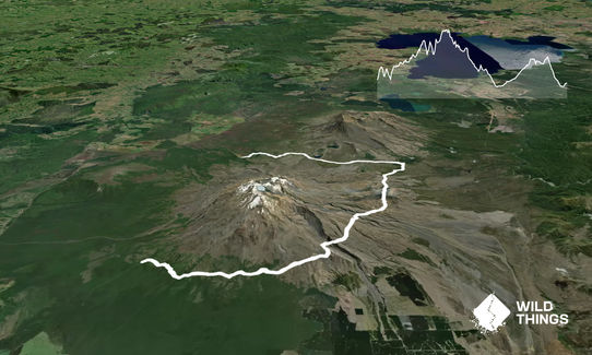
Trail Map
This Topo layer only covers NSW/ACT.
Switch to another map layer when viewing outside this area.
Switch to another map layer when viewing outside this area.