Last Updated: 3rd Jun 2026
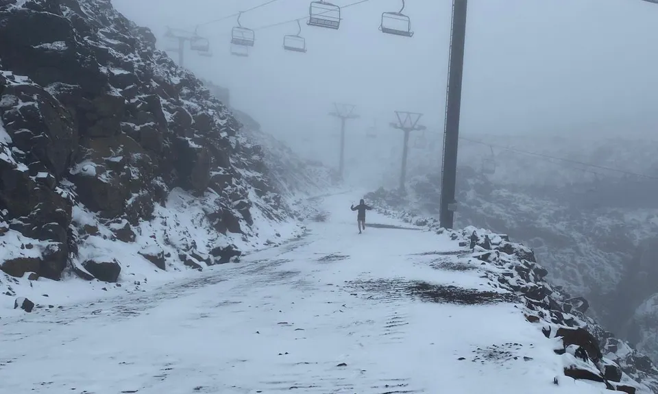
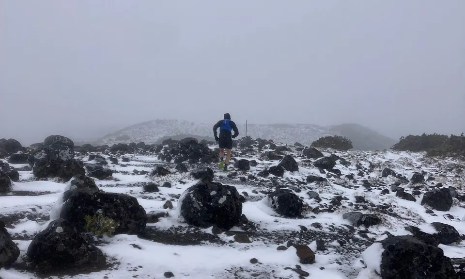
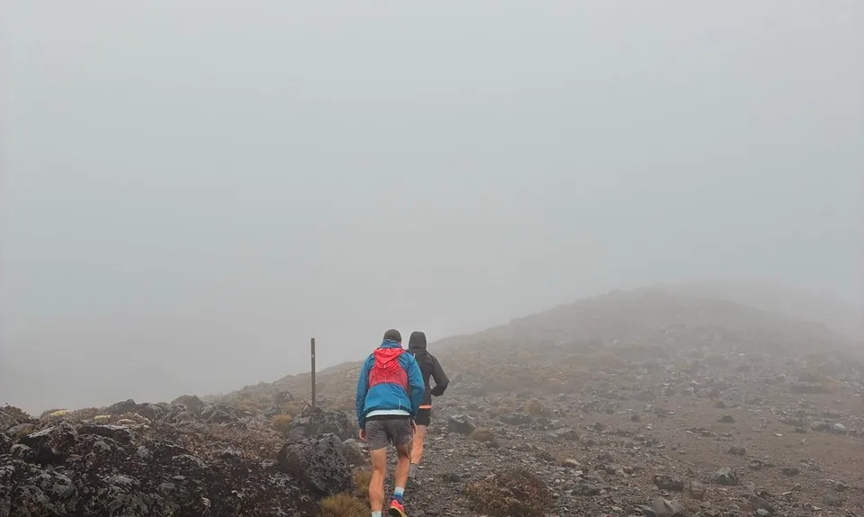
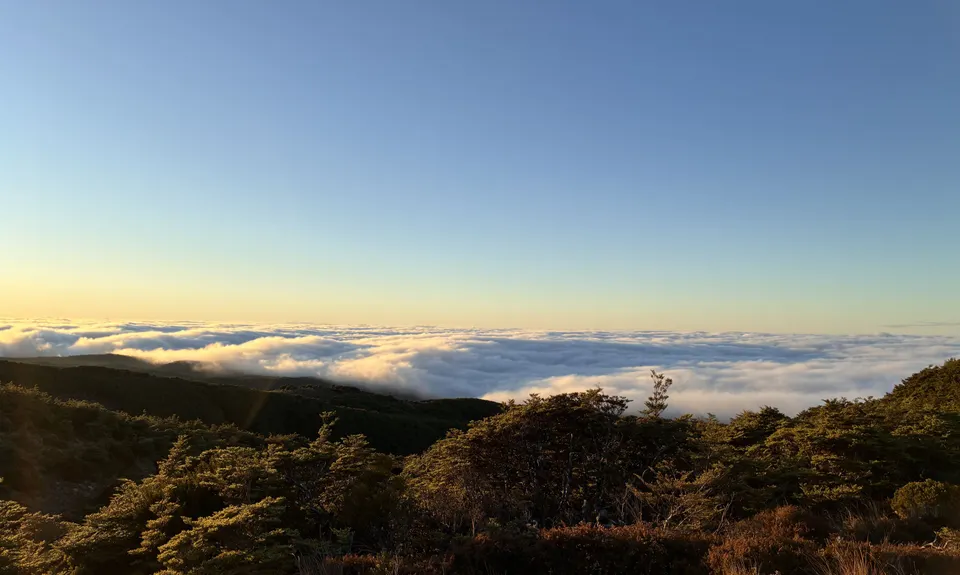
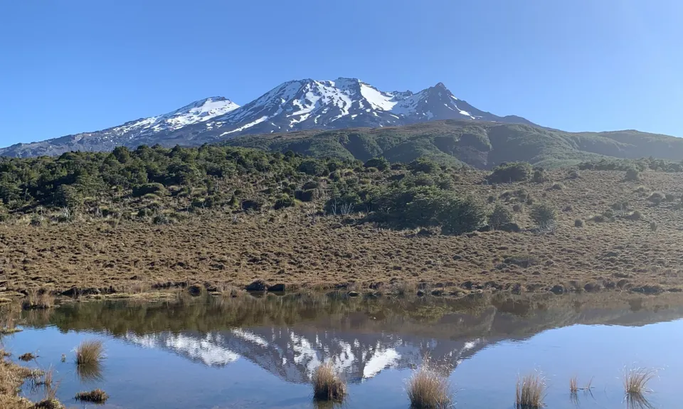
Blyth Alpine Loop
Solid alpine loop on a mix of trail with some good vert and fast downhill
Blyth Hut, Turoa, Waitonga Falls
Waitonga Falls track, Blyth Track
Last Updated: 3rd Jun 2026
Grunt Factor: 22 ?
Gnarl Factor: 43 ?
13.2km
785m
795m
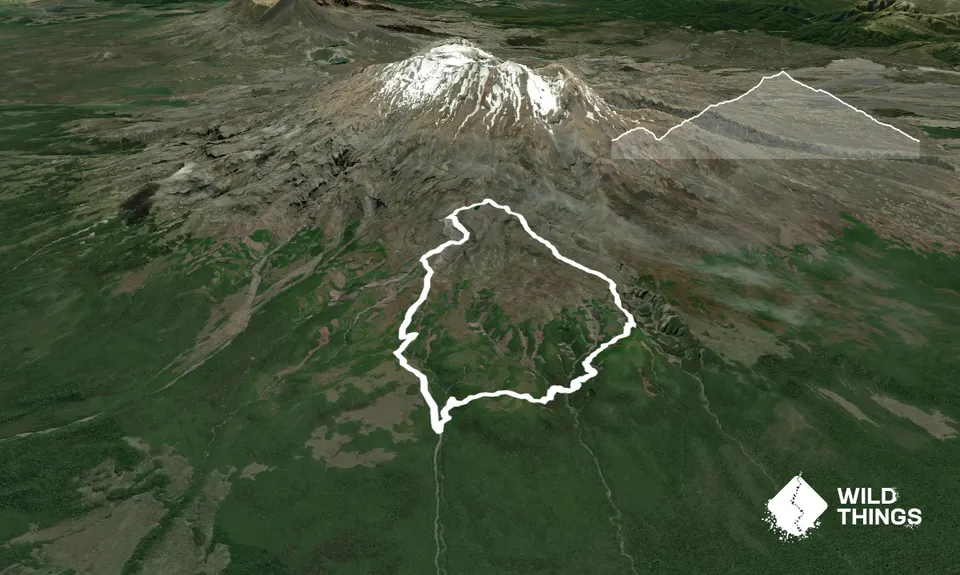
Trail Map
This Topo layer only covers NSW/ACT.
Switch to another map layer when viewing outside this area.
Switch to another map layer when viewing outside this area.