Last Updated: 24th May 2026
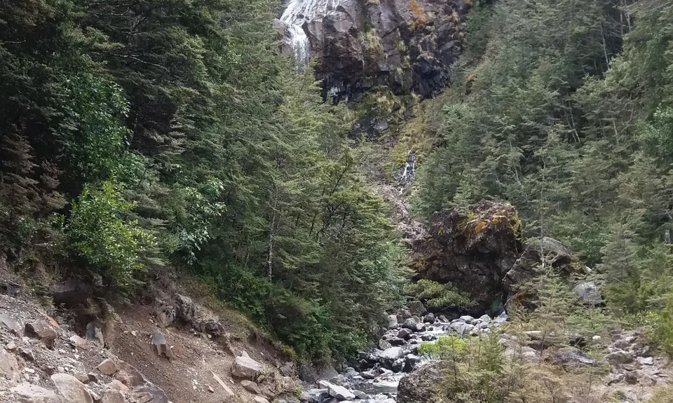
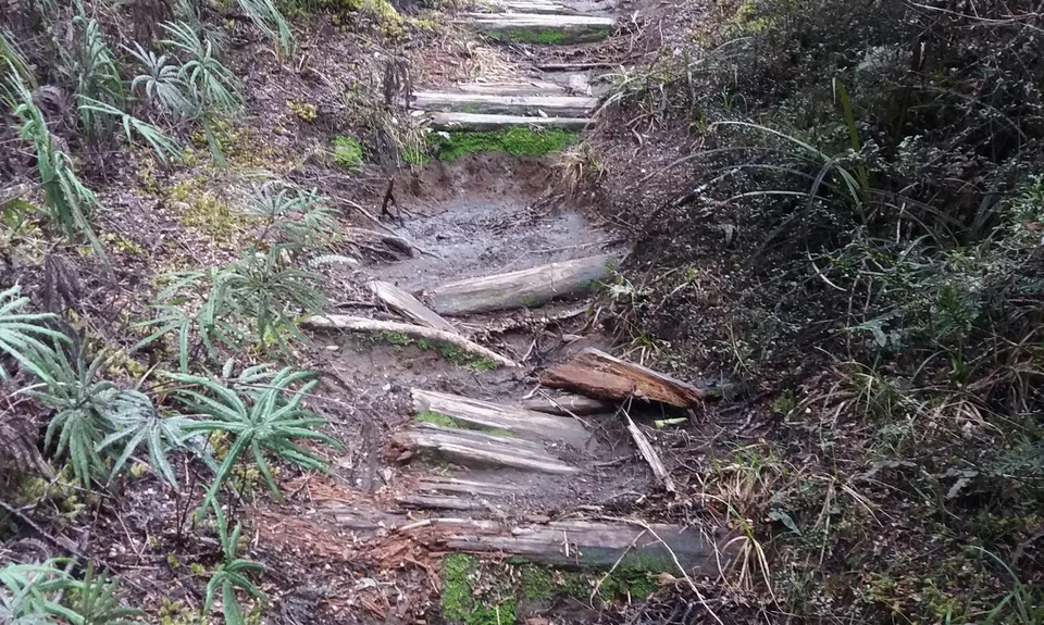
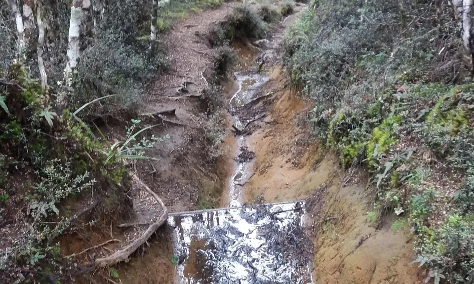
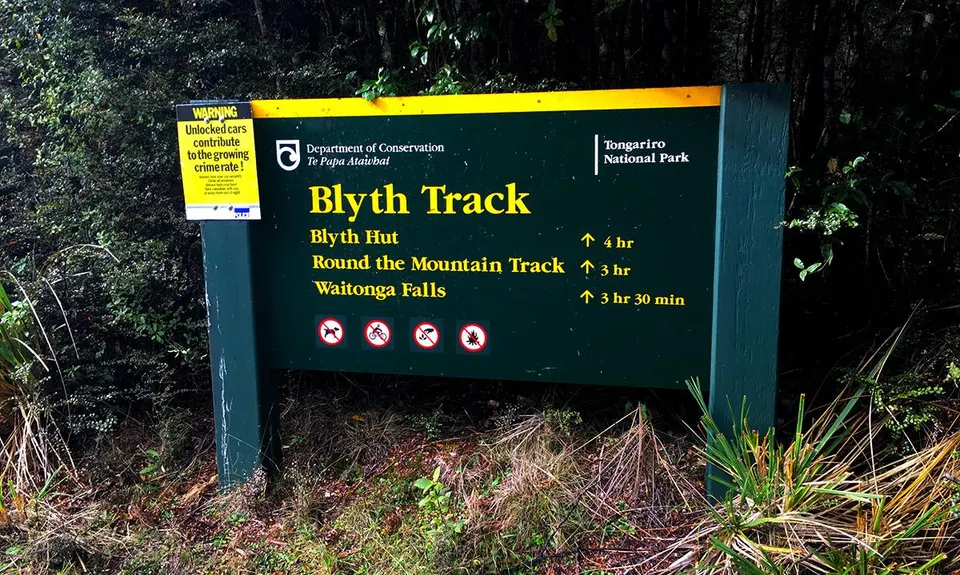
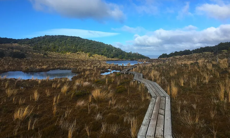
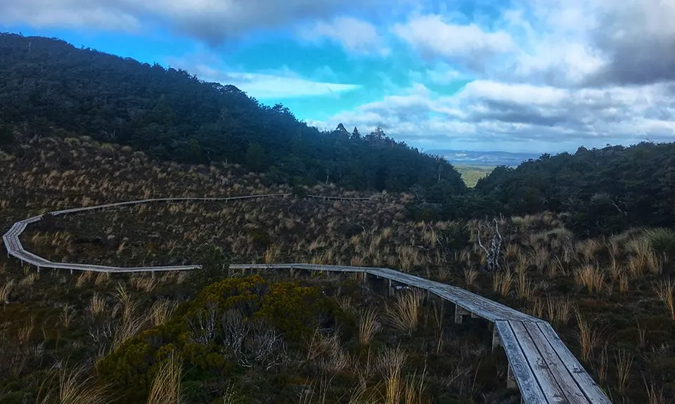
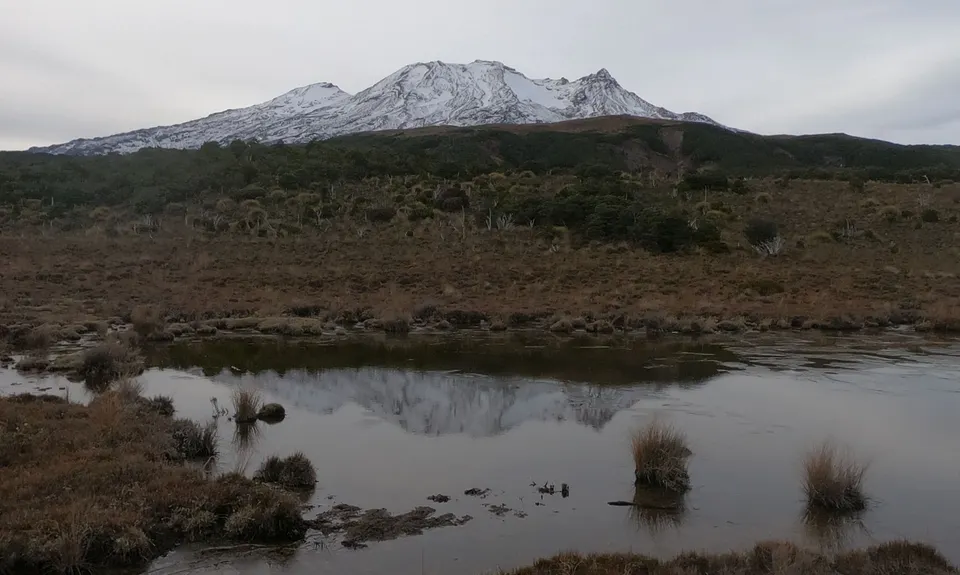
Blyth Hut and Beyond
Last Updated: 24th May 2026
Open
Grunt Factor: 39 ?
Gnarl Factor: 51 ?
21.5km
1160m
1160m
1690m

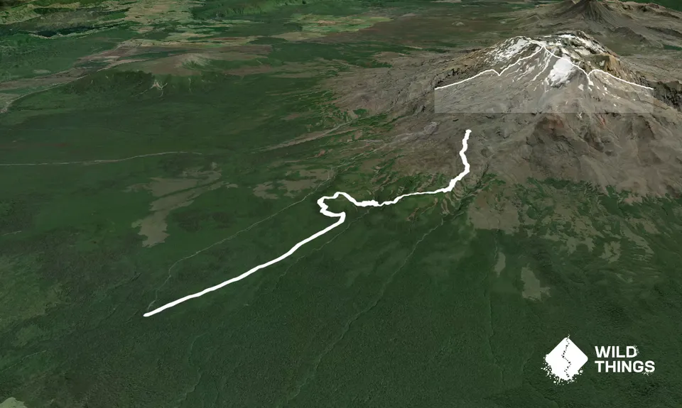
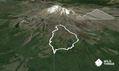
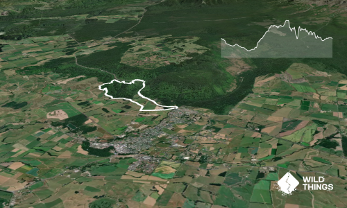
Trail Map
This Topo layer only covers NSW/ACT.
Switch to another map layer when viewing outside this area.
Switch to another map layer when viewing outside this area.