Last Updated: 7th Jan 2026
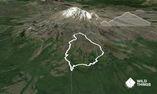
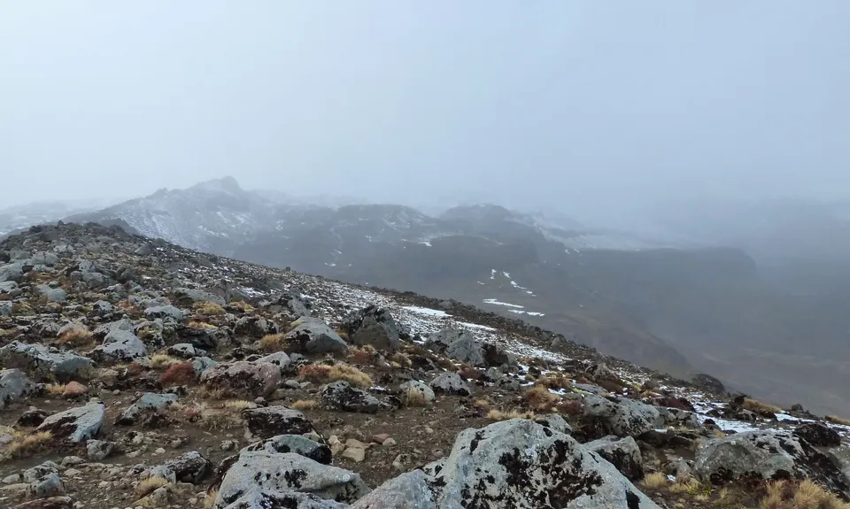
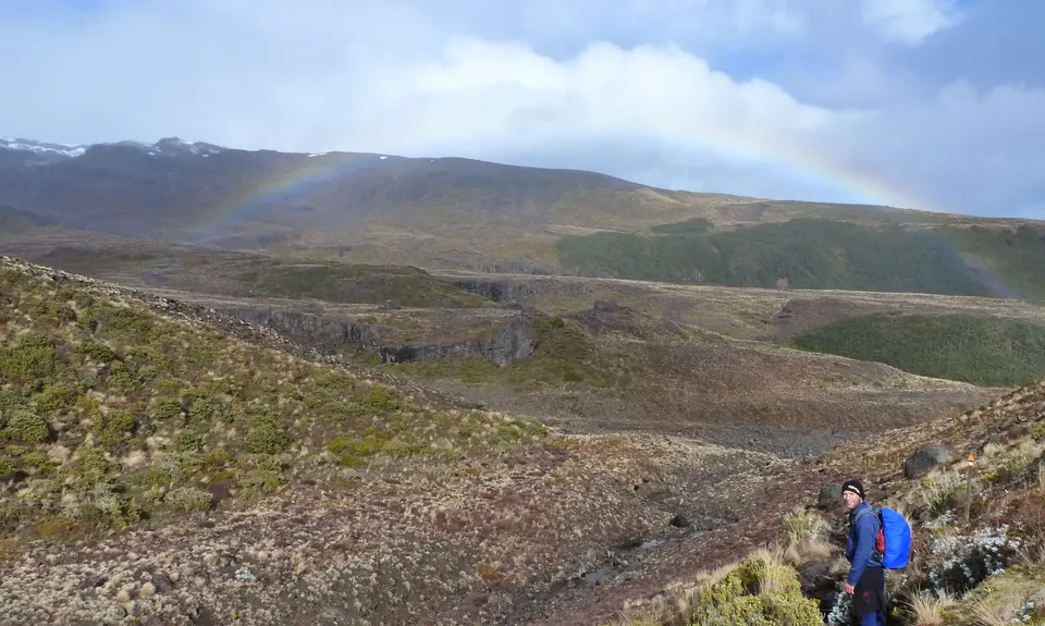
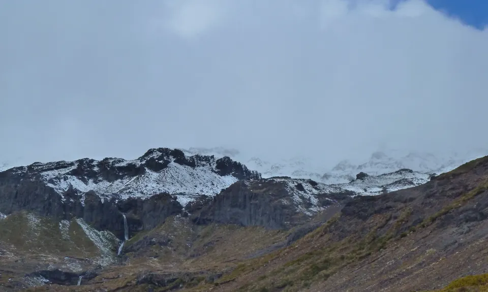
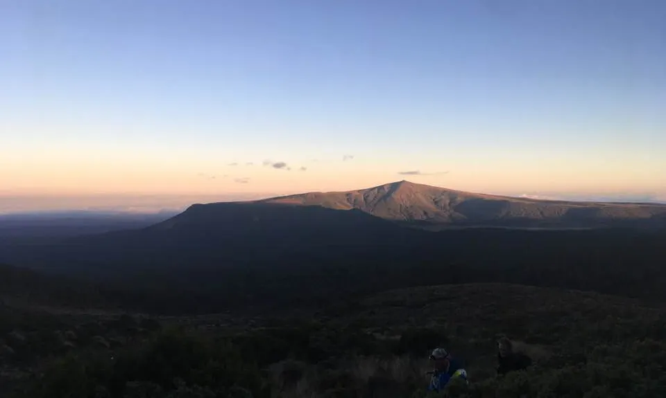
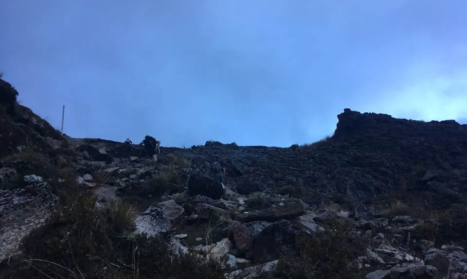
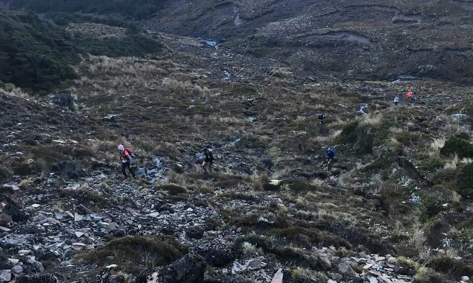
Ruapehu - West Side
Last Updated: 7th Jan 2026
Open
Grunt Factor: 35 ?
Gnarl Factor: 65 ?
19.6km
960m
960m
1630m


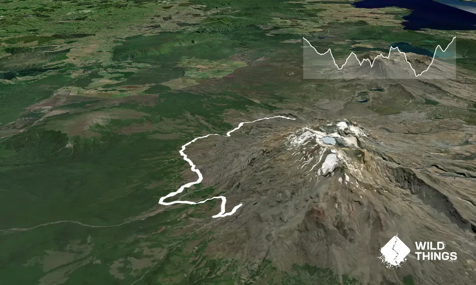
Trail Map
This Topo layer only covers NSW/ACT.
Switch to another map layer when viewing outside this area.
Switch to another map layer when viewing outside this area.