Last Updated: 7th Jun 2026
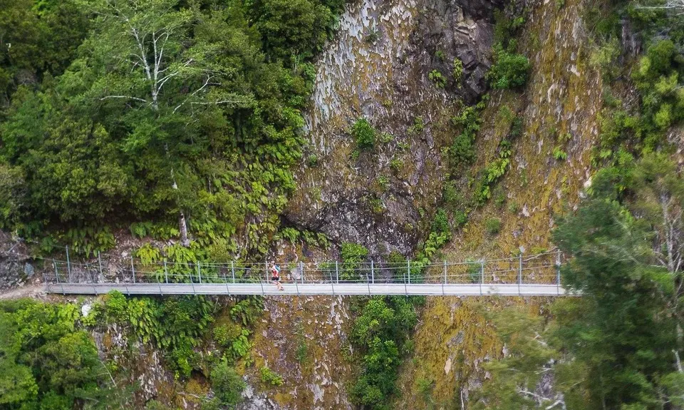
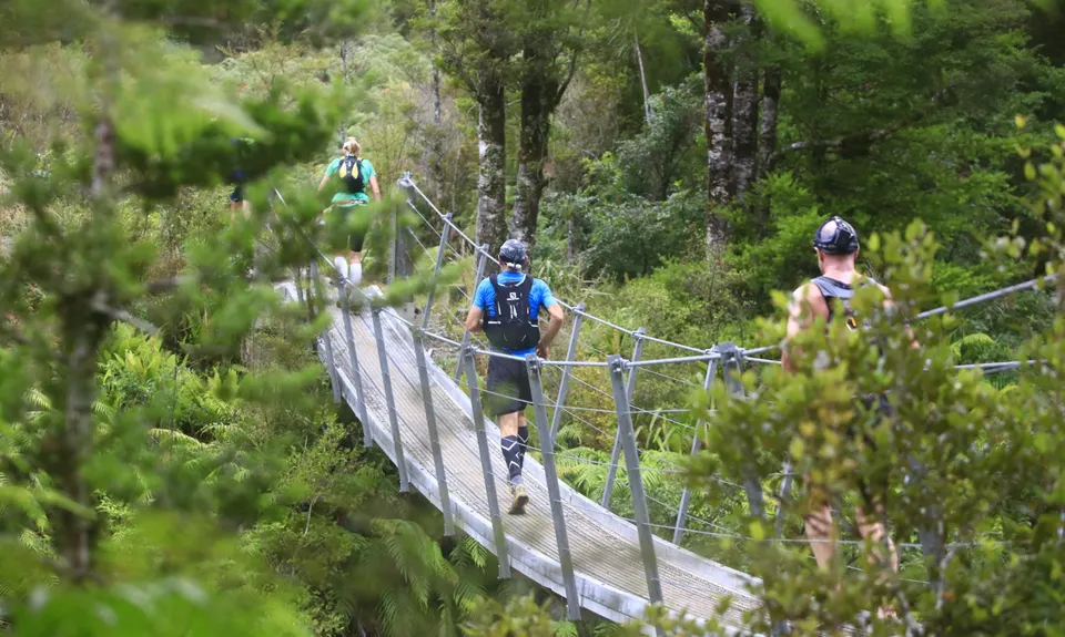
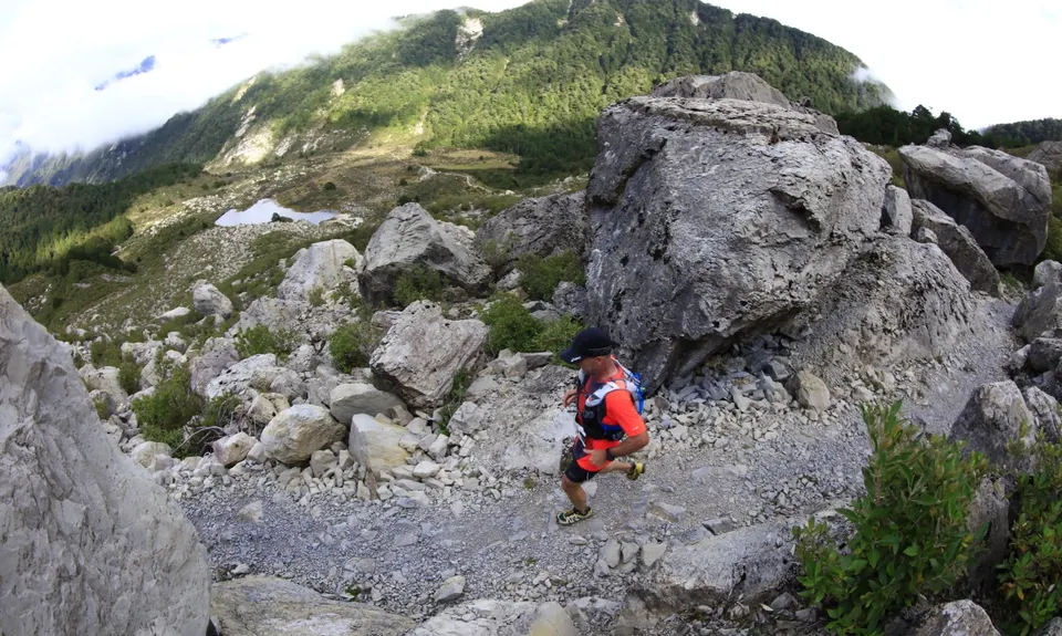
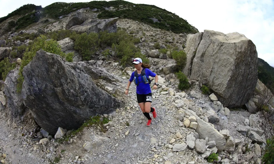
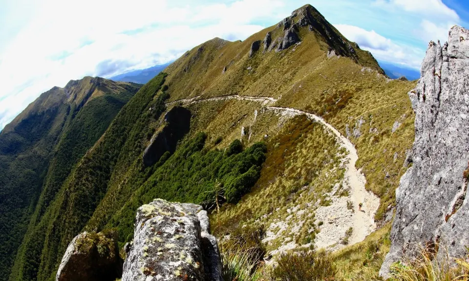
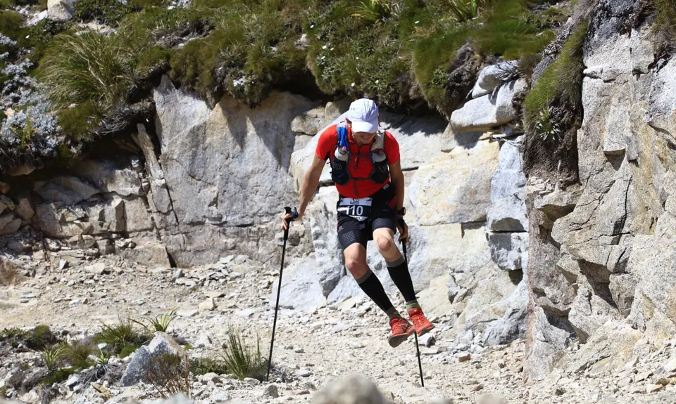
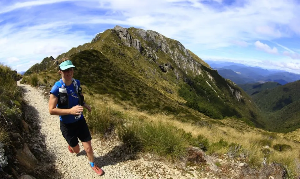
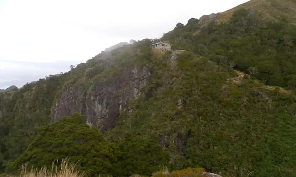
The Old Ghost Road
Last Updated: 7th Jun 2026
Open
Grunt Factor: 110 ?
Gnarl Factor: 29 ?
85.0km
2650m
2720m
1350m


-(1024x683).jpg)
-(1024x683).jpg)
-(1024x728).jpg)
-(1024x683).jpg)
-(1024x671).jpg)
-(1024x641).jpg)
.jpg)
.jpg)
.jpg)
.jpg)
.jpg)
.jpg)
.jpg)
.jpg)
.jpg)


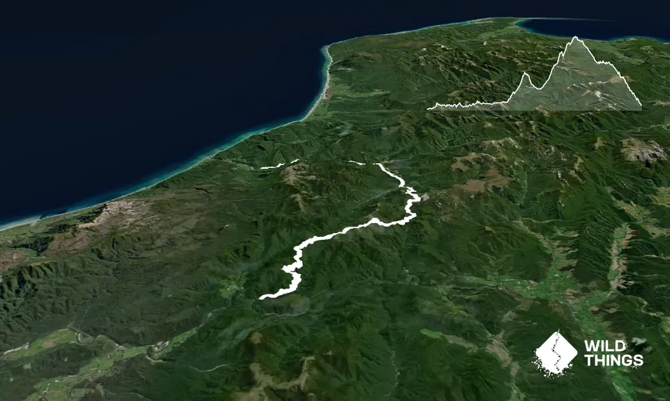
Trail Map
This Topo layer only covers NSW/ACT.
Switch to another map layer when viewing outside this area.
Switch to another map layer when viewing outside this area.


