Last Updated: 19th Mar 2024
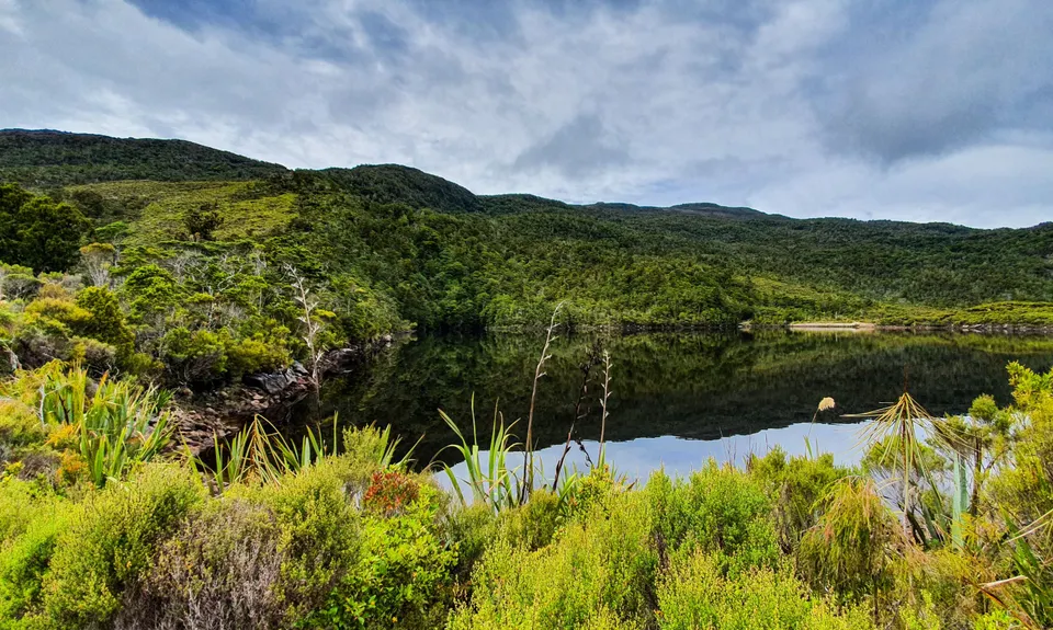
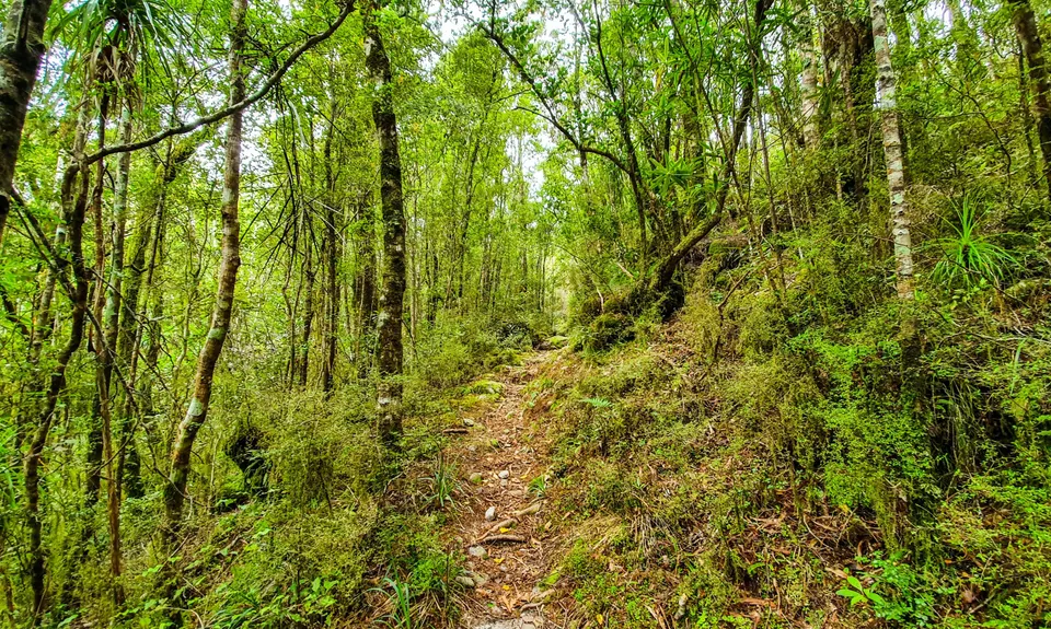
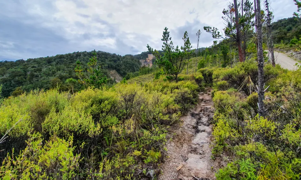
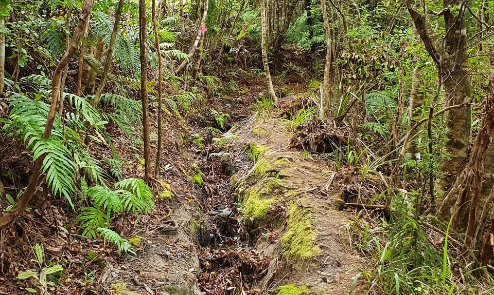
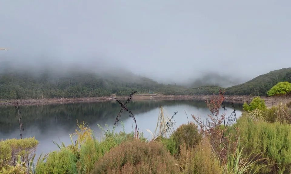
Lake Rochfort Ramble
Last Updated: 19th Mar 2024
Open
Grunt Factor: 15 ?
Gnarl Factor: 58 ?
6.5km
490m
490m
468m


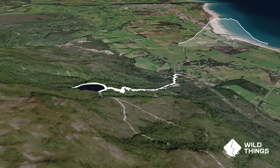
Trail Map
This Topo layer only covers NSW/ACT.
Switch to another map layer when viewing outside this area.
Switch to another map layer when viewing outside this area.


