Last Updated: 28th Dec 2023
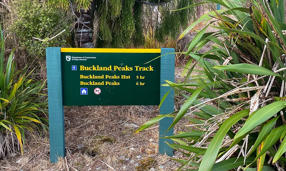
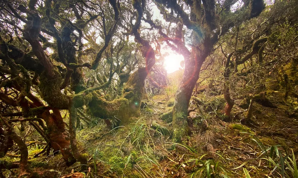
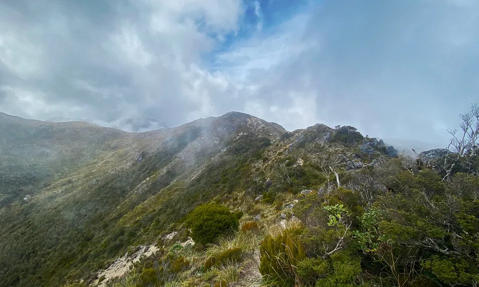
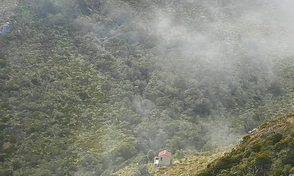
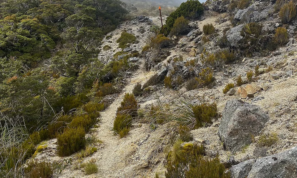
Buckland Peaks
Last Updated: 28th Dec 2023
Open
Grunt Factor: 40 ?
Gnarl Factor: 49 ?
22.0km
1345m
1345m
1100m
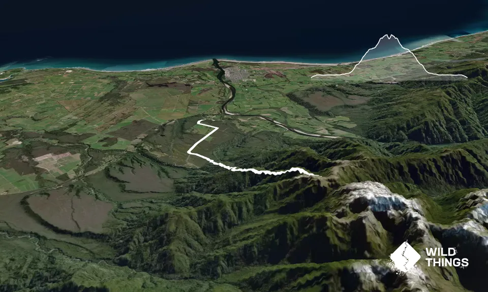
Trail Map
This Topo layer only covers NSW/ACT.
Switch to another map layer when viewing outside this area.
Switch to another map layer when viewing outside this area.


