Last Updated: 21st Mar 2026
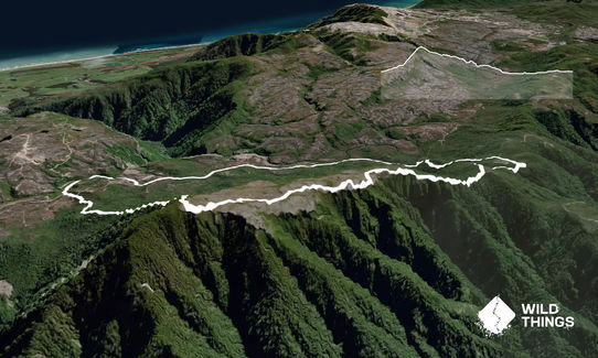
Mt William Loop
Last Updated: 21st Mar 2026
Open
Grunt Factor: 26 ?
Gnarl Factor: 62 ?
12.9km
720m
720m
1067m
Trail Map
This Topo layer only covers NSW/ACT.
Switch to another map layer when viewing outside this area.
Switch to another map layer when viewing outside this area.


