Last Updated: 21st Sep 2023
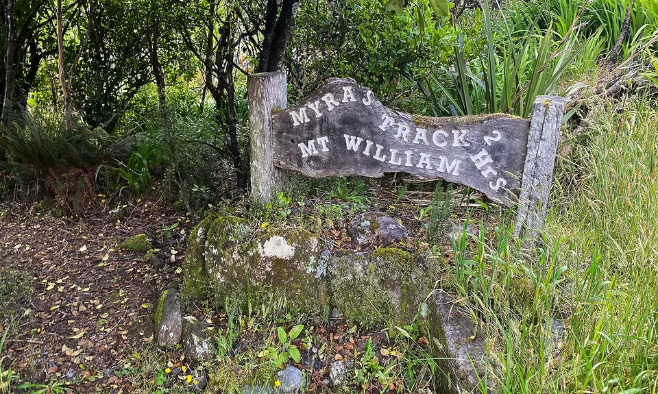
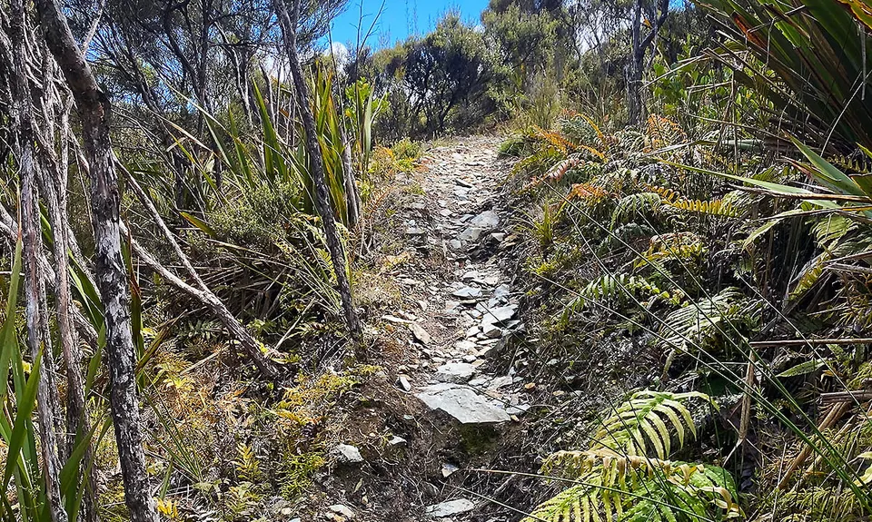
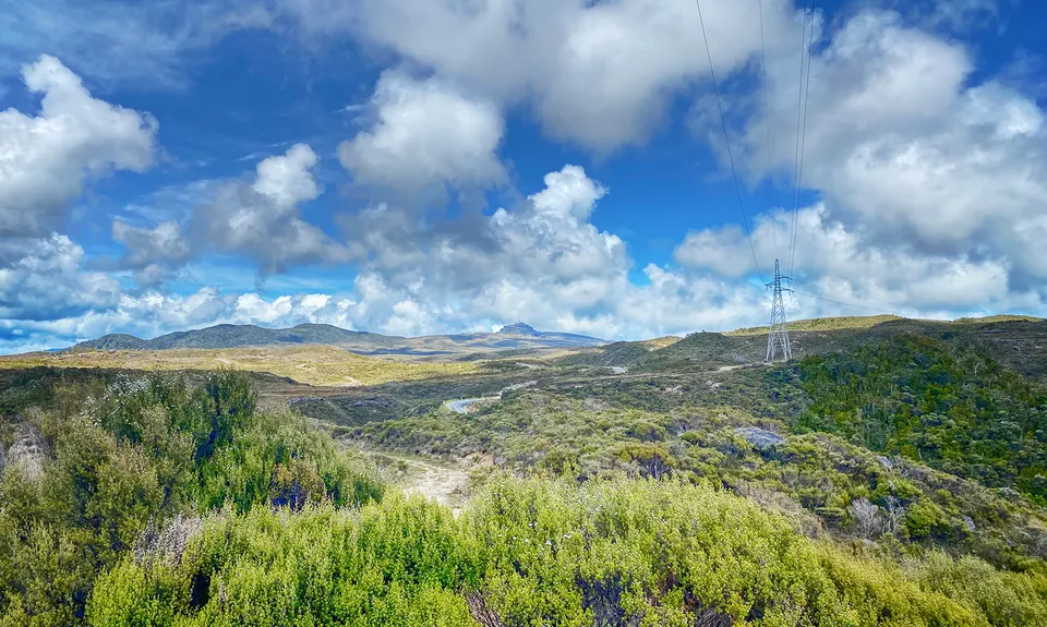
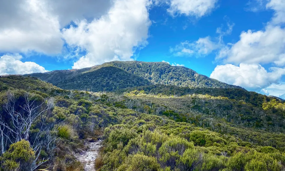
Myra's Track plus a bit
Last Updated: 21st Sep 2023
Open
Grunt Factor: 18 ?
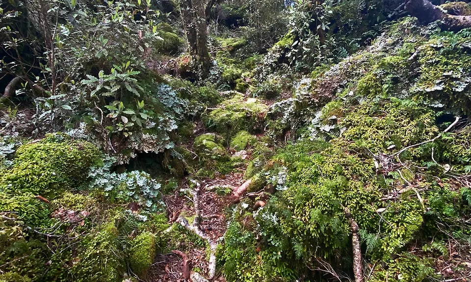
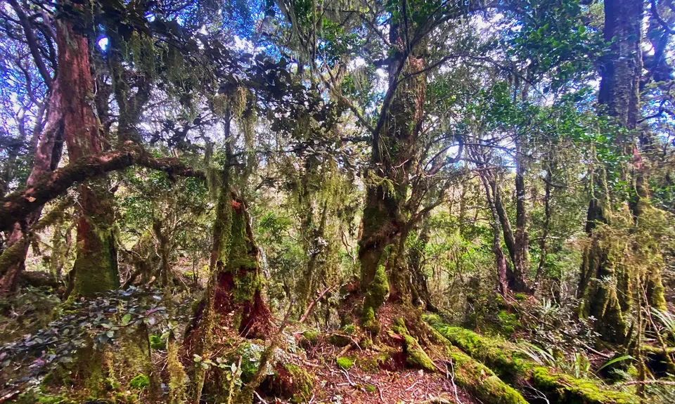
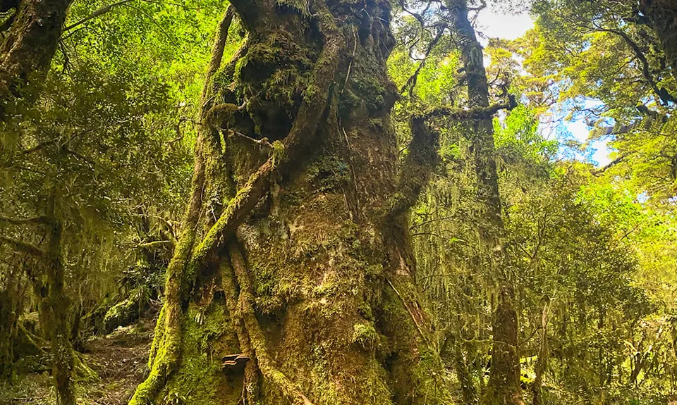
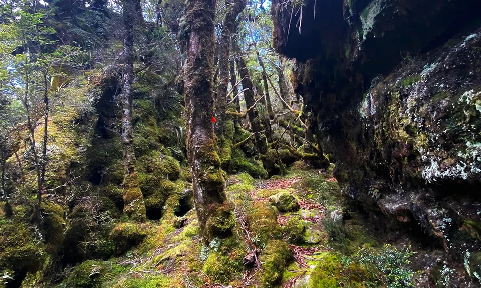
Gnarl Factor: 60 ?
8.5km
550m
550m
1052m
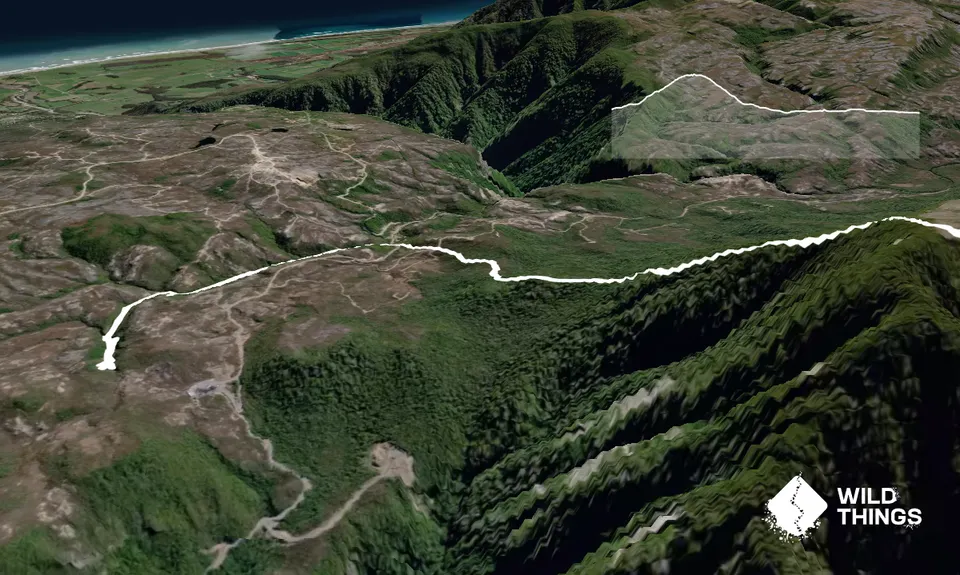
Trail Map
This Topo layer only covers NSW/ACT.
Switch to another map layer when viewing outside this area.
Switch to another map layer when viewing outside this area.


