Last Updated: 28th Apr 2025
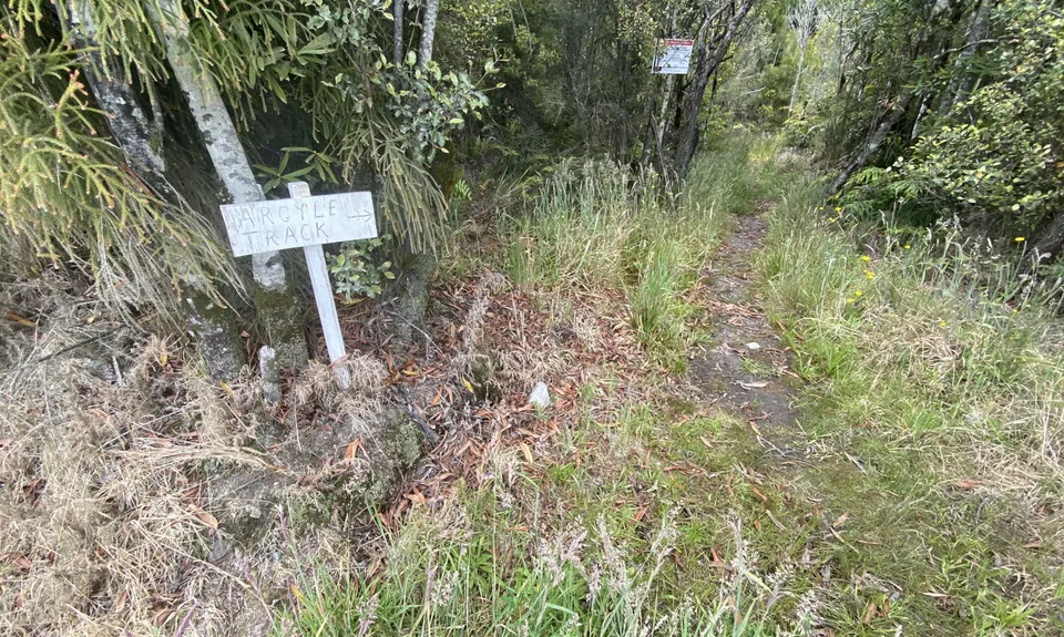
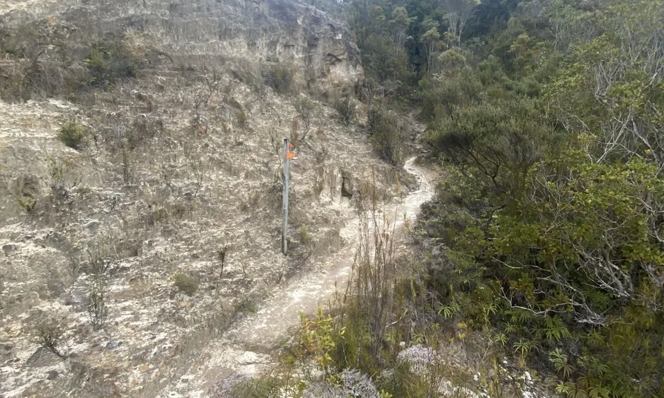
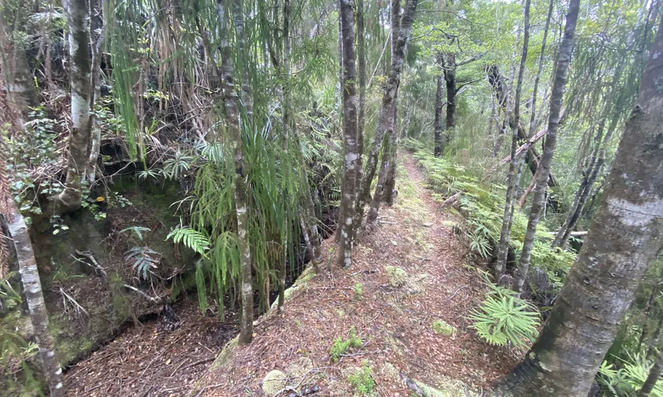
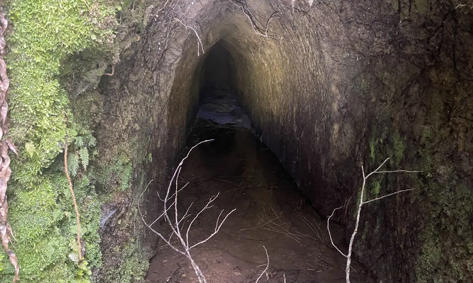
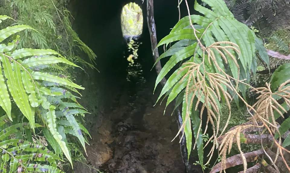
The Argyle
Last Updated: 28th Apr 2025
Open
Grunt Factor: 19 ?
Gnarl Factor: 58 ?
12.0km
390m
390m
180m


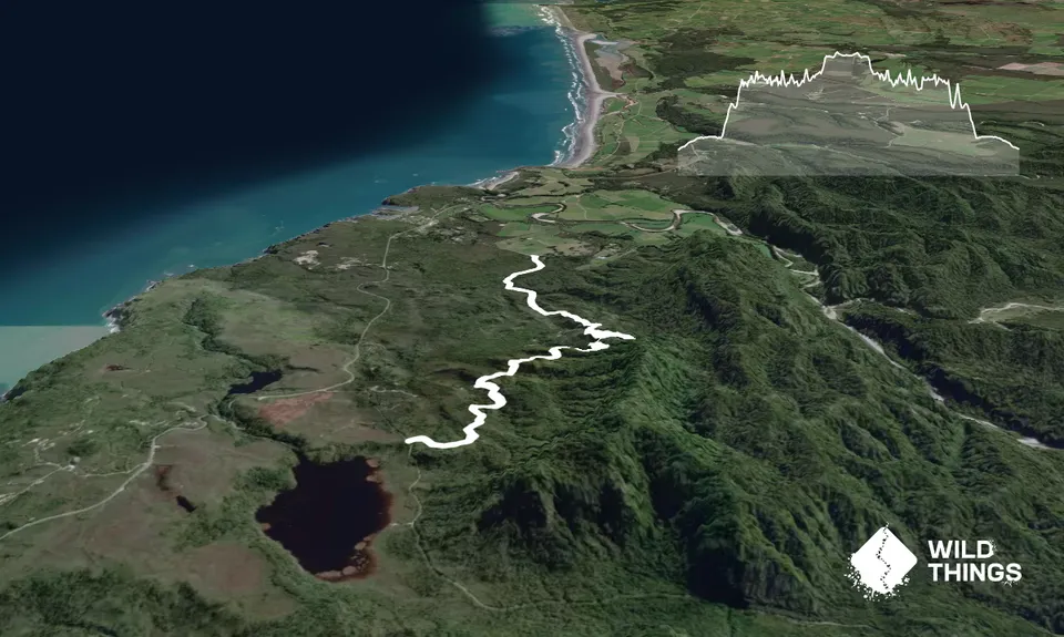
Trail Map
This Topo layer only covers NSW/ACT.
Switch to another map layer when viewing outside this area.
Switch to another map layer when viewing outside this area.


