Last Updated: 21st Sep 2023
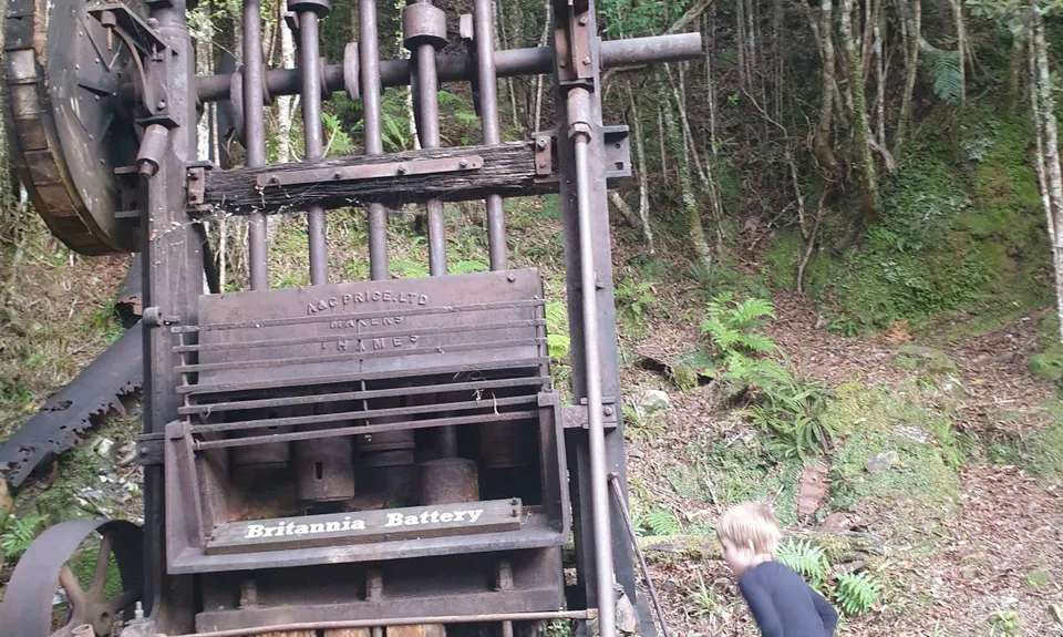
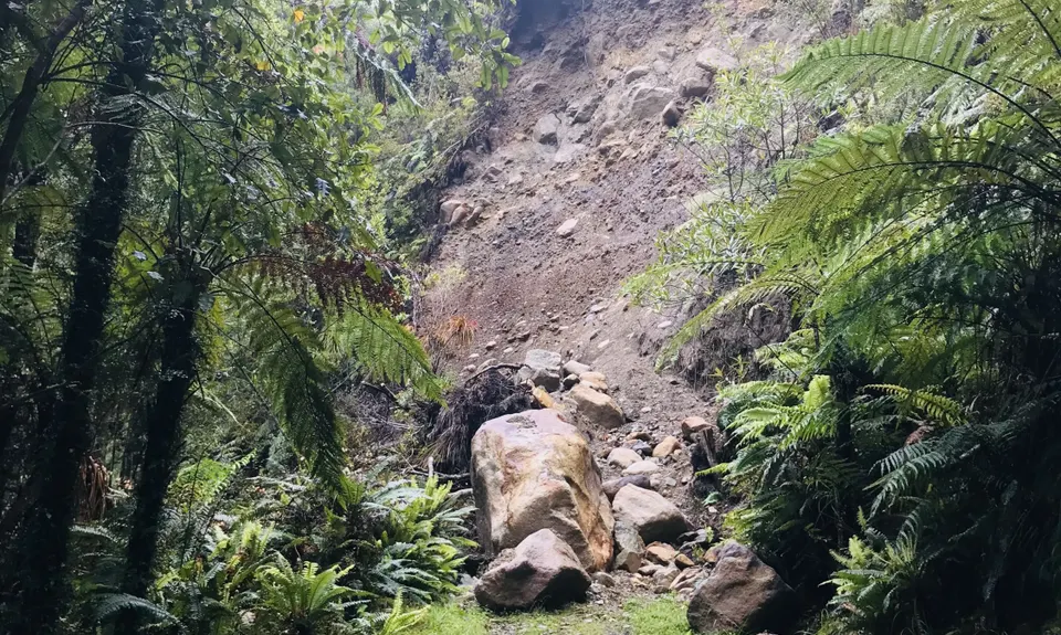
Brittania Track
Last Updated: 21st Sep 2023
Closed More info
Grunt Factor: 16 ?
Gnarl Factor: 41 ?
8.9km
500m
500m
532m
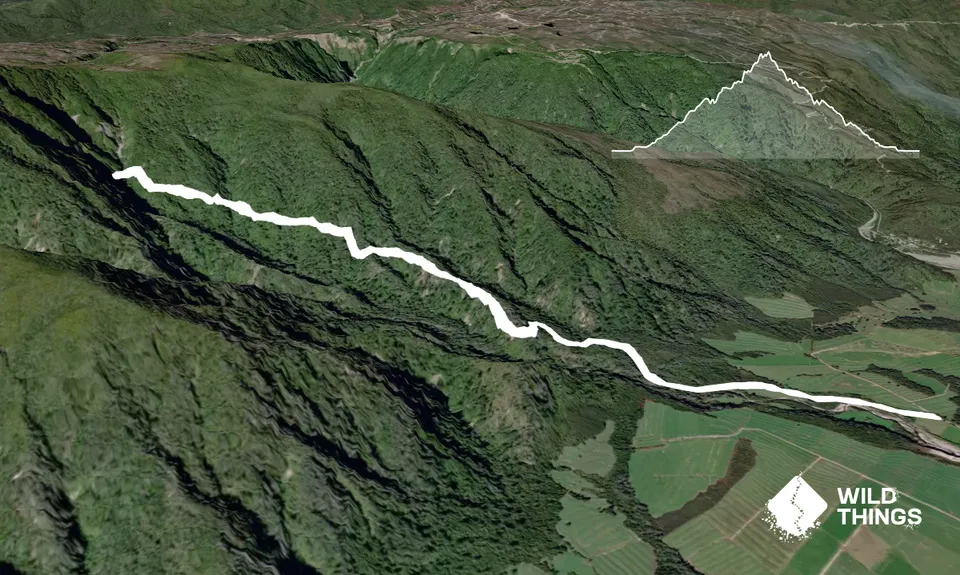
Trail Map
This Topo layer only covers NSW/ACT.
Switch to another map layer when viewing outside this area.
Switch to another map layer when viewing outside this area.


