Last Updated: 15th Jul 2025
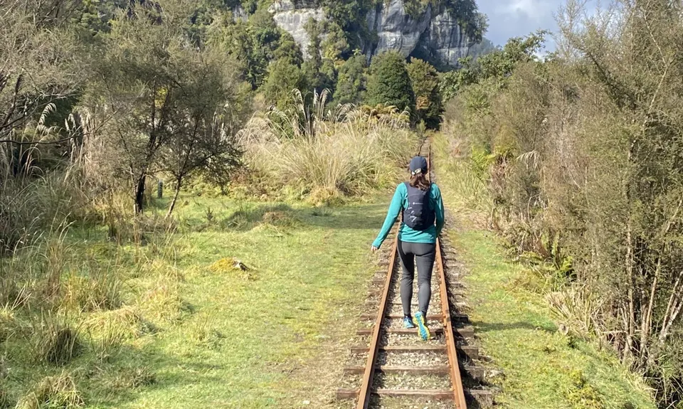
The Nile
Last Updated: 15th Jul 2025
Open
Grunt Factor: 7 ?
Gnarl Factor: 34 ?
5.3km
30m
30m
55m

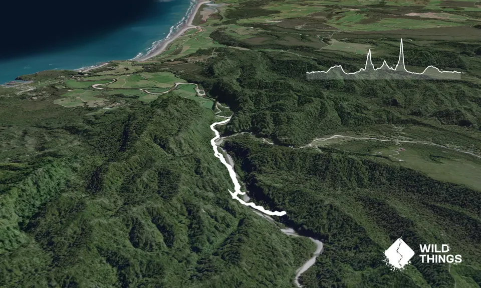
Trail Map
This Topo layer only covers NSW/ACT.
Switch to another map layer when viewing outside this area.
Switch to another map layer when viewing outside this area.