Last Updated: 25th Nov 2025
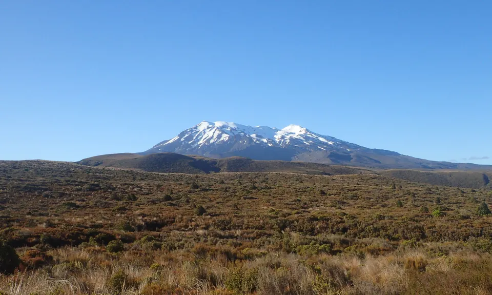
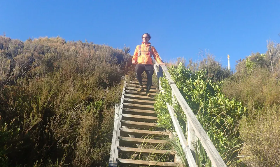
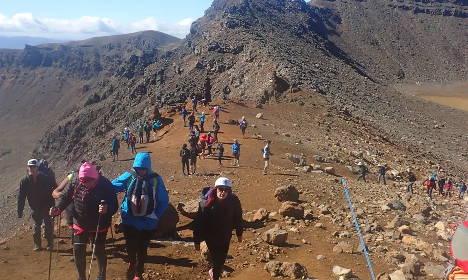
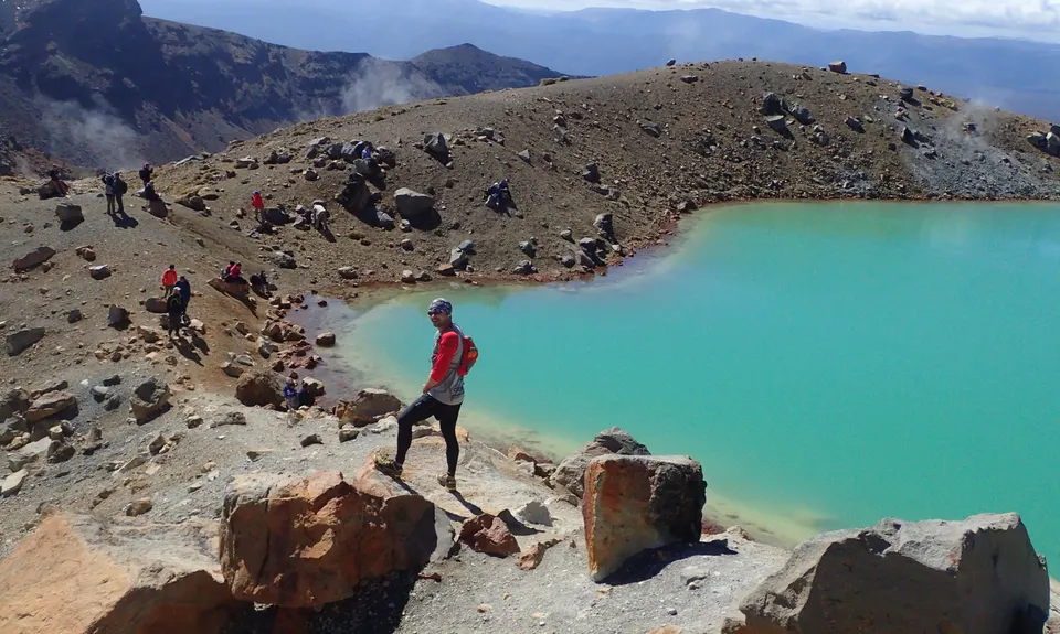
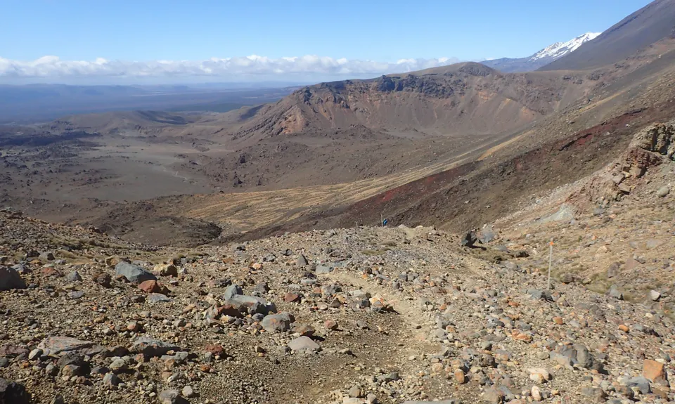
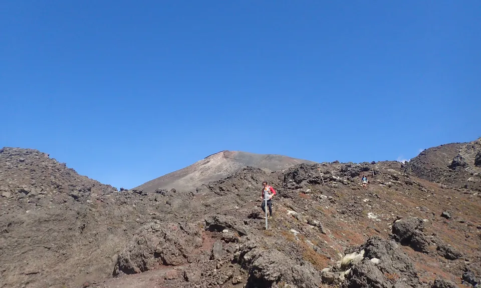
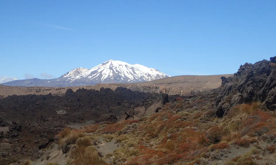
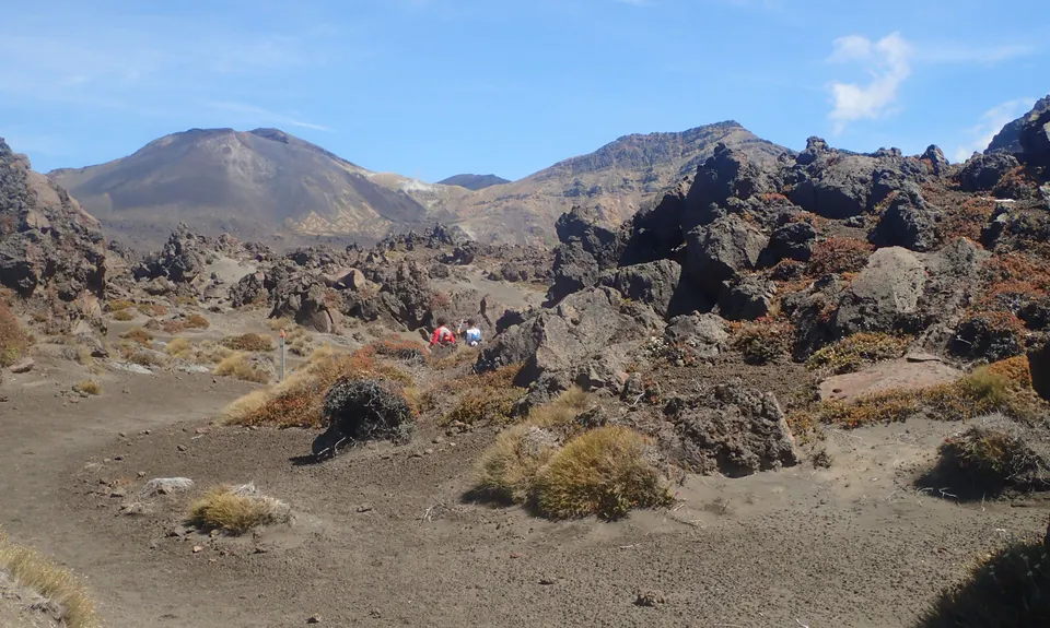
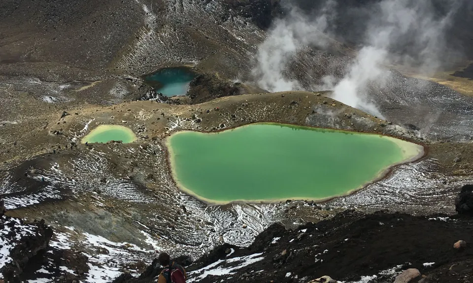
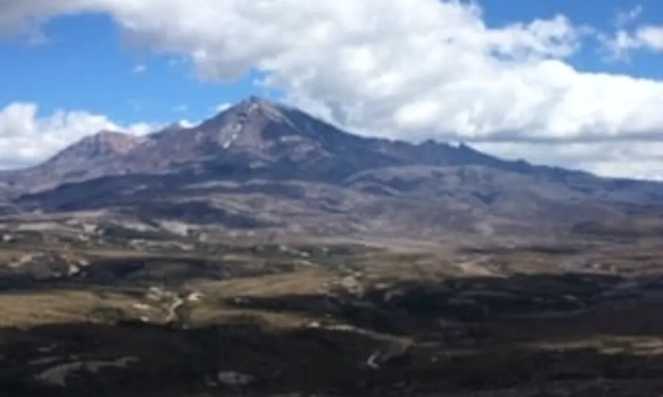
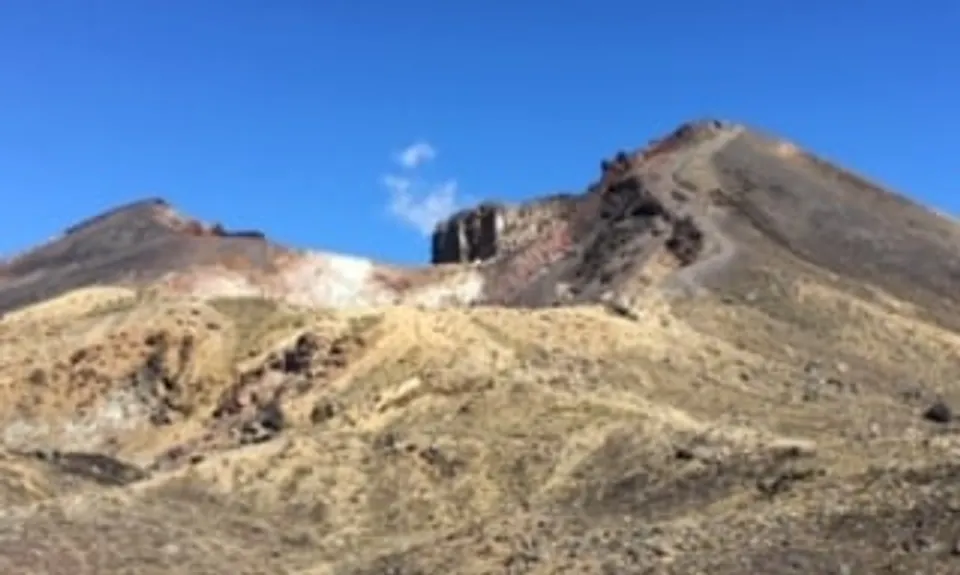
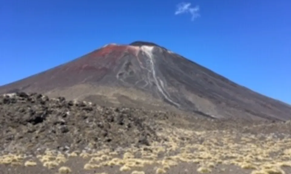
Tongariro Northern Circuit
Last Updated: 25th Nov 2025
Grunt Factor: 68 ?
Gnarl Factor: 35 ?
44.5km
1600m
1600m
1868m
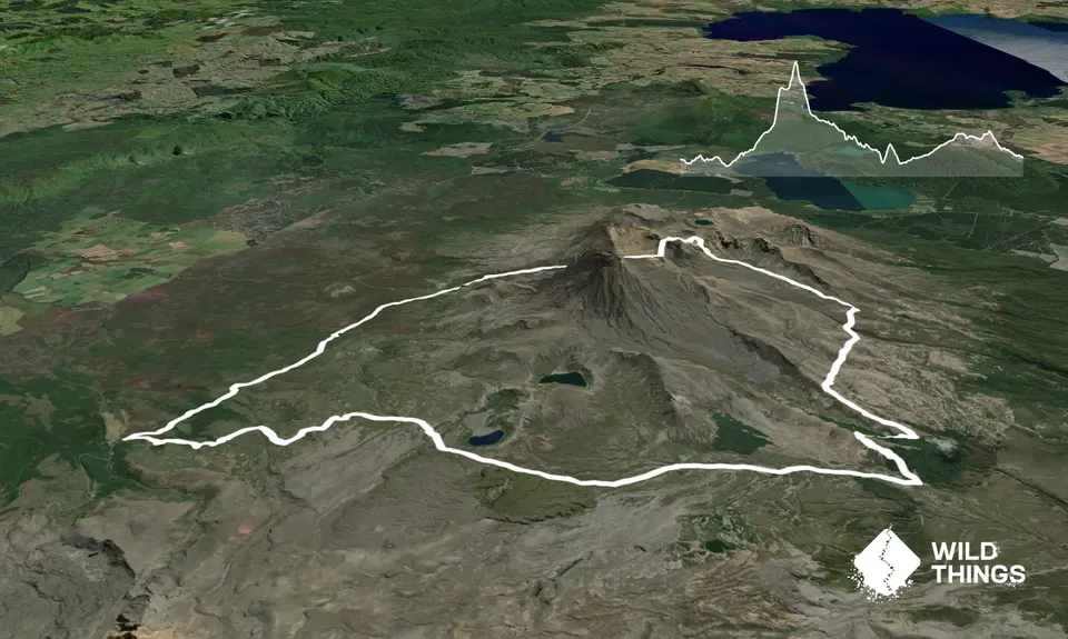
Trail Map
This Topo layer only covers NSW/ACT.
Switch to another map layer when viewing outside this area.
Switch to another map layer when viewing outside this area.


