Last Updated: 11th Sep 2026

Intermediate

Save Trail Save

I've done it Done

T42 Traverse

Submitted by Sarah Jackson

Last Updated: 11th Sep 2026

Intermediate

Save Trail Save

I've done it Done

Grunt Factor: 45 ?

Gnarl Factor: 7 ?

37.2km

940m

1450m

820m


Become a VIP to see driving directions, distance and time.

Trail Map

This Topo layer only covers NSW/ACT.
Switch to another map layer when viewing outside this area.

Type of Run

Back country - remote

Point to Point (one way)

Undulating, small hills only

Native bush

Open farmlands

Open tussock/grasslands

Run Makeup

85%
15%

Farm Road / 4WD Track

Easy Single Track

Average Uphill Gradient: +5.40%

Average Downhill Gradient: -5.90%

Garmin Course

VIP Feature: Send this route to your Garmin account so you can follow the course on your Garmin device.

Send to Garmin

Learn about sending to Garmin.

Trailhead

Become a VIP Member to see the trailhead information.

Estimated Times to Run

7:00

Slow

5:00

Moderate

3:30

Fast

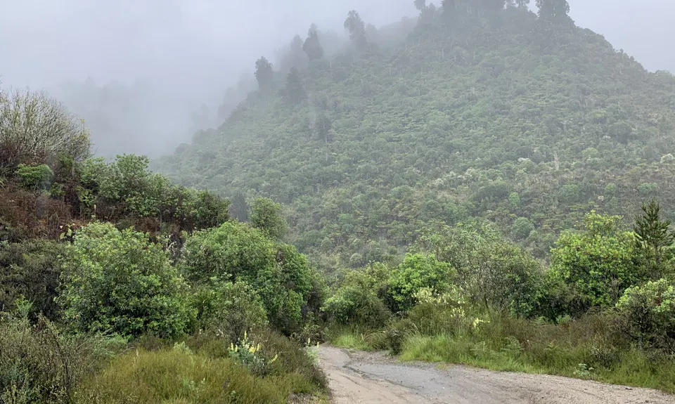
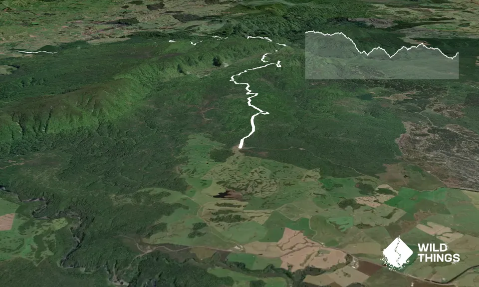
Follow the T42 Traverse signs and the obvious 4x4 track for most of the route through to Whakapapa River bridge. After crossing the bridge follow the road to Owhango.

NB as far as the bridge this follows the route of the 42 Traverse race but the trails used by the event to take competitors up the hill to Owhango are private. Please do not use them and stick to the road instead.

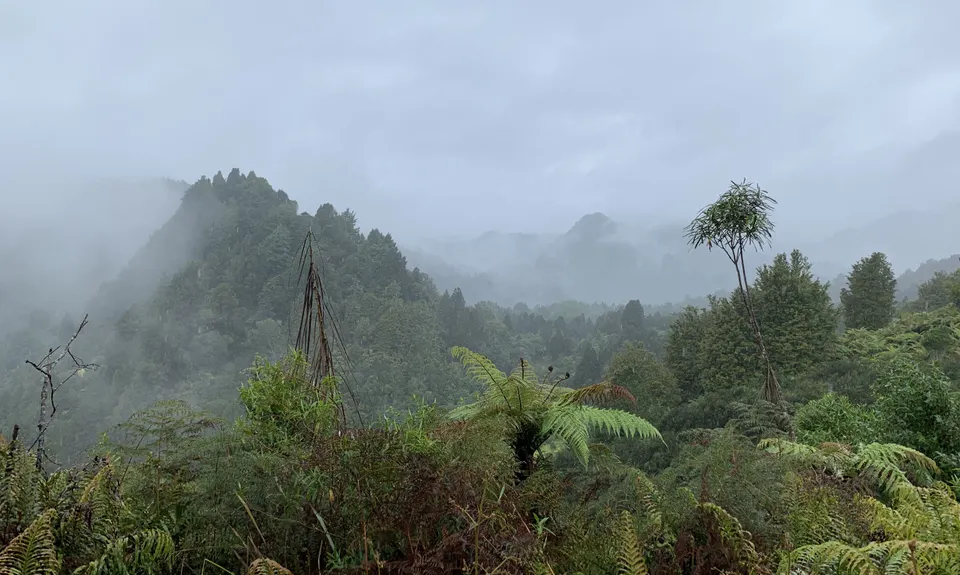
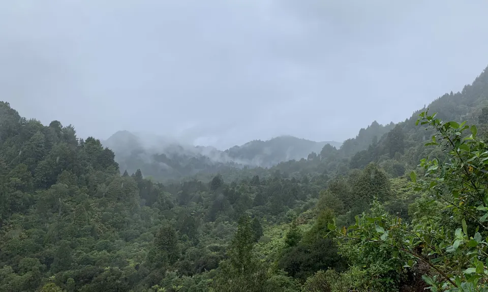
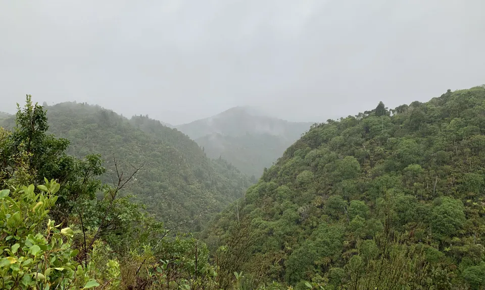
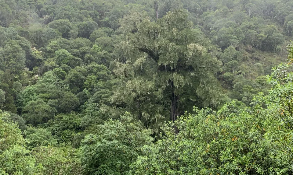
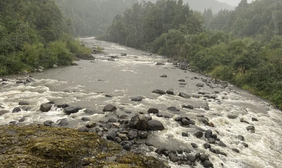
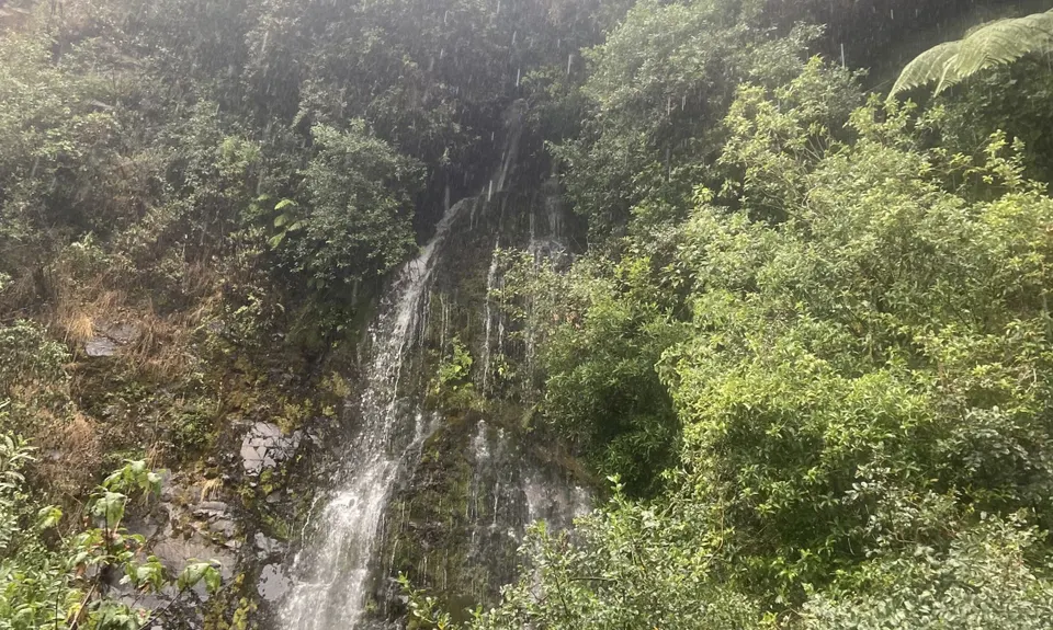
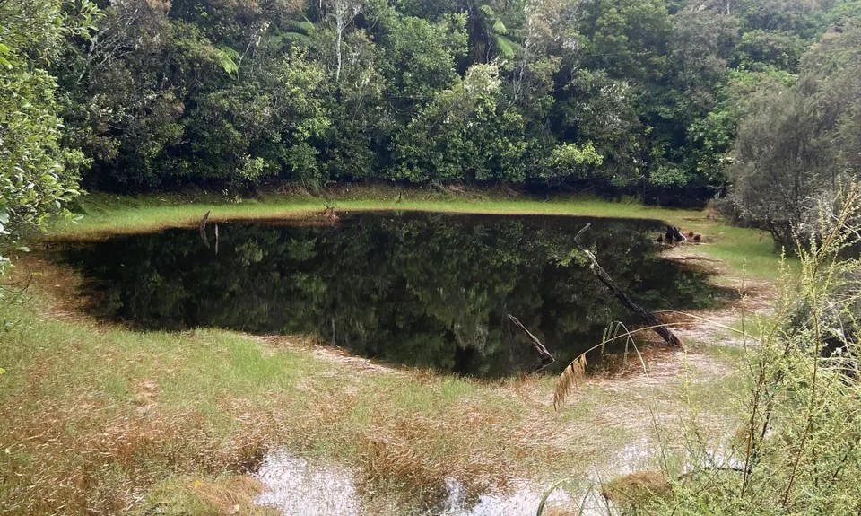
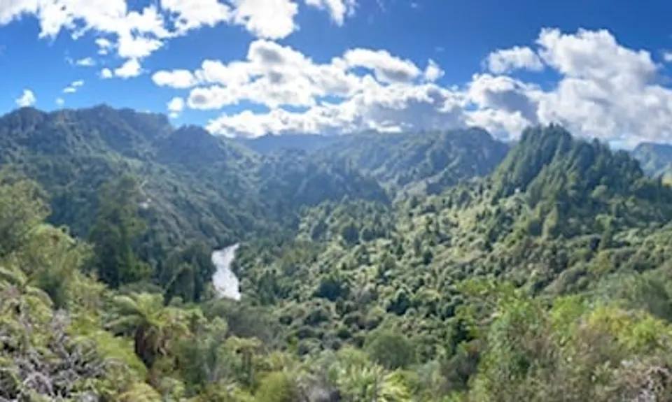
Great views from the track edges for much of the route, as well as distant views of volcanos. Nice stream crossings and stunning river towards end, plus a section of superb old-growth forest near the end.

If you know of any public toilets near the trail start or on the route, please login and then let us know so we can update this section.

You'll need a car at each end.

20 km

18 minutes

Unknown

Moderate.

Just keep an eye on the many 4WD junctions along the route!

Patchy.

Waterproof leggings, Long-sleeved thermal top, Seam-sealed waterproof jacket, Gloves, Beanie/thermal headwear, Personal Locator Beacon (PLB), Whistle, First aid kit, Extra food for emergencies, Survival blanket, Cellphone, Map

Plenty of nice clear stream crossings after the first 15km.

VERY cold and potential icy in winter - go prepared!

Slippy underfoot at times, with ruts from 4WD vehicles. Watch out for vehicles during summer season. Several stream crossings that may be deeper after heavy rain (only ankle/calf-deep otherwise)

The information provided is a guide only. Conditions, access and hazards can change, so use your own judgement and check current local information before heading out. Make sure the route or location is suitable for your experience, fitness and equipment, and check any access restrictions or permissions that may apply.

Do you have a suggestion on where to go afterwards for the best coffee / cake / breakfast / brunch / beer?

You and T42 Traverse

As a VIP member you can record private notes for this trail, see all of your times and more.

Become a Member

Already have an account? Login now

Trail Reviews

It was a very wet and slippery day when I did this run, however it was still really enjoyable and the scenery was incredible.
Lots of 4x4 and motorbike’s on the tracks, everyone was really friendly.
Tough finish

Mike Richardson

February 6, 2022

Login to submit a review

Trail Running Community

Find people who are interested in or have completed this trail run.

You must register or login to view this feature.

Register Now

Overlapping Trails

These overlap with this trail to some degree. You may wish to combine them but please note that to qualify for FKTs on these runs you should record a separate activity for each.

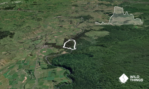
Ohinetonga Scenic Reserve - Owhango

Ohinetonga Scenic Reserve - Owhango

Length: 4.8km

Level: Beginner - Intermediate

Other trails nearby
Pukeonaki

Pukeonaki

Length: 3.3km

Level: Beginner - Intermediate

Distance Away: 8.9km

Ngauruhoe

Ngauruhoe

Length: 15.2km

Level: Intermediate

Distance Away: 10.6km

Tongariro Twist

Tongariro Twist

Length: 17.5km

Level: Intermediate

Distance Away: 10.6km

Tongariro Crossing

Tongariro Crossing

Length: 20.2km

Level: Intermediate

Distance Away: 10.6km

Find more trails and peaks nearby

Wild Things
Wild Things
Explore more

Plan smarter, stay motivated, track your progress, and unlock the full Wild Things experience — while saving along the way.