Last Updated: 30th Mar 2025
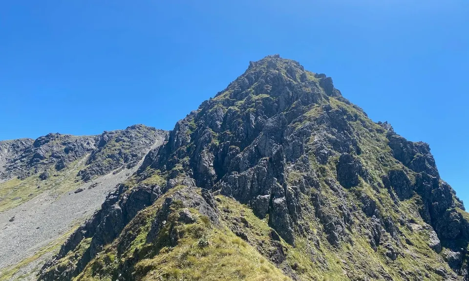
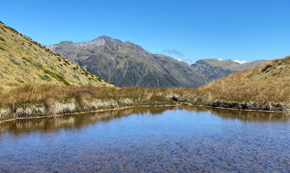
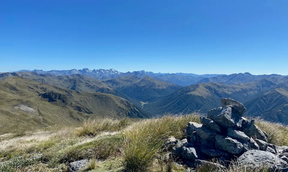
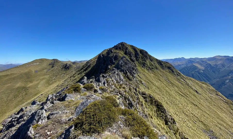
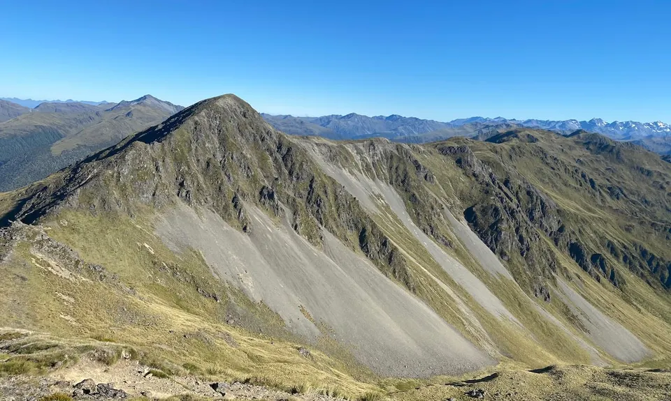
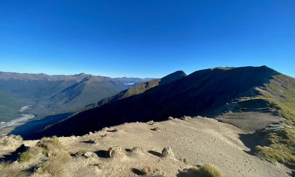
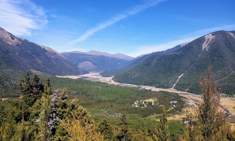
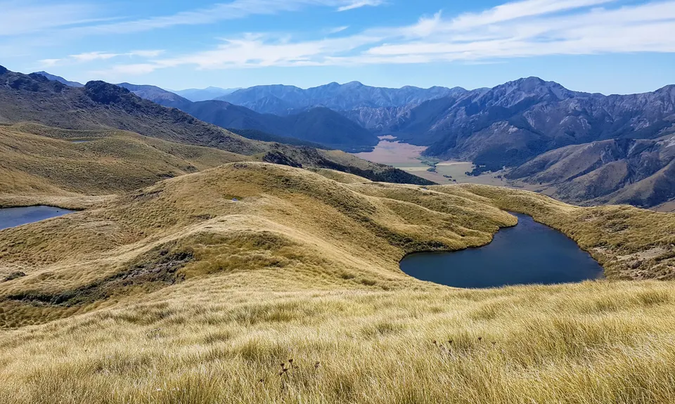
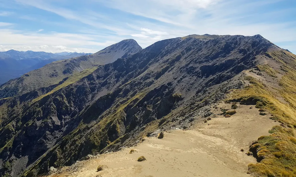
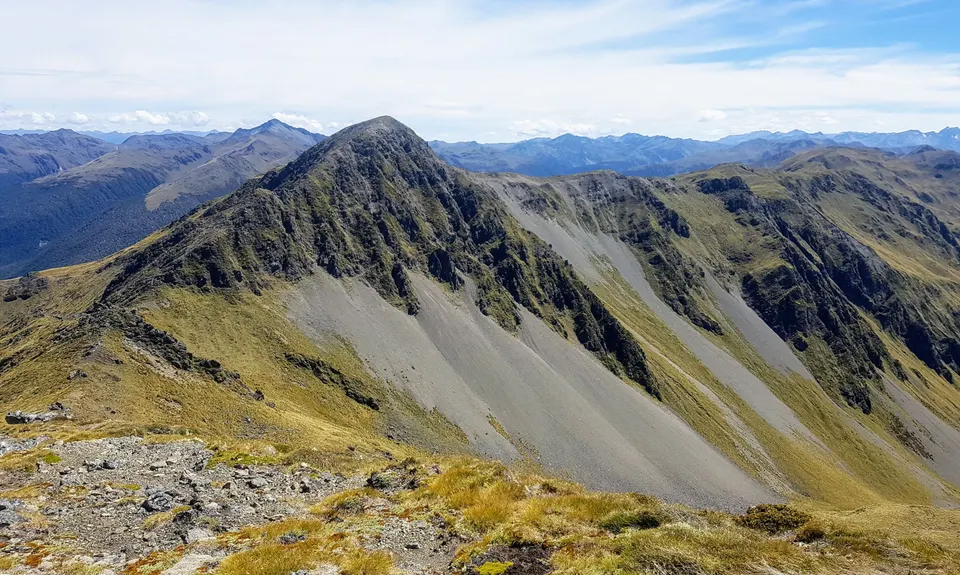
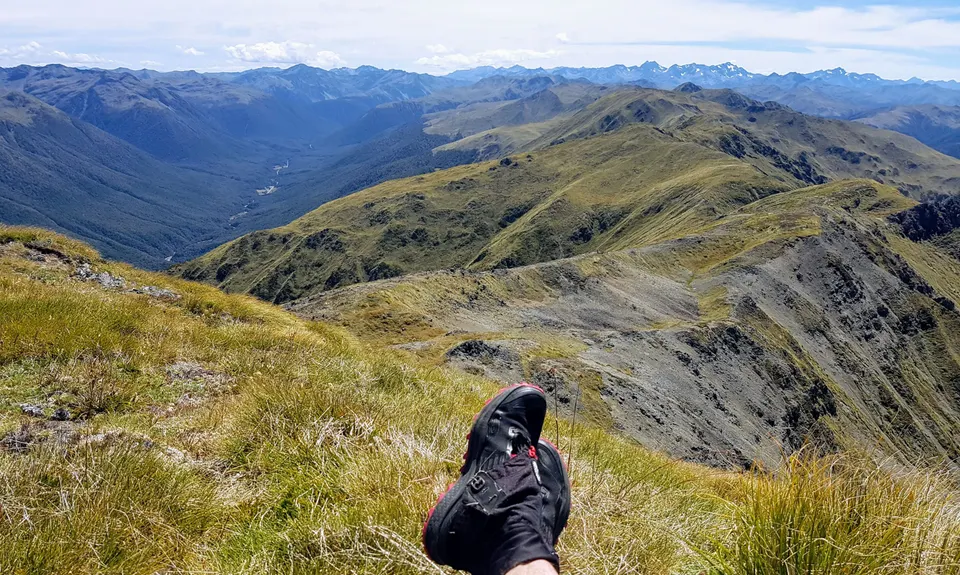
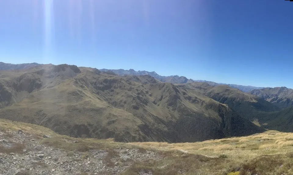
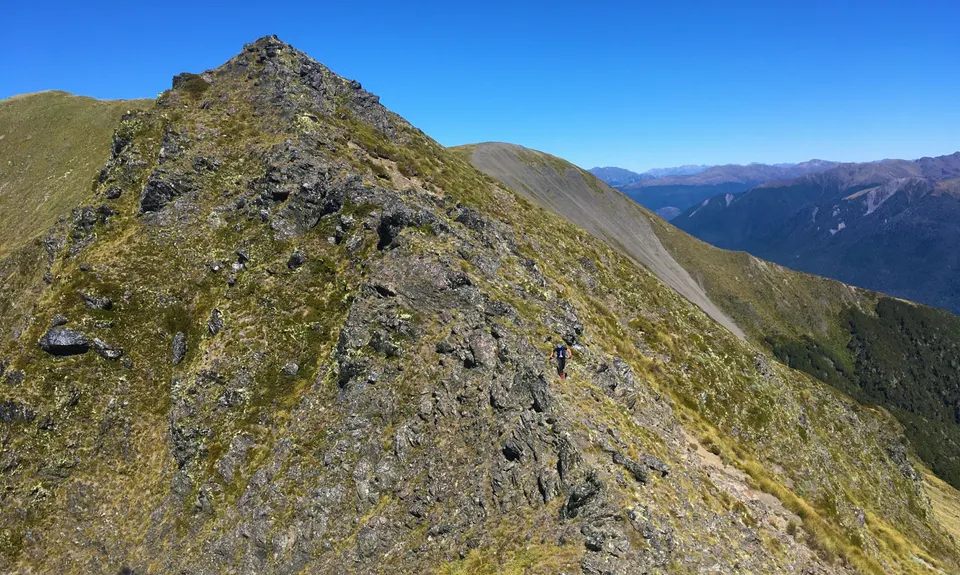
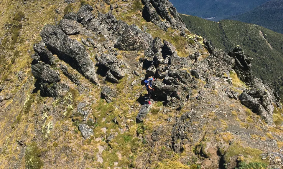
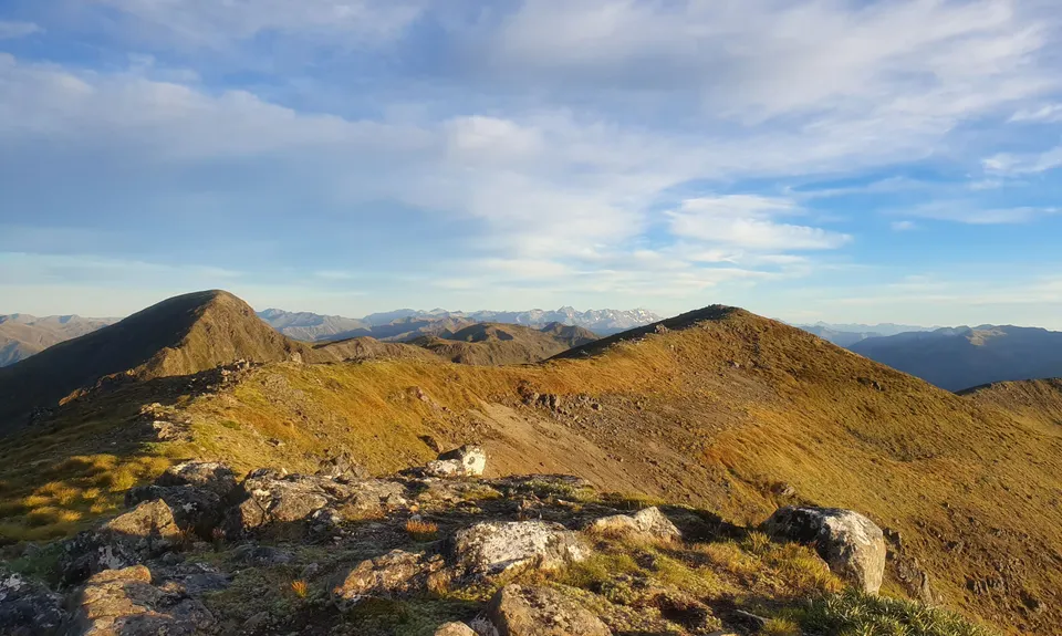
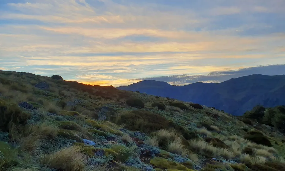
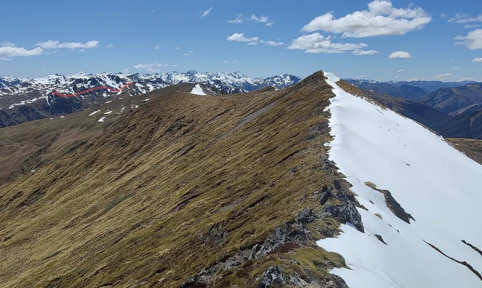
Libretto Traverse
Last Updated: 30th Mar 2025
Open
Grunt Factor: 78 ?
Gnarl Factor: 99 ?
24.4km
2360m
2180m
1736m
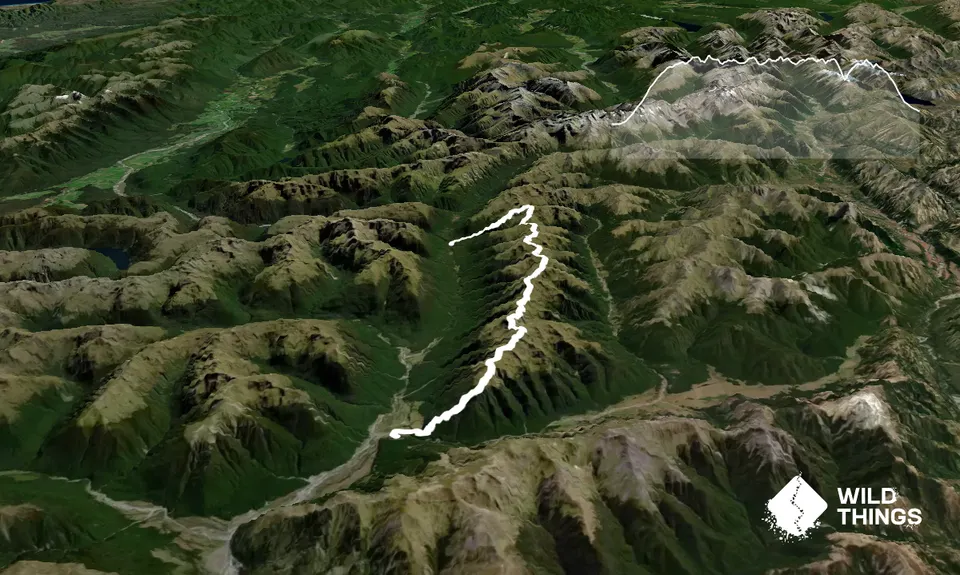
Trail Map
This Topo layer only covers NSW/ACT.
Switch to another map layer when viewing outside this area.
Switch to another map layer when viewing outside this area.


