Last Updated: 11th Nov 2025
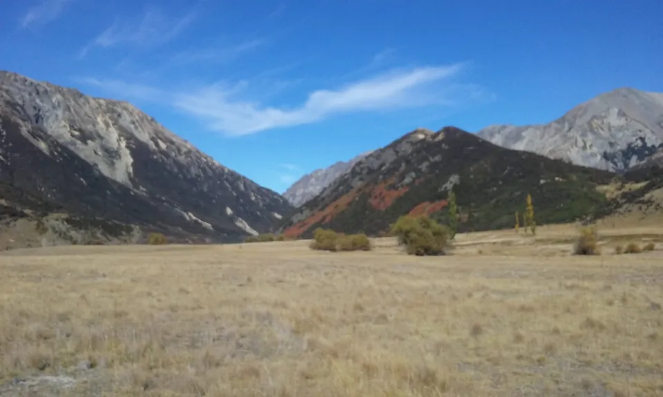
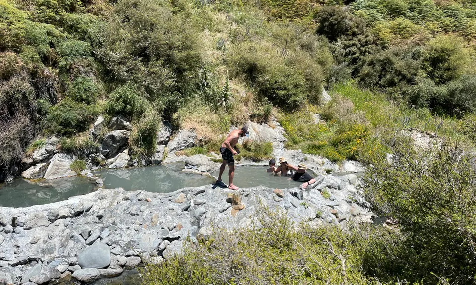
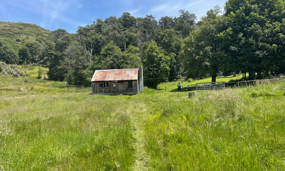
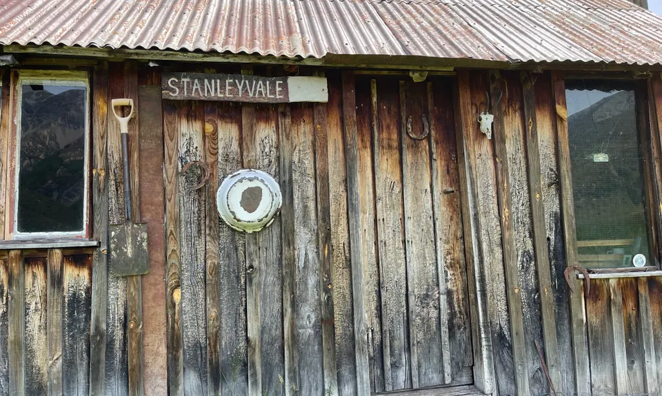
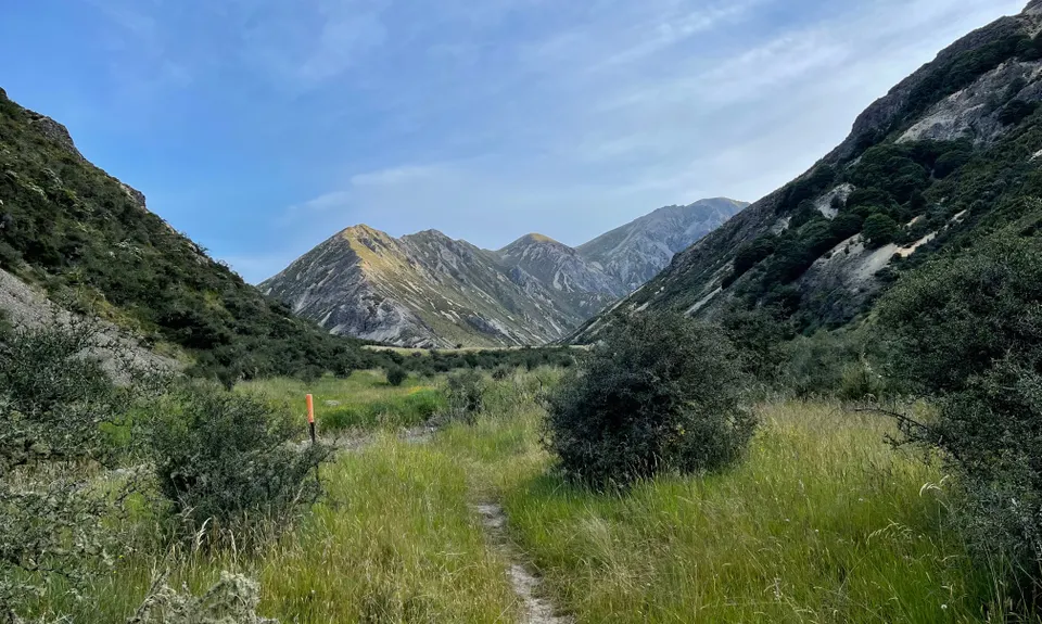
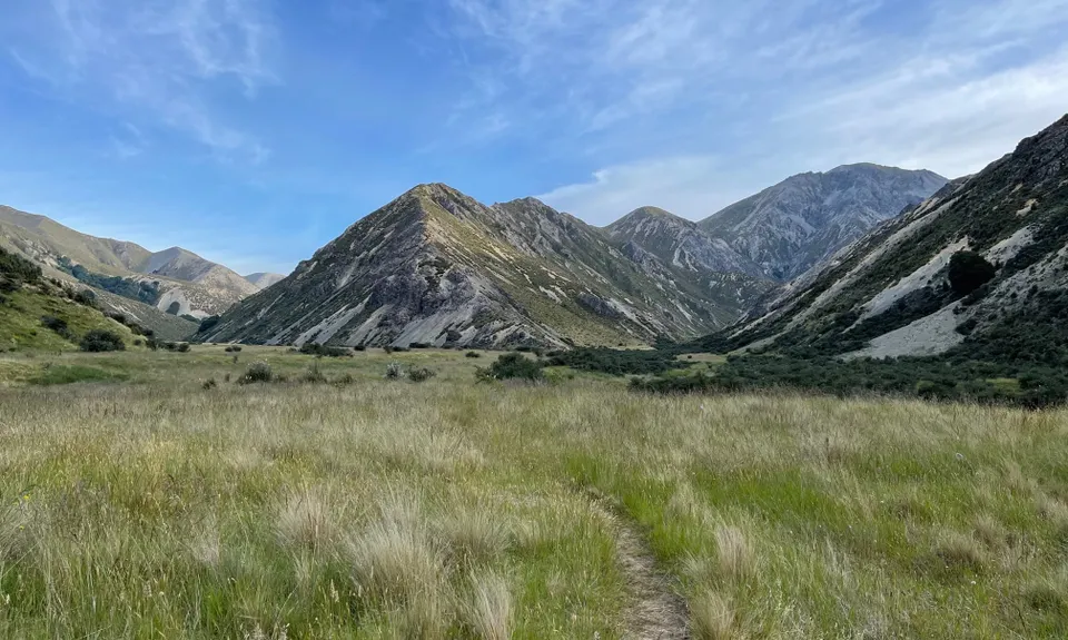
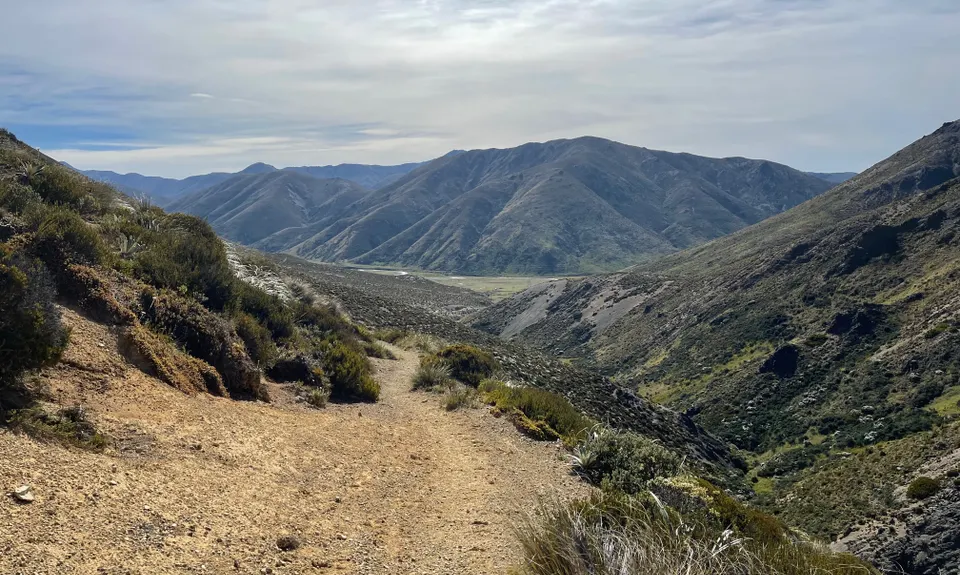
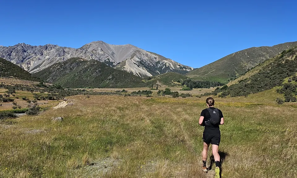
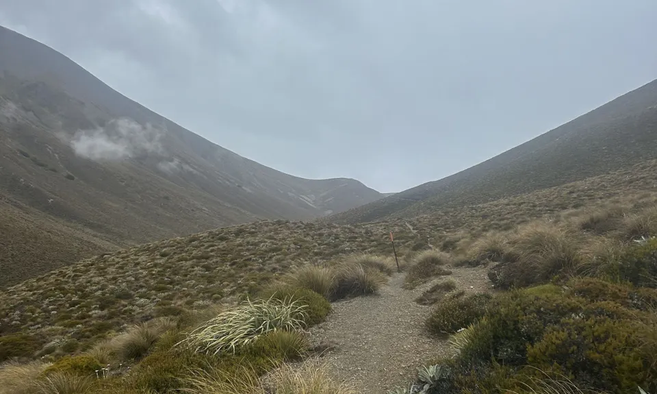
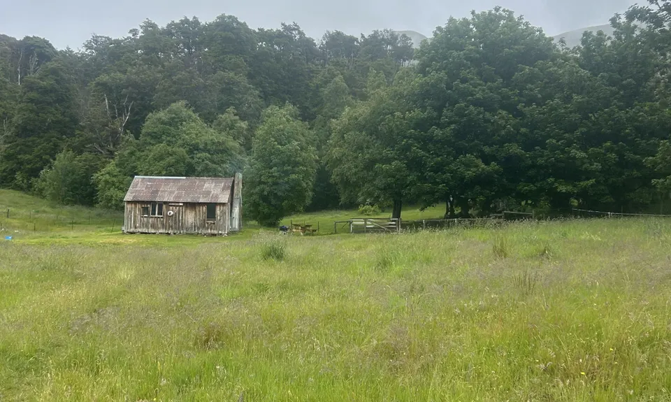
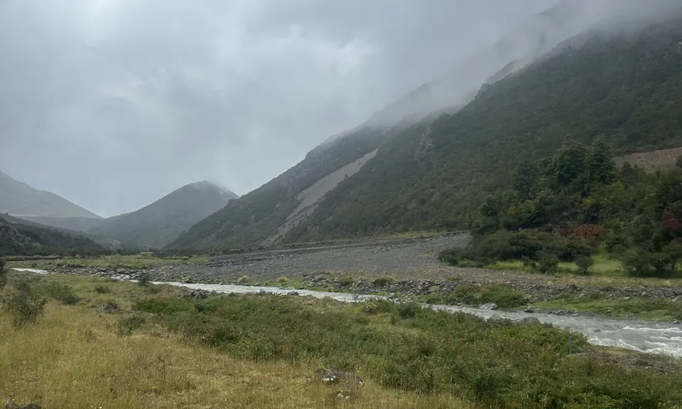
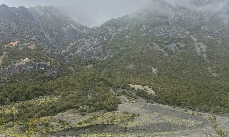
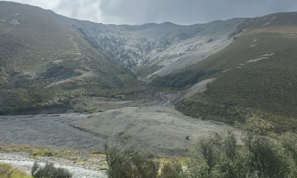
Fowlers Pass - St James
Last Updated: 11th Nov 2025
Open
Grunt Factor: 73 ?
Gnarl Factor: 27 ?
64.0km
1300m
1300m
1307m
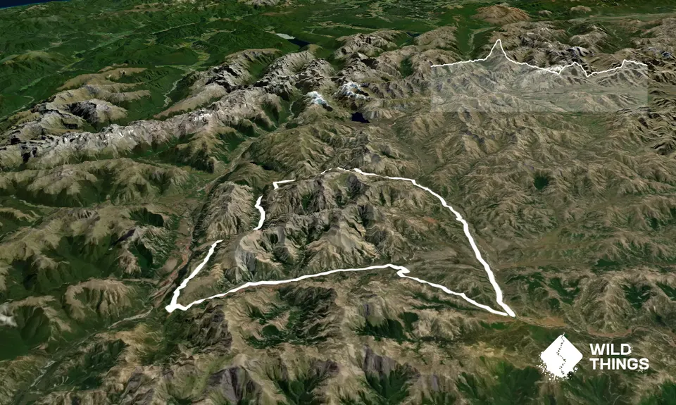
Trail Map
This Topo layer only covers NSW/ACT.
Switch to another map layer when viewing outside this area.
Switch to another map layer when viewing outside this area.


