Last Updated: 12th Mar 2026
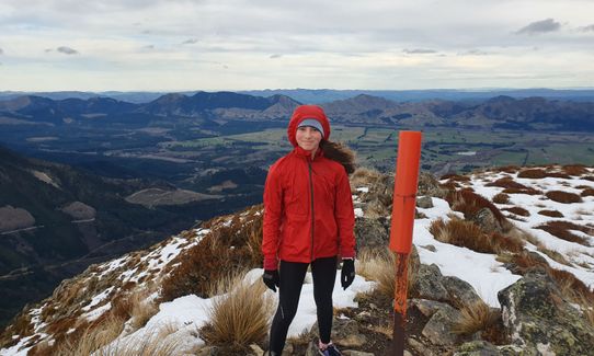
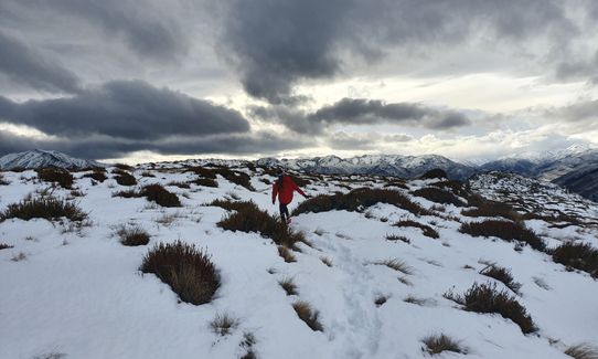
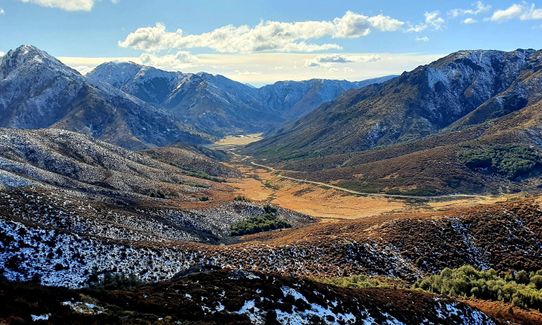
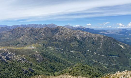
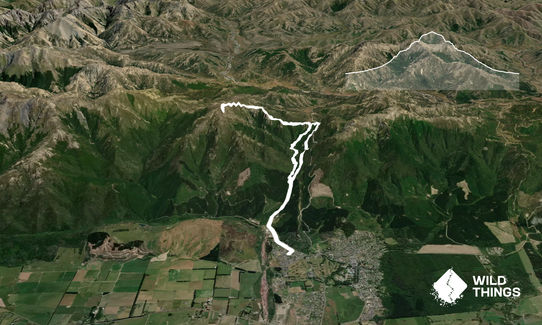
Mt Dumblane
Last Updated: 12th Mar 2026
Open
Grunt Factor: 38 ?
Gnarl Factor: 62 ?
15.0km
950m
950m
1300m


Trail Map
This Topo layer only covers NSW/ACT.
Switch to another map layer when viewing outside this area.
Switch to another map layer when viewing outside this area.


